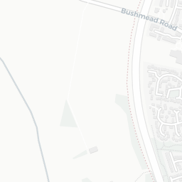
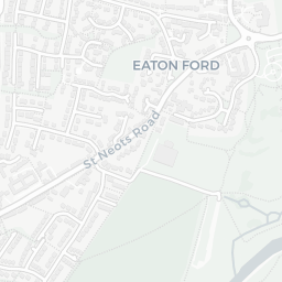
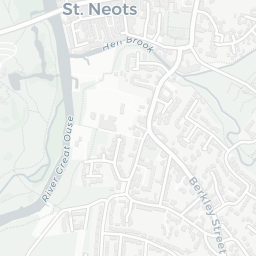
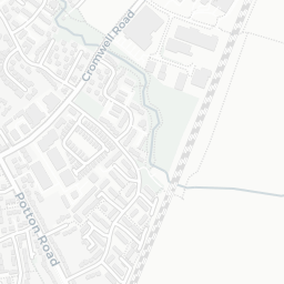
IMD environment decile 8/10 · 29.1 ha total — no proper park nearby
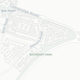
Nearest: St Neots Leisure Centre — 0.1 mi
Amenities88/100
15supermarkets
15 supermarkets within 2 mi — Morrisons, Tesco, Iceland, Aldi… — nearest 0.3 mi — library 0.9 mi
Nearest: Morrisons Daily St. Neots Bishops Road — 0.3 mi
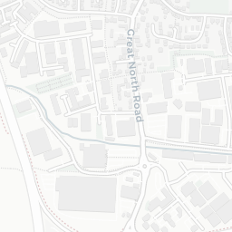
02 — Environment
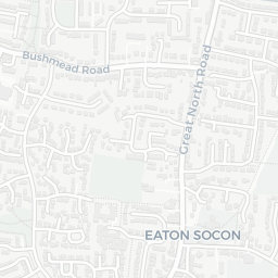
Environment & risk near PE19 2SH.
Official risk flags for context — deliberately not part of the NestScope score (they’re categorical hazards, not amenities).
Flood risk
Zone 2 (medium)
Flood Zone 2 — medium risk (1 in 100 to 1 in 1,000) · Source: Environment Agency Flood Map for Planning
▼
Zone 1
Zone 2
Zone 3
Air qualityWithin WHO guideline
8.1µg/m³
NO₂ annual mean · WHO guideline 10 · UK limit 40 · Source: DEFRA UK-AIR 2024
▼
<10
10–20
20–30
30–40
≥40
Road noiseQuiet
41dB Lden
Road traffic, day-evening-night average · Source: DEFRA strategic noise mapping
▼
<55
55–64
65–74
≥75
03 — House prices
Sold prices in PE19.
Average sold price by property type across the PE19 district, 2021–2026 — 5,259 sales.
Detached
Semi-detached
Terraced
Flat
Detached£486k▲ 1.0%
Semi-detached£281k▼ 6.4%
Terraced£279k▲ 5.2%
Flat£189k▲ 10.5%
District-level averages (PE19) — broad enough to show a reliable trend. A single postcode usually sees too few sales to chart. Source: HM Land Registry Price Paid Data (Crown Copyright / OGL v3.0).
About PE19 2SH
PE19 2SH scores 67/100 on the NestScope Score, with its strongest showing in local amenities and safety — with Morrisons Daily St. Neots Bishops Road about 6 minutes' walk away. The breakdown below draws on official UK data covering schools, safety, healthcare, transport, environment and local amenities.
In national context, PE19 2SH is an above-average neighbourhood — IMD decile 6/10, ranked 17,565 of 32,844 neighbourhoods in England. The Index of Multiple Deprivation is the UK government's official measure of relative deprivation, refreshed roughly every five years. Housing pressure here is moderate (IMD housing decile 6/10).
There are 15 schools within the typical catchment area, including 11 rated Good. The nearest school is Ernulf Academy, within a short walk.
There were 6 crimes reported on the surrounding streets in the most recent month, indicating a low level of immediate-area crime.
Healthcare access is good, with 5 GP surgeries and 6 dental practices in the wider neighbourhood. The nearest GP practice is GPSI DERMATOLOGY SERV EATON SOCON HUNTS, 0.8 mi away. A pharmacy is about 6 minutes' walk away.
There are no public transport stops near PE19 2SH, making this a more car-dependent location.
The location sits in Flood Zone 2 (medium risk — between a 1 in 100 and 1 in 1,000 annual chance), which may affect insurance and mortgage availability. road traffic noise is low (about 41 dB Lden).
There are 16 green spaces within walking distance, totalling 29.1 hectares of parks and outdoor space. The nearest is St Neots Leisure Centre, within a short walk.
There are 15 supermarkets in the wider area, including Morrisons, Tesco, Iceland, Aldi and others. The nearest is Morrisons Daily St. Neots Bishops Road, about 6 minutes' walk away. A public library is 0.9 mi away.
Sources: DfE/Ofsted, UK Police API, NHS ODS, NaPTAN, Environment Agency, Ordnance Survey, Natural England, DEFRA, Geolytix and Arts Council England. For an interactive map view, explore PE19 2SH on NestScope.