
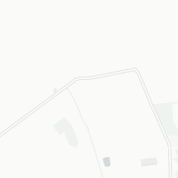


About PE15 0QS
PE15 0QS scores 63/100 on the NestScope Score, with its strongest showing in safety and healthcare — with only 2 crimes reported on the surrounding streets last month. The breakdown below draws on official UK data covering schools, safety, healthcare, transport, environment and local amenities.
In national context, PE15 0QS is an above-average neighbourhood — IMD decile 6/10, ranked 19,240 of 32,844 neighbourhoods in England. The Index of Multiple Deprivation is the UK government's official measure of relative deprivation, refreshed roughly every five years. Housing pressure here is low (IMD housing decile 8/10).
There are 3 schools within the typical catchment area, including 2 rated Good. The nearest school is Thomas Eaton Primary Academy (Ofsted: Good), within a short walk.
There were 2 crimes reported on the surrounding streets in the most recent month, indicating a very low level of immediate-area crime.
Healthcare access is good, with 6 GP surgeries and 1 hospital in the wider neighbourhood. The nearest GP practice is C&P IUC SERVICE DODDINGTON OOH, 1.4 mi away. The nearest hospital is DODDINGTON HOSPITAL, 1.4 mi away.
There are no public transport stops near PE15 0QS, making this a more car-dependent location.
The location is in Flood Zone 1 (low risk — less than a 1 in 1,000 annual chance of river or sea flooding).
There are 11 green spaces within walking distance, totalling 5.8 hectares of parks and outdoor space. The nearest is St Peter's Church, within a short walk.
There is 1 supermarket in the wider area, including Spar. The nearest is Spar - Mill Hill Garage (March) Ltd, 1.1 mi away.
Sources: DfE/Ofsted, UK Police API, NHS ODS, NaPTAN, Environment Agency, Ordnance Survey, Natural England, DEFRA, Geolytix and Arts Council England. For an interactive map view, explore PE15 0QS on NestScope.