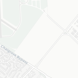
About OX44 7ST
OX44 7ST scores 82/100 on the NestScope Score, with its strongest showing in safety and green space — with only 5 crimes reported on the surrounding streets last month. The breakdown below draws on official UK data covering schools, safety, healthcare, transport, environment and local amenities.
In national context, OX44 7ST is one of the most affluent neighbourhoods in England — IMD decile 10/10, ranked 30,574 of 32,844 neighbourhoods in England. The Index of Multiple Deprivation is the UK government's official measure of relative deprivation, refreshed roughly every five years. Housing pressure here is moderate (IMD housing decile 7/10).
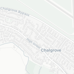
There is 1 school within the typical catchment area, including 1 rated Good. The nearest school is Chalgrove Community Primary School (Ofsted: Good), within a short walk.
There were 5 crimes reported on the surrounding streets in the most recent month, indicating a very low level of immediate-area crime.
Day-to-day healthcare provision nearby is limited. A pharmacy is about 3 minutes' walk away.
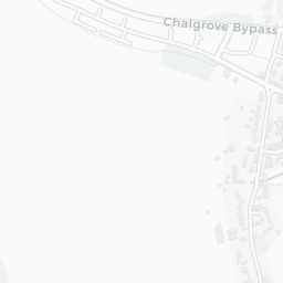
There are no train or Tube stations near OX44 7ST. Bus services provide the main public transport, with 4 bus stops in the immediate area.
The location sits in Flood Zone 2 (medium risk — between a 1 in 100 and 1 in 1,000 annual chance), which may affect insurance and mortgage availability. road traffic noise is moderate (about 58 dB Lden).
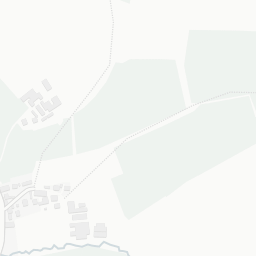
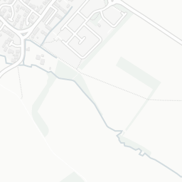
There are 9 green spaces within walking distance, totalling 7.1 hectares of parks and outdoor space. The nearest is Playground (300 m²), within a short walk. It also lies just beside a open access land (about 3 minutes' walk away), adding open countryside that isn't recorded as a formal park.
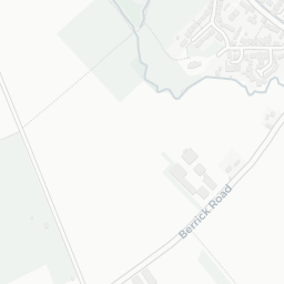
There are no supermarkets in the immediate area around OX44 7ST. Grocery shopping may require a car or delivery service.
Sources: DfE/Ofsted, UK Police API, NHS ODS, NaPTAN, Environment Agency, Ordnance Survey, Natural England, DEFRA, Geolytix and Arts Council England. For an interactive map view, explore OX44 7ST on NestScope.