About OX11 6JX
OX11 6JX scores 88/100 on the NestScope Score, with its strongest showing in safety and healthcare. The breakdown below draws on official UK data covering schools, safety, healthcare, transport, environment and local amenities.
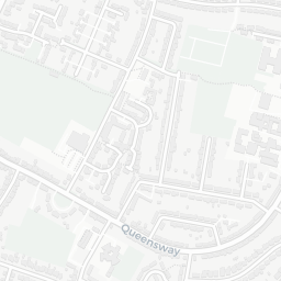
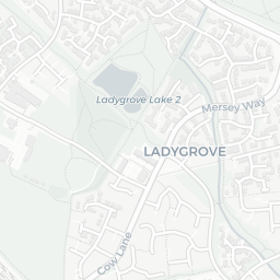
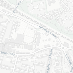
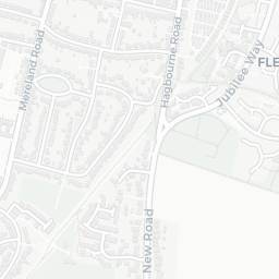
Neighbourhood Report
What's nearby — across walking, short-drive and school catchment distance. Data from official UK government sources.
One of the most affluent neighbourhoods in England
Anchored on official IMD data — decile 9/10, ranked 29,382 of 32,844 neighbourhoods in England.
How this score is calculatedThe large figure is how many we found nearby; the chip beside each label is that category’s NestScope score out of 100 — higher beats more of the UK.
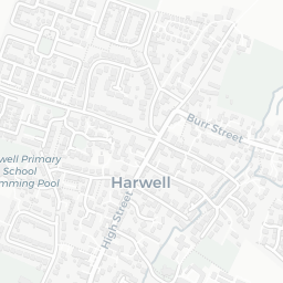
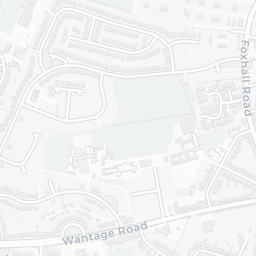
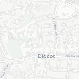
11 rated Good or better within 2 mi · 18 schools in total
Nearest top-rated: Didcot Primary Academy (Good) — 0.1 mi
IMD crime decile 10/10 · live count unavailable
Data temporarily unavailable
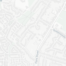
IMD health decile 10/10 · 4 GP, 1 hospital, 5 dentists, pharmacy 0.3 mi within 1.5 mi
Nearest GP: DIDCOT PCN HUB — 0.5 mi
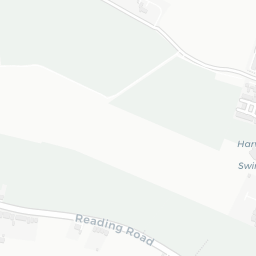
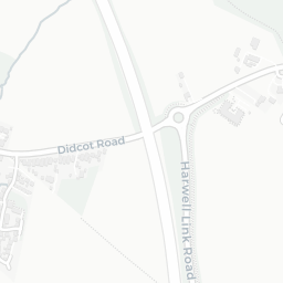
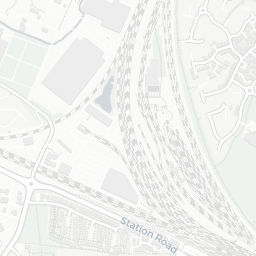
No rail stations within 0.5 miles · 15 bus stops nearby
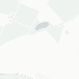
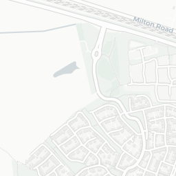
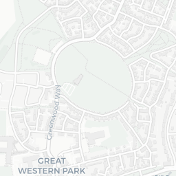
IMD environment decile 9/10 · 9.7 ha total — no proper park nearby
Nearest: Playground (600 m²) — 0.1 mi
12 supermarkets within 2 mi — Asda, Sainsburys, Tesco, The Co-operative Group… — nearest 0.1 mi — library 1.5 mi
Nearest: Asda Didcot Supermarket — 0.1 mi
Official risk flags for context — deliberately not part of the NestScope score (they’re categorical hazards, not amenities).
Flood Zone 1 — low risk (less than 1 in 1,000 annual chance) · Source: Environment Agency Flood Map for Planning
NO₂ annual mean · WHO guideline 10 · UK limit 40 · Source: DEFRA UK-AIR 2024
Road traffic, day-evening-night average · Source: DEFRA strategic noise mapping
Average sold price by property type across the OX11 district, 2021–2026 — 4,711 sales.
District-level averages (OX11) — broad enough to show a reliable trend. A single postcode usually sees too few sales to chart. Source: HM Land Registry Price Paid Data (Crown Copyright / OGL v3.0).
OX11 6JX scores 88/100 on the NestScope Score, with its strongest showing in safety and healthcare. The breakdown below draws on official UK data covering schools, safety, healthcare, transport, environment and local amenities.
Data: DfE/Ofsted · UK Police API · NHS ODS · NaPTAN · Ordnance Survey · Geolytix. Crown Copyright / OGL. Look up any postcode: nestscope.uk/area/YOUR+POSTCODE — e.g. SW1A 1AA, M1 1AE, BS1 1HT.