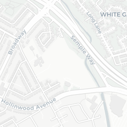
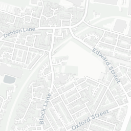
NestScope
OL9 7HX · Neighbourhood Report
© OpenStreetMap · © CARTO
Area Report
Last updated 13 JUN 2026

OL9 7HX

Neighbourhood Report

What's nearby — across walking, short-drive and school catchment distance. Data from official UK government sources.

NestScope Score
48/ 100

A more affordable, lower-income neighbourhood

Anchored on official IMD data — decile 1/10, ranked 3,129 of 32,844 neighbourhoods in England.

How this score is calculated
01 — Snapshot

Around OL9 7HX.

The large figure is how many we found nearby; the chip beside each label is that category’s NestScope score out of 100 — higher beats more of the UK.

Safety53/100
0crimes last month

IMD crime decile 1/10 · no crimes in 400m last month

Crimes reported last month · UK Police API

Healthcare67/100
29GP & hospitals

IMD health decile 2/10 · 29 GP, 14 dentists, pharmacy 0.2 mi within 1.5 mi

Nearest GP: EVEREST PHARMACY OLDHAM — 0.2 mi

Transport76/100
South Chadderton (Manchester Metrolink)0.3 mi

44 bus stops also within 0.5 miles

Green space65/100
20green spaces

IMD environment decile 1/10 · 20 ha total — largest park 6.6 ha (0.24 mi away)

Nearest: Corpus Christi Roman Catholic Church — 0.0 mi

Amenities80/100
25supermarkets

25 supermarkets within 2 mi — Tesco, Asda, Lidl, Spar… — nearest 0.3 mi — library 1.1 mi

Nearest: Tesco Butler Green Express — 0.3 mi

02 — Environment

Environment & risk near OL9 7HX.

Official risk flags for context — deliberately not part of the NestScope score (they’re categorical hazards, not amenities).

Flood risk
Zone 1 (low)

Flood Zone 1 — low risk (less than 1 in 1,000 annual chance) · Source: Environment Agency Flood Map for Planning

Zone 1
Zone 2
Zone 3
Air qualityLow
15.7µg/m³

NO₂ annual mean · WHO guideline 10 · UK limit 40 · Source: DEFRA UK-AIR 2024

<10
10–20
20–30
30–40
≥40

About OL9 7HX

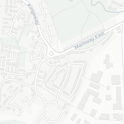
OL9 7HX scores 48/100 on the NestScope Score, with its strongest showing in local amenities and transport — with Tesco Butler Green Express about 5 minutes' walk away. The breakdown below draws on official UK data covering schools, safety, healthcare, transport, environment and local amenities.

In national context, OL9 7HX is a more affordable, lower-income neighbourhood — IMD decile 1/10, ranked 3,129 of 32,844 neighbourhoods in England. The Index of Multiple Deprivation is the UK government's official measure of relative deprivation, refreshed roughly every five years. Housing pressure here is low (IMD housing decile 10/10).

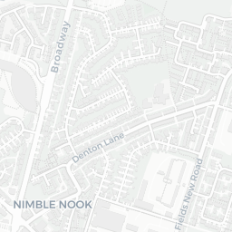
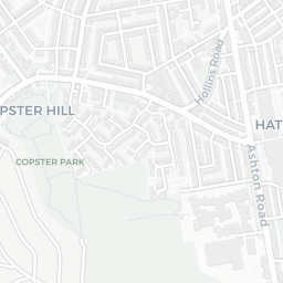
There are 76 schools within the typical catchment area, including 3 rated Outstanding by Ofsted and 38 rated Good. The nearest school is Stanley Road Primary School (Ofsted: Good), within a short walk.

No crimes were reported on the surrounding streets in the most recent month, consistent with a very low local crime profile.

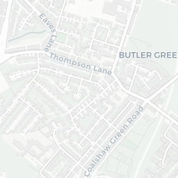
Healthcare access is good, with 29 GP surgeries and 14 dental practices in the wider neighbourhood. The nearest GP practice is EVEREST PHARMACY OLDHAM, about 4 minutes' walk away. A pharmacy is about 4 minutes' walk away.

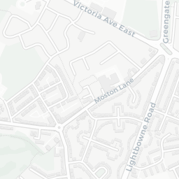
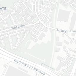
The nearest rail stations are South Chadderton (Manchester Metrolink) (Tube/Metro, about 6 minutes' walk away). There are also 44 bus stops within walking distance.

The location is in Flood Zone 1 (low risk — less than a 1 in 1,000 annual chance of river or sea flooding).

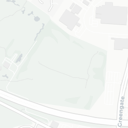
There are 20 green spaces within walking distance, totalling 20 hectares of parks and outdoor space. The nearest is Corpus Christi Roman Catholic Church, within a short walk.

There are 25 supermarkets in the wider area, including Tesco, Asda, Lidl, Spar and others. The nearest is Tesco Butler Green Express, about 5 minutes' walk away. A public library is 1.1 mi away.

Sources: DfE/Ofsted, UK Police API, NHS ODS, NaPTAN, Environment Agency, Ordnance Survey, Natural England, DEFRA, Geolytix and Arts Council England. For an interactive map view, explore OL9 7HX on NestScope.

Explore area insights about nearby locations

Data: DfE/Ofsted · UK Police API · NHS ODS · NaPTAN · Ordnance Survey · Geolytix. Crown Copyright / OGL. Look up any postcode: nestscope.uk/area/YOUR+POSTCODE — e.g. SW1A 1AA, M1 1AE, BS1 1HT.

NestScope

All data from publicly available UK government sources. Each dimension uses a category-appropriate radius (walking distance for crime and transport, school catchment, drive distance for healthcare). IMD context is the latest published English Indices of Deprivation (2019). This report is for informational purposes only.