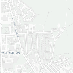
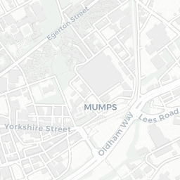
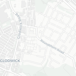
About OL9 6HY
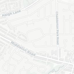
OL9 6HY scores 42/100 on the NestScope Score, with its strongest showing in local amenities and transport — with Spar - Platinum Retail - Marsland Service Station Ltd about 6 minutes' walk away. The main trade-off is its safety score. The breakdown below draws on official UK data covering schools, safety, healthcare, transport, environment and local amenities.
In national context, OL9 6HY is a more affordable, lower-income neighbourhood — IMD decile 1/10, ranked 568 of 32,844 neighbourhoods in England. The Index of Multiple Deprivation is the UK government's official measure of relative deprivation, refreshed roughly every five years. Housing pressure here is moderate (IMD housing decile 6/10).
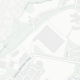
There are 80 schools within the typical catchment area, including 3 rated Outstanding by Ofsted and 39 rated Good. The nearest school is Richmond Academy (Ofsted: Good), within a short walk.
Healthcare access is good, with 38 GP surgeries, 2 hospitals and 16 dental practices in the wider neighbourhood. The nearest GP practice is JOHN STREET MEDICAL PRACTICE, about 5 minutes' walk away. The nearest hospital is A&E LIAISON - ROYAL OLDHAM HOSPITAL, about 13 minutes' walk away. A pharmacy is about 5 minutes' walk away.
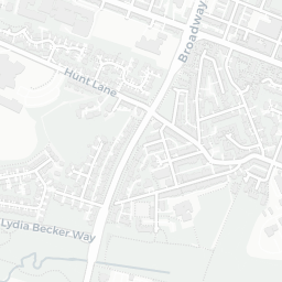
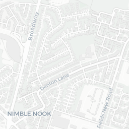
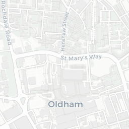
The nearest rail stations are Westwood (Manchester Metrolink) (Tube/Metro, within a short walk), Oldham King Street (Manchester Metrolink) (Tube/Metro, about 6 minutes' walk away). There are also 48 bus stops within walking distance.
The location is in Flood Zone 1 (low risk — less than a 1 in 1,000 annual chance of river or sea flooding).
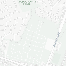
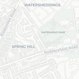
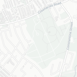
There are 16 green spaces within walking distance, totalling 3.8 hectares of parks and outdoor space. The nearest is Sports Facility (500 m²), about 2 minutes' walk away.
There are 26 supermarkets in the wider area, including Spar, Tesco, Iceland, Heron and others. The nearest is Spar - Platinum Retail - Marsland Service Station Ltd, about 6 minutes' walk away. A public library is about 8 minutes' walk away.
Sources: DfE/Ofsted, UK Police API, NHS ODS, NaPTAN, Environment Agency, Ordnance Survey, Natural England, DEFRA, Geolytix and Arts Council England. For an interactive map view, explore OL9 6HY on NestScope.