NestScope
NW1 0HE · Neighbourhood Report
© OpenStreetMap · © CARTO
Area Report
Last updated 16 JUN 2026

NW1 0HE

Neighbourhood Report

What's nearby — across walking, short-drive and school catchment distance. Data from official UK government sources.

NestScope Score
48/ 100

A more affordable, lower-income neighbourhood

Anchored on official IMD data — decile 2/10, ranked 4,567 of 32,844 neighbourhoods in England.

How this score is calculated
01 — Snapshot

Around NW1 0HE.

The large figure is how many we found nearby; the chip beside each label is that category’s NestScope score out of 100 — higher beats more of the UK.
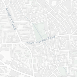
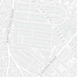
Schools54/100
28Good/Outstanding within 1 mi

89 rated Good or better within 2 mi · 166 schools in total

Nearest top-rated: Our Lady Roman Catholic Primary School (Outstanding) — 0.1 mi

Safety30/100
222crimes last month

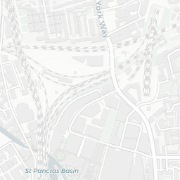
IMD crime decile 1/10 · 222 crimes in 400m last month (residential-weighted: 144.4)

Crimes reported last month · UK Police API
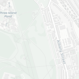
Healthcare79/100
76GP & hospitals

IMD health decile 4/10 · 59 GP, 17 hospitals, 90 dentists, pharmacy 0.2 mi within 1.5 mi

Nearest GP: CGL CAMDEN DRUG AND ALCOHOL SERVICE — 0.1 mi
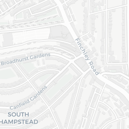
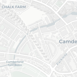
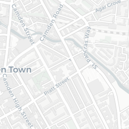
Transport77/100
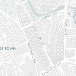
Camden Road Rail Station0.3 mi
Mornington Crescent Underground Station0.2 mi
Camden Town Underground Station0.3 mi

50 bus stops also within 0.5 miles
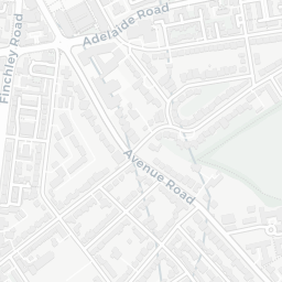
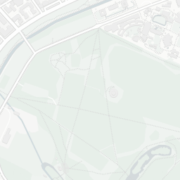
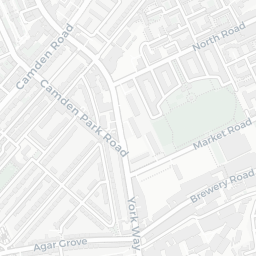
Green space53/100
30green spaces

IMD environment decile 2/10 · 7.7 ha total — no proper park nearby

Nearest: Playground (0.12 ha) — 0.0 mi

Amenities95/100
155supermarkets

155 supermarkets within 2 mi — Sainsburys, Aldi, Marks and Spencer, Tesco… — nearest 0.2 mi — library 0.2 mi

Nearest: Sainsburys Mornington Crescent Local — 0.2 mi

02 — Environment

Environment & risk near NW1 0HE.

Official risk flags for context — deliberately not part of the NestScope score (they’re categorical hazards, not amenities).

Flood risk
Zone 1 (low)

Flood Zone 1 — low risk (less than 1 in 1,000 annual chance) · Source: Environment Agency Flood Map for Planning

Zone 1
Zone 2
Zone 3
Air qualityModerate
26.5µg/m³

NO₂ annual mean · WHO guideline 10 · UK limit 40 · Source: DEFRA UK-AIR 2024

<10
10–20
20–30
30–40
≥40
Road noiseModerate
57dB Lden

Road traffic, day-evening-night average · Source: DEFRA strategic noise mapping

<55
55–64
65–74
≥75
Rail noiseQuiet
42dB Lden

Railways, day-evening-night average · Source: DEFRA strategic noise mapping

<55
55–64
65–74
≥75
03 — House prices

Sold prices in NW1.

Average sold price by property type across the NW1 district, 202120262,705 sales.

£0£5M£10M£15M202120222023202420252026
  • Detached
  • Semi-detached
  • Terraced
  • Flat
Detached£6.3M 2.1%
Semi-detached£2.0M 18.7%
Terraced£1.4M 44.7%
Flat£640k 28.5%

District-level averages (NW1) — broad enough to show a reliable trend. A single postcode usually sees too few sales to chart. Source: HM Land Registry Price Paid Data (Crown Copyright / OGL v3.0).

About NW1 0HE

NW1 0HE scores 48/100 on the NestScope Score, with its strongest showing in local amenities and healthcare — with Sainsburys Mornington Crescent Local about 3 minutes' walk away. The main trade-off is its safety score. The breakdown below draws on official UK data covering schools, safety, healthcare, transport, environment and local amenities.

Explore area insights about nearby locations

Data: DfE/Ofsted · UK Police API · NHS ODS · NaPTAN · Ordnance Survey · Geolytix. Crown Copyright / OGL. Look up any postcode: nestscope.uk/area/YOUR+POSTCODE — e.g. SW1A 1AA, M1 1AE, BS1 1HT.