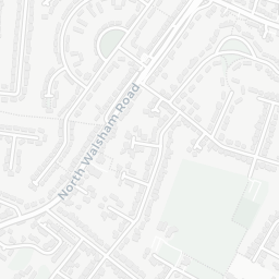
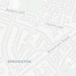
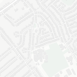
NestScope
NR6 7DS · Neighbourhood Report
© OpenStreetMap · © CARTO
Area Report
Last updated 13 JUN 2026

NR6 7DS

Neighbourhood Report

What's nearby — across walking, short-drive and school catchment distance. Data from official UK government sources.

NestScope Score
81/ 100

One of the most affluent neighbourhoods in England

Anchored on official IMD data — decile 9/10, ranked 29,123 of 32,844 neighbourhoods in England.

How this score is calculated
01 — Snapshot

Around NR6 7DS.

The large figure is how many we found nearby; the chip beside each label is that category’s NestScope score out of 100 — higher beats more of the UK.

Schools86/100
7Good/Outstanding within 1 mi

19 rated Good or better within 2 mi · 31 schools in total

Nearest top-rated: Old Catton CofE VC Junior School (Good) — 0.1 mi

Safety72/100

IMD crime decile 7/10 · live count unavailable

Data temporarily unavailable

Healthcare86/100
7GP & hospitals

IMD health decile 9/10 · 7 GP, 4 dentists, pharmacy 0.3 mi within 1.5 mi

Nearest GP: HELP FOR PSYCHOLOGY SERVICES LIMITED — 0.4 mi

Transport60/100

No rail stations within 0.5 miles

Green space86/100
13green spaces

IMD environment decile 7/10 · 38.1 ha total — largest park 28.1 ha (0.12 mi away)

Nearest: Playground (0.10 ha) — 0.0 mi

Amenities74/100
25supermarkets

25 supermarkets within 2 mi — East of England Co-operative, Morrisons, Aldi, Tesco… — nearest 0.6 mi — library 0.7 mi

Nearest: Co-op Fifers Lane Foodstore — 0.6 mi

02 — Environment

Environment & risk near NR6 7DS.

Official risk flags for context — deliberately not part of the NestScope score (they’re categorical hazards, not amenities).

Flood risk
Zone 1 (low)

Flood Zone 1 — low risk (less than 1 in 1,000 annual chance) · Source: Environment Agency Flood Map for Planning

Zone 1
Zone 2
Zone 3
Air qualityWithin WHO guideline
8.6µg/m³

NO₂ annual mean · WHO guideline 10 · UK limit 40 · Source: DEFRA UK-AIR 2024

<10
10–20
20–30
30–40
≥40

About NR6 7DS

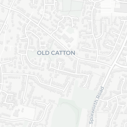
NR6 7DS scores 81/100 on the NestScope Score, with its strongest showing in schools and healthcare — with Old Catton CofE VC Junior School within a short walk. The breakdown below draws on official UK data covering schools, safety, healthcare, transport, environment and local amenities.

In national context, NR6 7DS is one of the most affluent neighbourhoods in England — IMD decile 9/10, ranked 29,123 of 32,844 neighbourhoods in England. The Index of Multiple Deprivation is the UK government's official measure of relative deprivation, refreshed roughly every five years. Housing pressure here is high (IMD housing decile 4/10).

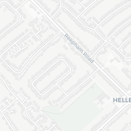
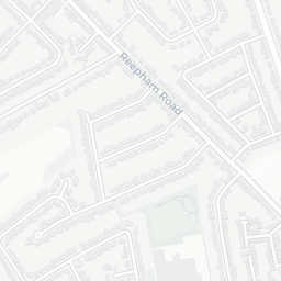
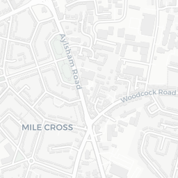
There are 31 schools within the typical catchment area, including 2 rated Outstanding by Ofsted and 17 rated Good. The nearest school is Old Catton CofE VC Junior School (Ofsted: Good), within a short walk.

Healthcare access is good, with 7 GP surgeries and 4 dental practices in the wider neighbourhood. The nearest GP practice is HELP FOR PSYCHOLOGY SERVICES LIMITED, about 8 minutes' walk away. A pharmacy is about 7 minutes' walk away.

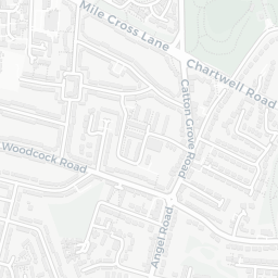
There are no public transport stops near NR6 7DS, making this a more car-dependent location.

The location is in Flood Zone 1 (low risk — less than a 1 in 1,000 annual chance of river or sea flooding).

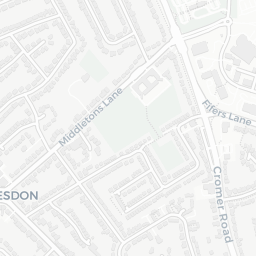
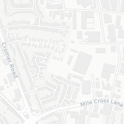
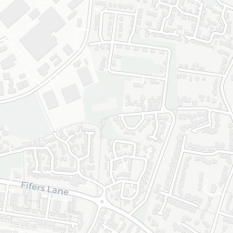
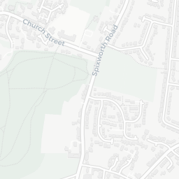
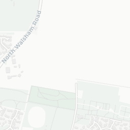
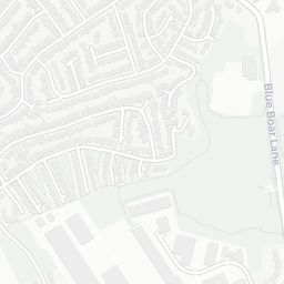
There are 13 green spaces within walking distance, totalling 38.1 hectares of parks and outdoor space. The nearest is Playground (0.10 ha), within a short walk. It also lies just beside a Country Park (within a short walk), adding open countryside that isn't recorded as a formal park.

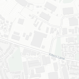
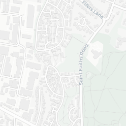
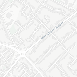
There are 25 supermarkets in the wider area, including East of England Co-operative, Morrisons, Aldi, Tesco and others. The nearest is Co-op Fifers Lane Foodstore, about 11 minutes' walk away. A public library is 0.7 mi away.

Sources: DfE/Ofsted, UK Police API, NHS ODS, NaPTAN, Environment Agency, Ordnance Survey, Natural England, DEFRA, Geolytix and Arts Council England. For an interactive map view, explore NR6 7DS on NestScope.

Explore area insights about nearby locations

Data: DfE/Ofsted · UK Police API · NHS ODS · NaPTAN · Ordnance Survey · Geolytix. Crown Copyright / OGL. Look up any postcode: nestscope.uk/area/YOUR+POSTCODE — e.g. SW1A 1AA, M1 1AE, BS1 1HT.

NestScope

All data from publicly available UK government sources. Each dimension uses a category-appropriate radius (walking distance for crime and transport, school catchment, drive distance for healthcare). IMD context is the latest published English Indices of Deprivation (2019). This report is for informational purposes only.