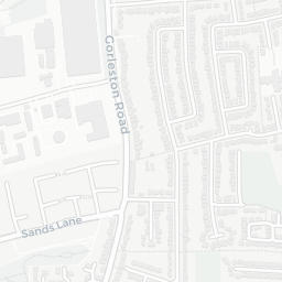

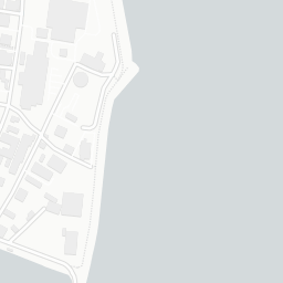


About NR32 1PL
NR32 1PL scores 41/100 on the NestScope Score, with its strongest showing in local amenities and transport — with Tesco Lowestoft Express about 5 minutes' walk away. The main trade-off is its safety score. The breakdown below draws on official UK data covering schools, safety, healthcare, transport, environment and local amenities.
In national context, NR32 1PL is a more affordable, lower-income neighbourhood — IMD decile 1/10, ranked 1,766 of 32,844 neighbourhoods in England. The Index of Multiple Deprivation is the UK government's official measure of relative deprivation, refreshed roughly every five years. Housing pressure here is low (IMD housing decile 9/10).
There are 21 schools within the typical catchment area, including 2 rated Outstanding by Ofsted and 9 rated Good. The nearest school is Learning Support, Northern Area Education Office, within a short walk.
Healthcare access is good, with 11 GP surgeries and 8 dental practices in the wider neighbourhood. The nearest GP practice is ALEXANDRA & CRESTVIEW SURGERIES, within a short walk. A pharmacy is within a short walk.
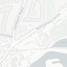
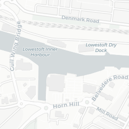
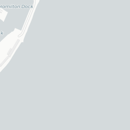
The nearest rail stations are Lowestoft Rail Station (Train, about 8 minutes' walk away). There are also 35 bus stops within walking distance.
The location is in Flood Zone 1 (low risk — less than a 1 in 1,000 annual chance of river or sea flooding).
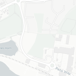
There are 9 green spaces within walking distance, totalling 3.8 hectares of parks and outdoor space. The nearest is Sports Facility (300 m²), about 3 minutes' walk away.
There are 13 supermarkets in the wider area, including Tesco, Iceland, Marks and Spencer, Morrisons and others. The nearest is Tesco Lowestoft Express, about 5 minutes' walk away. A public library is about 5 minutes' walk away.
Sources: DfE/Ofsted, UK Police API, NHS ODS, NaPTAN, Environment Agency, Ordnance Survey, Natural England, DEFRA, Geolytix and Arts Council England. For an interactive map view, explore NR32 1PL on NestScope.