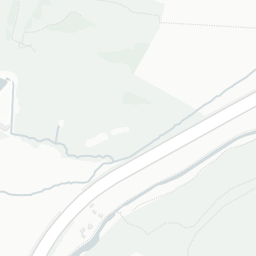
What's nearby — across walking, short-drive and school catchment distance. Data from official UK government sources.
NestScope Score
82/ 100
Partial score · Wales
A full NestScope Score relies on the England-only IMD backbone (plus schools, healthcare and crime data), so this is a partial score for Wales, based only on the layers actually covered here.
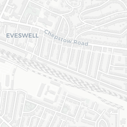
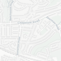
No rail stations within 0.5 miles · 49 bus stops nearby
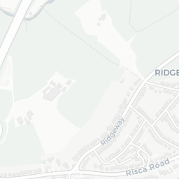
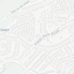
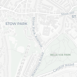
Green space58/100
18green spaces
3.1 ha total — largest park 0.7 ha (0.49 mi away)
Nearest: Playground (200 m²) — 0.3 mi
Amenities85/100
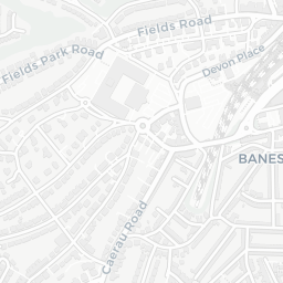
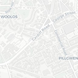
25supermarkets
25 supermarkets within 2 mi — Asda, Sainsburys, Marks and Spencer, Lidl… — nearest 0.2 mi
Nearest: Asda Casnewydd Express Petrol — 0.2 mi
02 — Environment
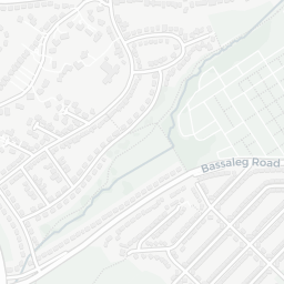
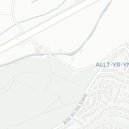
Environment & risk near NP19 0AP.
Official risk flags for context — deliberately not part of the NestScope score (they’re categorical hazards, not amenities).
Flood risk
Zone 1 (low)
Flood Zone 1 — low risk (less than 1 in 1,000 annual chance) · Source: Environment Agency Flood Map for Planning
▼
Zone 1
Zone 2
Zone 3
Air qualityLow
12µg/m³
NO₂ annual mean · WHO guideline 10 · UK limit 40 · Source: DEFRA UK-AIR 2024
▼
<10
10–20
20–30
30–40
≥40
03 — House prices
Sold prices in NP19.
Average sold price by property type across the NP19 district, 2021–2026 — 5,363 sales.
Detached
Semi-detached
Terraced
Flat
Detached£331k▲ 13.1%
Semi-detached£246k▲ 17.6%
Terraced£181k▲ 13.8%
Flat£130k▲ 8.0%
District-level averages (NP19) — broad enough to show a reliable trend. A single postcode usually sees too few sales to chart. Source: HM Land Registry Price Paid Data (Crown Copyright / OGL v3.0).
About NP19 0AP
NP19 0AP scores 82/100 on the NestScope Score, with its strongest showing in safety and healthcare — with no crimes reported on the surrounding streets last month. The breakdown below draws on official UK data covering schools, safety, healthcare, transport, environment and local amenities.
NP19 0AP sits outside England, so the national deprivation backbone (IMD) that anchors the NestScope Score isn't available — the figures below are based on local amenities only.
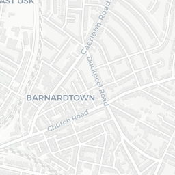
There are 22 schools within the typical catchment area. The nearest school is Maindee C.P. School, within a short walk.
No crimes were reported on the surrounding streets in the most recent month, consistent with a very low local crime profile.
Healthcare access is good, with 13 GP surgeries and 11 dental practices in the wider neighbourhood. The nearest GP practice is KALEIDOSCOPE PROJECT, about 6 minutes' walk away. A pharmacy is about 6 minutes' walk away.
There are no train or Tube stations near NP19 0AP. Bus services provide the main public transport, with 49 bus stops in the immediate area.
The location is in Flood Zone 1 (low risk — less than a 1 in 1,000 annual chance of river or sea flooding).
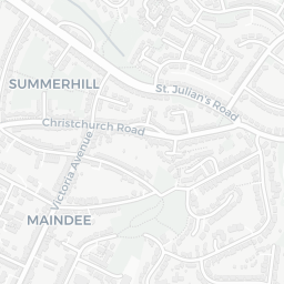
There are 18 green spaces within walking distance, totalling 3.1 hectares of parks and outdoor space. The nearest is Playground (200 m²), about 5 minutes' walk away.
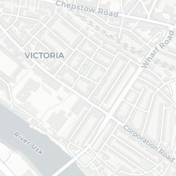
There are 25 supermarkets in the wider area, including Asda, Sainsburys, Marks and Spencer, Lidl and others. The nearest is Asda Casnewydd Express Petrol, about 5 minutes' walk away.
Sources: DfE/Ofsted, UK Police API, NHS ODS, NaPTAN, Environment Agency, Ordnance Survey, Natural England, DEFRA, Geolytix and Arts Council England. For an interactive map view, explore NP19 0AP on NestScope.