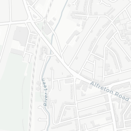

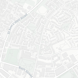
About NG7 4ED
NG7 4ED scores 49/100 on the NestScope Score, with its strongest showing in local amenities and transport — with Sainsburys Nottingham Waverley Street Local within a short walk. The main trade-off is its safety score. The breakdown below draws on official UK data covering schools, safety, healthcare, transport, environment and local amenities.
In national context, NG7 4ED is a more affordable, lower-income neighbourhood — IMD decile 2/10, ranked 3,805 of 32,844 neighbourhoods in England. The Index of Multiple Deprivation is the UK government's official measure of relative deprivation, refreshed roughly every five years. Housing pressure here is high (IMD housing decile 3/10).
There are 69 schools within the typical catchment area, including 2 rated Outstanding by Ofsted and 44 rated Good. The nearest school is Nottingham High School, within a short walk.
Healthcare access is good, with 29 GP surgeries, 2 hospitals and 27 dental practices in the wider neighbourhood. The nearest GP practice is GREENFIELDS MEDICAL PRACTICE, about 10 minutes' walk away. The nearest hospital is NOTTINGHAM UNIVERSITY HOSPITALS NHS TRUST - ROPEWALK HOUSE, about 11 minutes' walk away. A pharmacy is about 8 minutes' walk away.
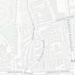
The nearest rail stations are High School Tram Stop (Tube/Metro, within a short walk), High School Tram Stop (Tube/Metro, within a short walk), High School Tram Stop (Tube/Metro, within a short walk). There are also 34 bus stops within walking distance.
The location is in Flood Zone 1 (low risk — less than a 1 in 1,000 annual chance of river or sea flooding).
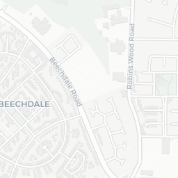
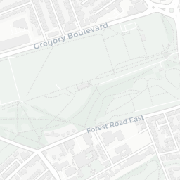
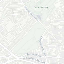
There are 21 green spaces within walking distance, totalling 51.9 hectares of parks and outdoor space. The nearest is Chinese Bell Garden, about 3 minutes' walk away.
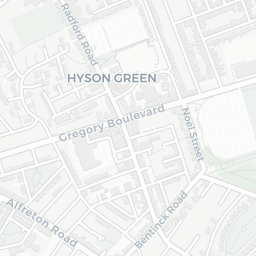
There are 54 supermarkets in the wider area, including Sainsburys, The Co-operative Group, Tesco, Asda and others. The nearest is Sainsburys Nottingham Waverley Street Local, within a short walk. A public library is about 10 minutes' walk away.
Sources: DfE/Ofsted, UK Police API, NHS ODS, NaPTAN, Environment Agency, Ordnance Survey, Natural England, DEFRA, Geolytix and Arts Council England. For an interactive map view, explore NG7 4ED on NestScope.