NestScope
NG20 9HB · Neighbourhood Report
© OpenStreetMap · © CARTO
Area Report
Last updated 15 JUN 2026

NG20 9HB

Neighbourhood Report

What's nearby — across walking, short-drive and school catchment distance. Data from official UK government sources.

NestScope Score
49/ 100

A more affordable, lower-income neighbourhood

Anchored on official IMD data — decile 2/10, ranked 4,785 of 32,844 neighbourhoods in England.

How this score is calculated
01 — Snapshot

Around NG20 9HB.

The large figure is how many we found nearby; the chip beside each label is that category’s NestScope score out of 100 — higher beats more of the UK.

Safety80/100
9crimes last month

IMD crime decile 9/10 · 9 crimes in 400m last month (residential-weighted: 6.3)

Crimes reported last month · UK Police API

Healthcare45/100
0GP & hospitals

IMD health decile 1/10 · pharmacy 0.6 mi within 1.5 mi

Transport68/100
Langwith - Whaley Thorns Rail Station0.3 mi

19 bus stops also within 0.5 miles

Green space67/100
10green spaces

IMD environment decile 3/10 · 11.5 ha total — largest park 4.4 ha (0.17 mi away)

Nearest: St Luke's Church — 0.0 mi

Amenities45/100
1supermarkets

1 supermarket within 2 mi — The Co-operative Group

Nearest: Co-op Cresswell Worksop — 2.0 mi

02 — Environment

Environment & risk near NG20 9HB.

Official risk flags for context — deliberately not part of the NestScope score (they’re categorical hazards, not amenities).

Flood risk
Zone 1 (low)

Flood Zone 1 — low risk (less than 1 in 1,000 annual chance) · Source: Environment Agency Flood Map for Planning

Zone 1
Zone 2
Zone 3
Air qualityWithin WHO guideline
6.3µg/m³

NO₂ annual mean · WHO guideline 10 · UK limit 40 · Source: DEFRA UK-AIR 2024

<10
10–20
20–30
30–40
≥40
03 — House prices

Sold prices in NG20.

Average sold price by property type across the NG20 district, 202120262,363 sales.

£0£100k£200k£300k202120222023202420252026
  • Detached
  • Semi-detached
  • Terraced
  • Flat
Detached£262k 20.9%
Semi-detached£160k 12.9%
Terraced£133k 35.0%
Flat£48k 38.3%

District-level averages (NG20) — broad enough to show a reliable trend. A single postcode usually sees too few sales to chart. Source: HM Land Registry Price Paid Data (Crown Copyright / OGL v3.0).

About NG20 9HB

NG20 9HB scores 49/100 on the NestScope Score, with its strongest showing in safety and transport — with only 9 crimes reported on the surrounding streets last month. The main trade-off is its schools score. The breakdown below draws on official UK data covering schools, safety, healthcare, transport, environment and local amenities.

In national context, NG20 9HB is a more affordable, lower-income neighbourhood — IMD decile 2/10, ranked 4,785 of 32,844 neighbourhoods in England. The Index of Multiple Deprivation is the UK government's official measure of relative deprivation, refreshed roughly every five years. Housing pressure here is low (IMD housing decile 10/10).

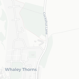
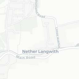
There are 9 schools within the typical catchment area, including 1 rated Outstanding by Ofsted and 4 rated Good. The nearest school is Whaley Thorns Primary School, within a short walk.

There were 9 crimes reported on the surrounding streets in the most recent month, indicating a low level of immediate-area crime.

Day-to-day healthcare provision nearby is limited. A pharmacy is about 11 minutes' walk away.

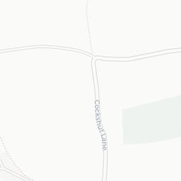
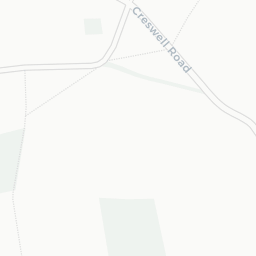
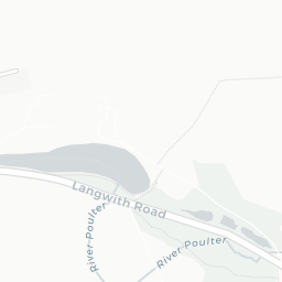
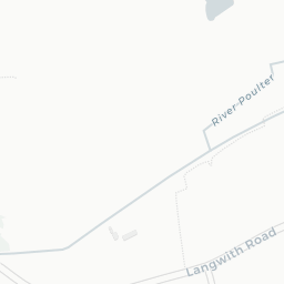
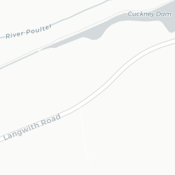
The nearest rail stations are Langwith - Whaley Thorns Rail Station (Train, about 6 minutes' walk away). There are also 19 bus stops within walking distance.

The location is in Flood Zone 1 (low risk — less than a 1 in 1,000 annual chance of river or sea flooding).

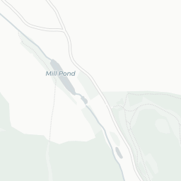
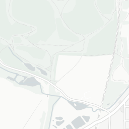
There are 10 green spaces within walking distance, totalling 11.5 hectares of parks and outdoor space. The nearest is St Luke's Church, within a short walk. It also lies just beside a Country Park (about 4 minutes' walk away), adding open countryside that isn't recorded as a formal park.

There is 1 supermarket in the wider area, including The Co-operative Group. The nearest is Co-op Cresswell Worksop, 2.0 mi away.

Sources: DfE/Ofsted, UK Police API, NHS ODS, NaPTAN, Environment Agency, Ordnance Survey, Natural England, DEFRA, Geolytix and Arts Council England. For an interactive map view, explore NG20 9HB on NestScope.

Explore area insights about nearby locations

Data: DfE/Ofsted · UK Police API · NHS ODS · NaPTAN · Ordnance Survey · Geolytix. Crown Copyright / OGL. Look up any postcode: nestscope.uk/area/YOUR+POSTCODE — e.g. SW1A 1AA, M1 1AE, BS1 1HT.