NestScope
NG2 7YF · Neighbourhood Report
© OpenStreetMap · © CARTO
Area Report
Last updated 16 JUN 2026

NG2 7YF

Neighbourhood Report

What's nearby — across walking, short-drive and school catchment distance. Data from official UK government sources.

NestScope Score
90/ 100

One of the most affluent neighbourhoods in England

Anchored on official IMD data — decile 10/10, ranked 32,047 of 32,844 neighbourhoods in England.

How this score is calculated
01 — Snapshot

Around NG2 7YF.

The large figure is how many we found nearby; the chip beside each label is that category’s NestScope score out of 100 — higher beats more of the UK.

Schools92/100
9Good/Outstanding within 1 mi

25 rated Good or better within 2 mi · 35 schools in total

Nearest top-rated: St Patrick's Catholic Primary and Nursery School (Good) — 0.3 mi

Safety82/100
1crimes last month

IMD crime decile 7/10 · 1 crime in 400m last month (residential-weighted: 1)

Crimes reported last month · UK Police API

Healthcare93/100
14GP & hospitals

IMD health decile 10/10 · 13 GP, 1 hospital, 19 dentists, pharmacy 0.6 mi within 1.5 mi

Nearest GP: NEWMEDICA NOTTINGHAM — 0.6 mi

Transport96/100
Wilford Village Tram Stop0.3 mi
Wilford Lane Tram Stop0.5 mi

22 bus stops also within 0.5 miles

Green space80/100
18green spaces

IMD environment decile 7/10 · 75.2 ha total — largest park 20.5 ha (0.32 mi away)

Nearest: Gresham Sports Park — 0.1 mi

Amenities87/100
46supermarkets

46 supermarkets within 2 mi — Lidl, Aldi, The Co-operative Group, Iceland… — nearest 0.4 mi — library 0.7 mi

Nearest: Lidl West Bridgford — 0.4 mi

02 — Environment

Environment & risk near NG2 7YF.

Official risk flags for context — deliberately not part of the NestScope score (they’re categorical hazards, not amenities).

Flood risk
Zone 3 (high)

Flood Zone 3 — high risk (1 in 100 annual chance) · Source: Environment Agency Flood Map for Planning

Zone 1
Zone 2
Zone 3
Air qualityLow
11.9µg/m³

NO₂ annual mean · WHO guideline 10 · UK limit 40 · Source: DEFRA UK-AIR 2024

<10
10–20
20–30
30–40
≥40
Road noiseQuiet
47dB Lden

Road traffic, day-evening-night average · Source: DEFRA strategic noise mapping

<55
55–64
65–74
≥75
Rail noiseQuiet
46dB Lden

Railways, day-evening-night average · Source: DEFRA strategic noise mapping

<55
55–64
65–74
≥75
03 — House prices

Sold prices in NG2.

Average sold price by property type across the NG2 district, 202120265,061 sales.

£0£200k£400k£600k202120222023202420252026
  • Detached
  • Semi-detached
  • Terraced
  • Flat
Detached£494k 6.3%
Semi-detached£378k 7.4%
Terraced£223k 10.2%
Flat£158k 23.4%

District-level averages (NG2) — broad enough to show a reliable trend. A single postcode usually sees too few sales to chart. Source: HM Land Registry Price Paid Data (Crown Copyright / OGL v3.0).

About NG2 7YF

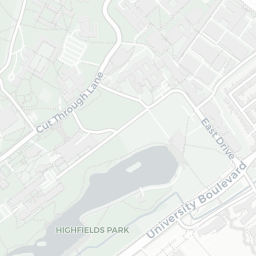
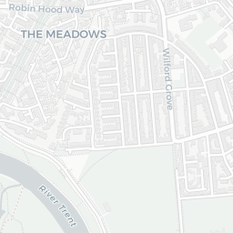
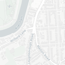
NG2 7YF scores 90/100 on the NestScope Score, with its strongest showing in transport and healthcare — with Wilford Village Tram Stop about 7 minutes' walk away. The breakdown below draws on official UK data covering schools, safety, healthcare, transport, environment and local amenities.

In national context, NG2 7YF is one of the most affluent neighbourhoods in England — IMD decile 10/10, ranked 32,047 of 32,844 neighbourhoods in England. The Index of Multiple Deprivation is the UK government's official measure of relative deprivation, refreshed roughly every five years. Housing pressure here is low (IMD housing decile 9/10).

There are 35 schools within the typical catchment area, including 2 rated Outstanding by Ofsted and 23 rated Good. The nearest school is The Nottingham Emmanuel School, about 2 minutes' walk away.

There was 1 crime reported on the surrounding streets in the most recent month, indicating a very low level of immediate-area crime.

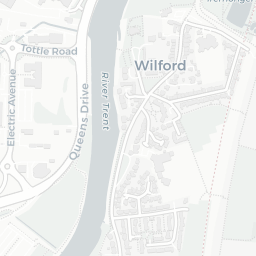
Healthcare access is good, with 13 GP surgeries, 1 hospital and 19 dental practices in the wider neighbourhood. The nearest GP practice is NEWMEDICA NOTTINGHAM, about 12 minutes' walk away. The nearest hospital is MEADOWBANK DAY HOSPITAL, 0.8 mi away. A pharmacy is about 12 minutes' walk away.

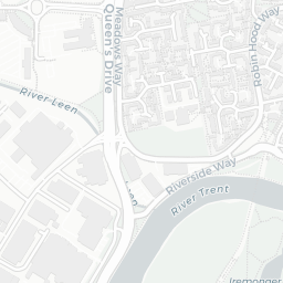
The nearest rail stations are Wilford Village Tram Stop (Tube/Metro, about 7 minutes' walk away), Wilford Lane Tram Stop (Tube/Metro, about 9 minutes' walk away). There are also 22 bus stops within walking distance.

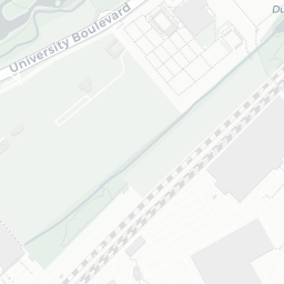
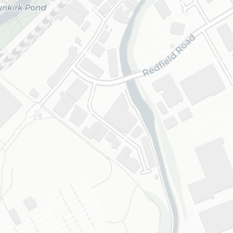
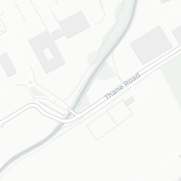
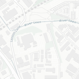
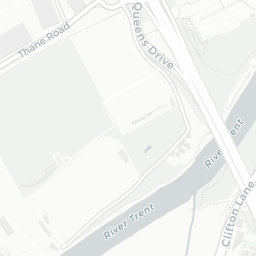
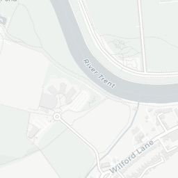
The location sits in Flood Zone 3 (high risk — between a 1 in 100 and 1 in 200 annual chance of river or sea flooding), which may affect insurance and mortgage availability. road traffic noise is low (about 47 dB Lden), and rail noise is low (about 46 dB Lden).

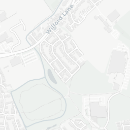
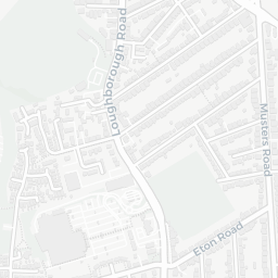
There are 18 green spaces within walking distance, totalling 75.2 hectares of parks and outdoor space. The nearest is Gresham Sports Park, about 3 minutes' walk away.

There are 46 supermarkets in the wider area, including Lidl, Aldi, The Co-operative Group, Iceland and others. The nearest is Lidl West Bridgford, about 7 minutes' walk away. A public library is about 13 minutes' walk away.

Sources: DfE/Ofsted, UK Police API, NHS ODS, NaPTAN, Environment Agency, Ordnance Survey, Natural England, DEFRA, Geolytix and Arts Council England. For an interactive map view, explore NG2 7YF on NestScope.

Data: DfE/Ofsted · UK Police API · NHS ODS · NaPTAN · Ordnance Survey · Geolytix. Crown Copyright / OGL. Look up any postcode: nestscope.uk/area/YOUR+POSTCODE — e.g. SW1A 1AA, M1 1AE, BS1 1HT.