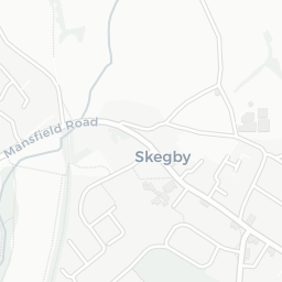
About NG19 6JA
NG19 6JA scores 52/100 on the NestScope Score, with its strongest showing in local amenities and green space — with Heron Ladybrook Mansfield about 3 minutes' walk away. The main trade-off is its schools score. The breakdown below draws on official UK data covering schools, safety, healthcare, transport, environment and local amenities.
In national context, NG19 6JA is a more affordable, lower-income neighbourhood — IMD decile 2/10, ranked 4,948 of 32,844 neighbourhoods in England. The Index of Multiple Deprivation is the UK government's official measure of relative deprivation, refreshed roughly every five years. Housing pressure here is low (IMD housing decile 8/10).
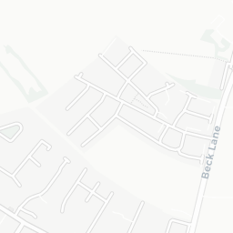
There are 26 schools within the typical catchment area, including 1 rated Outstanding by Ofsted and 18 rated Good. The nearest school is Intake Farm Primary School (Ofsted: Good), within a short walk.
Healthcare access is good, with 13 GP surgeries, 2 hospitals and 9 dental practices in the wider neighbourhood. The nearest GP practice is ORCHARD MEDICAL PRACTICE, about 14 minutes' walk away. The nearest hospital is MANSFIELD COMMUNITY HOSPITAL, 0.8 mi away. A pharmacy is about 6 minutes' walk away.
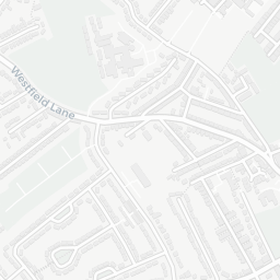
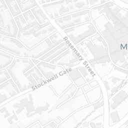
There are no train or Tube stations near NG19 6JA. Bus services provide the main public transport, with 30 bus stops in the immediate area.
The location is in Flood Zone 1 (low risk — less than a 1 in 1,000 annual chance of river or sea flooding).
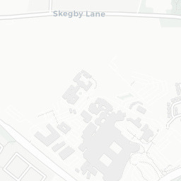
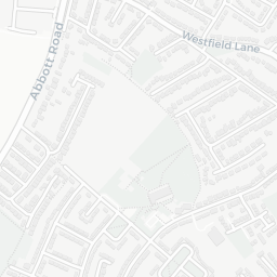
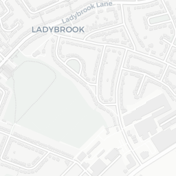
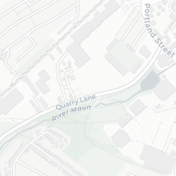
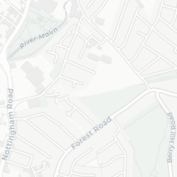
There are 13 green spaces within walking distance, totalling 19.8 hectares of parks and outdoor space. The nearest is Ladybrook Park, within a short walk. It also lies just beside a nature reserve (0.8 mi away), adding open countryside that isn't recorded as a formal park.
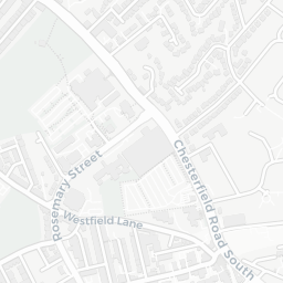
There are 20 supermarkets in the wider area, including Heron, Morrisons, Asda, Marks and Spencer and others. The nearest is Heron Ladybrook Mansfield, about 3 minutes' walk away. A public library is about 4 minutes' walk away.
Sources: DfE/Ofsted, UK Police API, NHS ODS, NaPTAN, Environment Agency, Ordnance Survey, Natural England, DEFRA, Geolytix and Arts Council England. For an interactive map view, explore NG19 6JA on NestScope.