
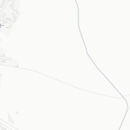
About NG13 9AW
NG13 9AW scores 78/100 on the NestScope Score, with its strongest showing in safety and transport. The breakdown below draws on official UK data covering schools, safety, healthcare, transport, environment and local amenities.
In national context, NG13 9AW is a well-off neighbourhood — IMD decile 8/10, ranked 25,703 of 32,844 neighbourhoods in England. The Index of Multiple Deprivation is the UK government's official measure of relative deprivation, refreshed roughly every five years. Housing pressure here is high (IMD housing decile 3/10).
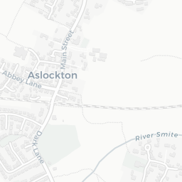
There are 2 schools within the typical catchment area, including 1 rated Outstanding by Ofsted and 1 rated Good. The nearest school is Archbishop Cranmer Church of England Academy (Ofsted: Outstanding), within a short walk.
Healthcare access is available, with 1 GP surgery and 1 dental practice in the wider neighbourhood. The nearest GP practice is HMP WHATTON, about 12 minutes' walk away.
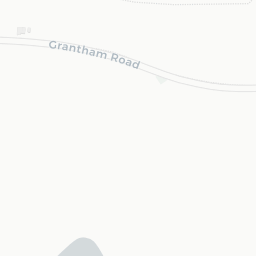
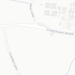
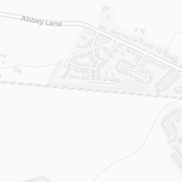
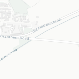
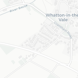
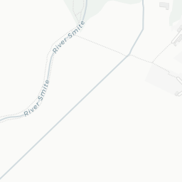
The nearest rail stations are Aslockton Rail Station (Train, about 2 minutes' walk away). There are also 5 bus stops within walking distance.
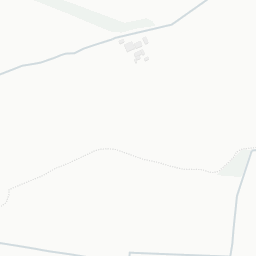
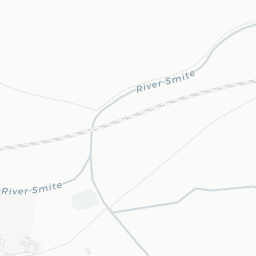
The location is in Flood Zone 1 (low risk — less than a 1 in 1,000 annual chance of river or sea flooding).
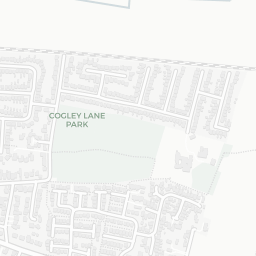
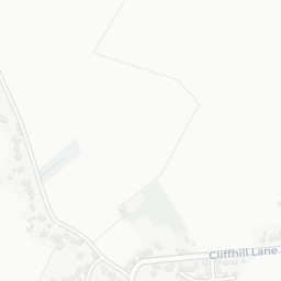
There are 8 green spaces within walking distance, totalling 4.1 hectares of parks and outdoor space. The nearest is Allotments (0.45 ha), about 3 minutes' walk away. It also lies just beside a open access land (1.0 mi away), adding open countryside that isn't recorded as a formal park.
There are no supermarkets in the immediate area around NG13 9AW. Grocery shopping may require a car or delivery service.
Sources: DfE/Ofsted, UK Police API, NHS ODS, NaPTAN, Environment Agency, Ordnance Survey, Natural England, DEFRA, Geolytix and Arts Council England. For an interactive map view, explore NG13 9AW on NestScope.