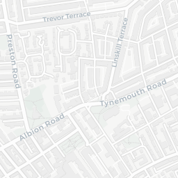
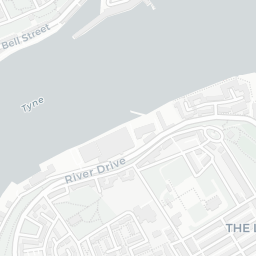
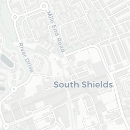

About NE29 0DB
NE29 0DB scores 58/100 on the NestScope Score, with its strongest showing in local amenities and transport — with Aldi Hawkeys Lane North Shields about 4 minutes' walk away. The main trade-off is its safety score. The breakdown below draws on official UK data covering schools, safety, healthcare, transport, environment and local amenities.
In national context, NE29 0DB is a mixed, mid-ranking neighbourhood — IMD decile 4/10, ranked 10,000 of 32,844 neighbourhoods in England. The Index of Multiple Deprivation is the UK government's official measure of relative deprivation, refreshed roughly every five years. Housing pressure here is low (IMD housing decile 10/10).
There are 31 schools within the typical catchment area, including 3 rated Outstanding by Ofsted and 21 rated Good. The nearest school is St Cuthbert's Catholic Primary School, North Shields (Ofsted: Good), within a short walk.
There were 75 crimes reported on the surrounding streets in the most recent month, indicating a high level of immediate-area crime.
Healthcare access is good, with 8 GP surgeries, 2 hospitals and 17 dental practices in the wider neighbourhood. The nearest GP practice is COLLINGWOOD HEALTH GROUP, about 3 minutes' walk away. The nearest hospital is PRIORY DAY HOSPITAL, about 5 minutes' walk away. A pharmacy is about 3 minutes' walk away.
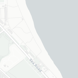
The nearest rail stations are North Shields (Tyne and Wear Metro Station) (Tube/Metro, about 3 minutes' walk away). There are also 52 bus stops within walking distance.
The location is in Flood Zone 1 (low risk — less than a 1 in 1,000 annual chance of river or sea flooding).
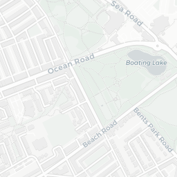
There are 19 green spaces within walking distance, totalling 16.8 hectares of parks and outdoor space. The nearest is St Cuthbert's Roman Catholic Church, within a short walk.
There are 28 supermarkets in the wider area, including Aldi, Heron, Iceland, Asda and others. The nearest is Aldi Hawkeys Lane North Shields, about 4 minutes' walk away. A public library is about 6 minutes' walk away.
Sources: DfE/Ofsted, UK Police API, NHS ODS, NaPTAN, Environment Agency, Ordnance Survey, Natural England, DEFRA, Geolytix and Arts Council England. For an interactive map view, explore NE29 0DB on NestScope.