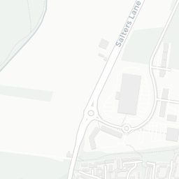
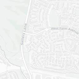
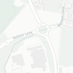
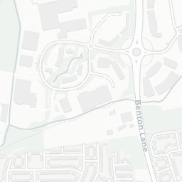
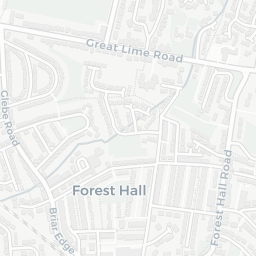
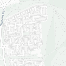
NestScope
NE12 8FD · Neighbourhood Report
© OpenStreetMap · © CARTO
Area Report
Last updated 15 JUN 2026

NE12 8FD

Neighbourhood Report

What's nearby — across walking, short-drive and school catchment distance. Data from official UK government sources.

NestScope Score
60/ 100

A mixed, mid-ranking neighbourhood

Anchored on official IMD data — decile 4/10, ranked 11,742 of 32,844 neighbourhoods in England.

How this score is calculated
01 — Snapshot

Around NE12 8FD.

The large figure is how many we found nearby; the chip beside each label is that category’s NestScope score out of 100 — higher beats more of the UK.

Safety62/100
6crimes last month

IMD crime decile 4/10 · 6 crimes in 400m last month (residential-weighted: 4.1)

Crimes reported last month · UK Police API

Healthcare74/100
29GP & hospitals

IMD health decile 3/10 · 28 GP, 1 hospital, 5 dentists, pharmacy 0.2 mi within 1.5 mi

Nearest GP: STEPHENSON PARK HEALTH GROUP — 0.3 mi

Transport74/100
Benton (Tyne and Wear Metro Station)0.5 mi

23 bus stops also within 0.5 miles

Green space76/100
7green spaces

IMD environment decile 10/10 · 9.8 ha total — no proper park nearby

Nearest: Park (1.6 ha) — 0.1 mi

Amenities87/100
18supermarkets

18 supermarkets within 2 mi — Sainsburys, Heron, Lidl, Aldi… — nearest 0.3 mi — library 0.3 mi

Nearest: Sainsburys Forest Hall Local — 0.3 mi

02 — Environment

Environment & risk near NE12 8FD.

Official risk flags for context — deliberately not part of the NestScope score (they’re categorical hazards, not amenities).

Flood risk
Zone 1 (low)

Flood Zone 1 — low risk (less than 1 in 1,000 annual chance) · Source: Environment Agency Flood Map for Planning

Zone 1
Zone 2
Zone 3
Air qualityLow
12µg/m³

NO₂ annual mean · WHO guideline 10 · UK limit 40 · Source: DEFRA UK-AIR 2024

<10
10–20
20–30
30–40
≥40
03 — House prices

Sold prices in NE12.

Average sold price by property type across the NE12 district, 202120263,266 sales.

£0£100k£200k£300k£400k202120222023202420252026
  • Detached
  • Semi-detached
  • Terraced
  • Flat
Detached£333k 7.3%
Semi-detached£201k 10.3%
Terraced£201k 28.6%
Flat£102k 4.1%

District-level averages (NE12) — broad enough to show a reliable trend. A single postcode usually sees too few sales to chart. Source: HM Land Registry Price Paid Data (Crown Copyright / OGL v3.0).

About NE12 8FD

NE12 8FD scores 60/100 on the NestScope Score, with its strongest showing in local amenities and green space — with Sainsburys Forest Hall Local about 5 minutes' walk away. The breakdown below draws on official UK data covering schools, safety, healthcare, transport, environment and local amenities.

In national context, NE12 8FD is a mixed, mid-ranking neighbourhood — IMD decile 4/10, ranked 11,742 of 32,844 neighbourhoods in England. The Index of Multiple Deprivation is the UK government's official measure of relative deprivation, refreshed roughly every five years. Housing pressure here is low (IMD housing decile 9/10).

There are 34 schools within the typical catchment area, including 3 rated Outstanding by Ofsted and 21 rated Good. The nearest school is Benton Dene School (Ofsted: Good), within a short walk.

There were 6 crimes reported on the surrounding streets in the most recent month, indicating a low level of immediate-area crime.

Healthcare access is good, with 28 GP surgeries, 1 hospital and 5 dental practices in the wider neighbourhood. The nearest GP practice is STEPHENSON PARK HEALTH GROUP, about 5 minutes' walk away. The nearest hospital is FREEMAN HOSPITAL, 1.4 mi away. A pharmacy is about 4 minutes' walk away.

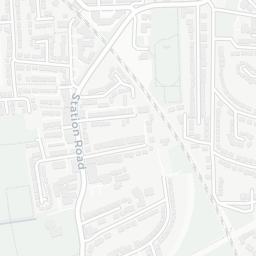
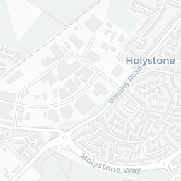
The nearest rail stations are Benton (Tyne and Wear Metro Station) (Tube/Metro, about 9 minutes' walk away). There are also 23 bus stops within walking distance.

The location is in Flood Zone 1 (low risk — less than a 1 in 1,000 annual chance of river or sea flooding).

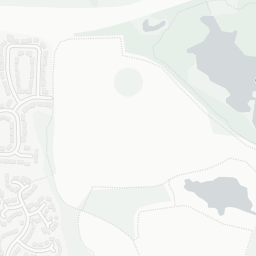
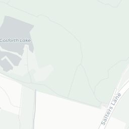
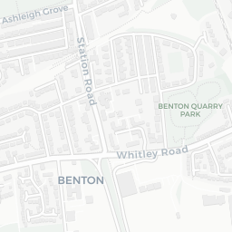
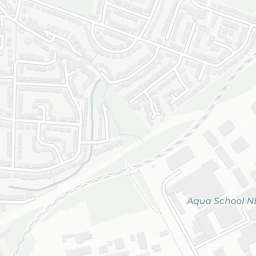
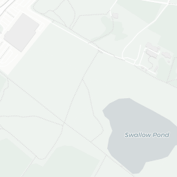
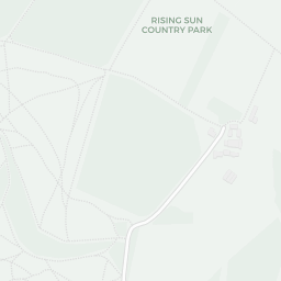
There are 7 green spaces within walking distance, totalling 9.8 hectares of parks and outdoor space. The nearest is Park (1.6 ha), about 2 minutes' walk away.

There are 18 supermarkets in the wider area, including Sainsburys, Heron, Lidl, Aldi and others. The nearest is Sainsburys Forest Hall Local, about 5 minutes' walk away. A public library is about 7 minutes' walk away.

Sources: DfE/Ofsted, UK Police API, NHS ODS, NaPTAN, Environment Agency, Ordnance Survey, Natural England, DEFRA, Geolytix and Arts Council England. For an interactive map view, explore NE12 8FD on NestScope.

Data: DfE/Ofsted · UK Police API · NHS ODS · NaPTAN · Ordnance Survey · Geolytix. Crown Copyright / OGL. Look up any postcode: nestscope.uk/area/YOUR+POSTCODE — e.g. SW1A 1AA, M1 1AE, BS1 1HT.