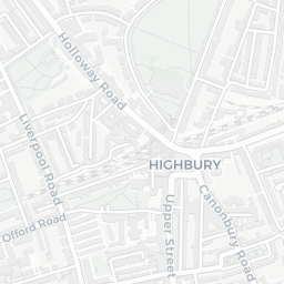
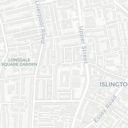
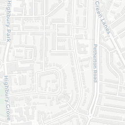
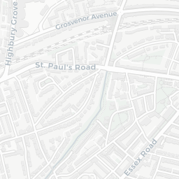
NestScope
N7 8RN · Neighbourhood Report
© OpenStreetMap · © CARTO
Area Report
Last updated 17 JUN 2026

N7 8RN

Neighbourhood Report

What's nearby — across walking, short-drive and school catchment distance. Data from official UK government sources.

NestScope Score
61/ 100

A mixed, mid-ranking neighbourhood

Anchored on official IMD data — decile 4/10, ranked 11,641 of 32,844 neighbourhoods in England.

How this score is calculated
01 — Snapshot

Around N7 8RN.

The large figure is how many we found nearby; the chip beside each label is that category’s NestScope score out of 100 — higher beats more of the UK.

Schools92/100
35Good/Outstanding within 1 mi

114 rated Good or better within 2 mi · 157 schools in total

Nearest top-rated: New River College Secondary (Good) — 0.0 mi

Safety40/100
77crimes last month

IMD crime decile 3/10 · 77 crimes in 400m last month (residential-weighted: 52)

Crimes reported last month · UK Police API

Healthcare77/100
63GP & hospitals

IMD health decile 4/10 · 60 GP, 3 hospitals, 48 dentists, pharmacy 0.2 mi within 1.5 mi

Nearest GP: ISLINGTON CENTRAL MEDICAL CENTRE — 0.3 mi

Transport82/100
Highbury & Islington Rail Station0.3 mi
Caledonian Road & Barnsbury Rail Station0.3 mi
Drayton Park Rail Station0.5 mi
Highbury & Islington Underground Station0.3 mi
Caledonian Road Underground Station0.4 mi

36 bus stops also within 0.5 miles

Green space55/100
38green spaces

IMD environment decile 2/10 · 12 ha total — no proper park nearby

Nearest: Playground (300 m²) — 0.1 mi

Amenities93/100
146supermarkets

146 supermarkets within 2 mi — Tesco, Waitrose, Sainsburys, Budgens… — nearest 0.3 mi — library 0.3 mi

Nearest: Tesco Highbury Express — 0.3 mi

02 — Environment

Environment & risk near N7 8RN.

Official risk flags for context — deliberately not part of the NestScope score (they’re categorical hazards, not amenities).

Flood risk
Zone 1 (low)

Flood Zone 1 — low risk (less than 1 in 1,000 annual chance) · Source: Environment Agency Flood Map for Planning

Zone 1
Zone 2
Zone 3
Air qualityModerate
23.7µg/m³

NO₂ annual mean · WHO guideline 10 · UK limit 40 · Source: DEFRA UK-AIR 2024

<10
10–20
20–30
30–40
≥40
Road noiseQuiet
53dB Lden

Road traffic, day-evening-night average · Source: DEFRA strategic noise mapping

<55
55–64
65–74
≥75
03 — House prices

Sold prices in N7.

Average sold price by property type across the N7 district, 202120262,372 sales.

£0£1M£2M£3M£4M202120222023202420252026
  • Detached
  • Semi-detached
  • Terraced
  • Flat
Detached
Semi-detached£1.7M 23.9%
Terraced£1.2M 8.7%
Flat£516k 0.2%

District-level averages (N7) — broad enough to show a reliable trend. A single postcode usually sees too few sales to chart. Source: HM Land Registry Price Paid Data (Crown Copyright / OGL v3.0).

About N7 8RN

N7 8RN scores 61/100 on the NestScope Score, with its strongest showing in local amenities and schools — with Tesco Highbury Express about 5 minutes' walk away. The main trade-off is its safety score. The breakdown below draws on official UK data covering schools, safety, healthcare, transport, environment and local amenities.

Explore area insights about nearby locations

Data: DfE/Ofsted · UK Police API · NHS ODS · NaPTAN · Ordnance Survey · Geolytix. Crown Copyright / OGL. Look up any postcode: nestscope.uk/area/YOUR+POSTCODE — e.g. SW1A 1AA, M1 1AE, BS1 1HT.