Area Report
Last updated 20 JUN 2026Neighbourhood Report
What's nearby — across walking, short-drive and school catchment distance. Data from official UK government sources.
01 — Snapshot
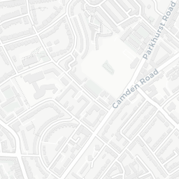
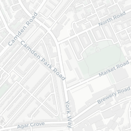
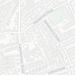
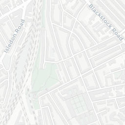
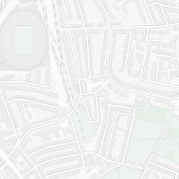
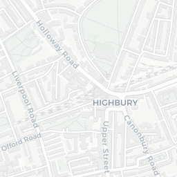
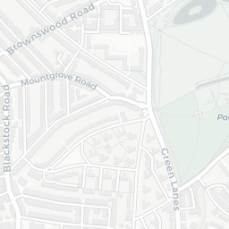
Around N5 2PP.
The large figure is how many we found nearby; the chip beside each label is that category’s NestScope score out of 100 — higher beats more of the UK.
26Good/Outstanding within 1 mi
111 rated Good or better within 2 mi · 171 schools in total
Nearest top-rated: St Joan of Arc RC Primary School (Good) — 0.2 mi
49crimes last month
IMD crime decile 2/10 · 49 crimes in 400m last month (residential-weighted: 35.5)
Crimes reported last month · UK Police API
45GP & hospitals
IMD health decile 6/10 · 44 GP, 1 hospital, 39 dentists, pharmacy 0.2 mi within 1.5 mi
Nearest GP: HIGHBURY GRANGE MEDICAL PRACTICE — 0.1 mi
Canonbury Rail Station0.4 mi
Drayton Park Rail Station0.4 mi
36 bus stops also within 0.5 miles
18green spaces
IMD environment decile 3/10 · 12.7 ha total — no proper park nearby
Nearest: Playground (300 m²) — 0.1 mi
120supermarkets
120 supermarkets within 2 mi — Tesco, Sainsburys, Waitrose, The Co-operative Group… — nearest 0.4 mi — library 0.6 mi
Nearest: Tesco Stoke Newington Green Lanes Express — 0.4 mi
02 — Environment
Environment & risk near N5 2PP.
Official risk flags for context — deliberately not part of the NestScope score (they’re categorical hazards, not amenities).
Flood risk
Zone 1 (low)
Flood Zone 1 — low risk (less than 1 in 1,000 annual chance) · Source: Environment Agency Flood Map for Planning
Air qualityModerate
21.8µg/m³
NO₂ annual mean · WHO guideline 10 · UK limit 40 · Source: DEFRA UK-AIR 2024
Road noiseQuiet
50dB Lden
Road traffic, day-evening-night average · Source: DEFRA strategic noise mapping
03 — House prices
Sold prices in N5.
Average sold price by property type across the N5 district, 2021–2026 — 1,703 sales.
About N5 2PP
N5 2PP scores 57/100 on the NestScope Score, with its strongest showing in local amenities and healthcare — with Tesco Stoke Newington Green Lanes Express about 7 minutes' walk away. The main trade-off is its safety score. The breakdown below draws on official UK data covering schools, safety, healthcare, transport, environment and local amenities.
In national context, N5 2PP is a mixed, mid-ranking neighbourhood — IMD decile 4/10, ranked 10,960 of 32,844 neighbourhoods in England. The Index of Multiple Deprivation is the UK government's official measure of relative deprivation, refreshed roughly every five years. Housing pressure here is high (IMD housing decile 4/10).
There are 171 schools within the typical catchment area, including 32 rated Outstanding by Ofsted and 79 rated Good. The nearest school is The London Screen Academy, within a short walk.
There were 49 crimes reported on the surrounding streets in the most recent month, indicating a elevated level of immediate-area crime.
Healthcare access is good, with 44 GP surgeries, 1 hospital and 39 dental practices in the wider neighbourhood. The nearest GP practice is HIGHBURY GRANGE MEDICAL PRACTICE, about 2 minutes' walk away. The nearest hospital is THE WHITTINGTON HOSPITAL AT NORTHERN HEALTH CENTRE, 1.3 mi away. A pharmacy is about 3 minutes' walk away.