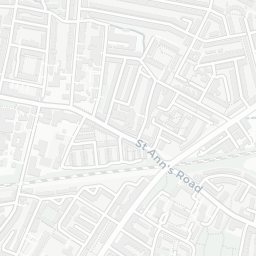
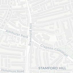
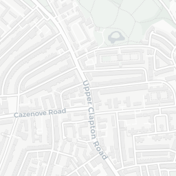
NestScope
N4 2LZ · Neighbourhood Report
© OpenStreetMap · © CARTO
Area Report
Last updated 15 JUN 2026

N4 2LZ

Neighbourhood Report

What's nearby — across walking, short-drive and school catchment distance. Data from official UK government sources.

NestScope Score
46/ 100

A more affordable, lower-income neighbourhood

Anchored on official IMD data — decile 1/10, ranked 2,578 of 32,844 neighbourhoods in England.

How this score is calculated
01 — Snapshot

Around N4 2LZ.

The large figure is how many we found nearby; the chip beside each label is that category’s NestScope score out of 100 — higher beats more of the UK.

Schools53/100
23Good/Outstanding within 1 mi

95 rated Good or better within 2 mi · 150 schools in total

Nearest top-rated: Woodberry Down Community Primary School (Good) — 0.2 mi

Safety35/100
45crimes last month

IMD crime decile 2/10 · 45 crimes in 400m last month (residential-weighted: 31.3)

Crimes reported last month · UK Police API

Healthcare78/100
38GP & hospitals

IMD health decile 4/10 · 37 GP, 1 hospital, 44 dentists, pharmacy 0.1 mi within 1.5 mi

Nearest GP: HAGA — 0.3 mi

Transport77/100
Manor House Underground Station0.3 mi

34 bus stops also within 0.5 miles

Green space50/100
22green spaces

IMD environment decile 1/10 · 6.4 ha total — no proper park nearby

Nearest: Playground (200 m²) — 0.1 mi

Amenities95/100
87supermarkets

87 supermarkets within 2 mi — Sainsburys, Tesco, The Co-operative Group, Aldi… — nearest 0.0 mi — library 0.1 mi

Nearest: Sainsburys Hackney Woodberry Down Local — 0.0 mi

02 — Environment

Environment & risk near N4 2LZ.

Official risk flags for context — deliberately not part of the NestScope score (they’re categorical hazards, not amenities).

Flood risk
Zone 1 (low)

Flood Zone 1 — low risk (less than 1 in 1,000 annual chance) · Source: Environment Agency Flood Map for Planning

Zone 1
Zone 2
Zone 3
Air qualityModerate
20.2µg/m³

NO₂ annual mean · WHO guideline 10 · UK limit 40 · Source: DEFRA UK-AIR 2024

<10
10–20
20–30
30–40
≥40
Road noiseModerate
64dB Lden

Road traffic, day-evening-night average · Source: DEFRA strategic noise mapping

<55
55–64
65–74
≥75
03 — House prices

Sold prices in N4.

Average sold price by property type across the N4 district, 202120264,065 sales.

£0£1M£2M£3M202120222023202420252026
  • Detached
  • Semi-detached
  • Terraced
  • Flat
Detached
Semi-detached£1.5M 5.6%
Terraced£876k 12.9%
Flat£567k 5.2%

District-level averages (N4) — broad enough to show a reliable trend. A single postcode usually sees too few sales to chart. Source: HM Land Registry Price Paid Data (Crown Copyright / OGL v3.0).

About N4 2LZ

N4 2LZ scores 46/100 on the NestScope Score, with its strongest showing in local amenities and healthcare — with Sainsburys Hackney Woodberry Down Local within a short walk. The main trade-off is its safety score. The breakdown below draws on official UK data covering schools, safety, healthcare, transport, environment and local amenities.

In national context, N4 2LZ is a more affordable, lower-income neighbourhood — IMD decile 1/10, ranked 2,578 of 32,844 neighbourhoods in England. The Index of Multiple Deprivation is the UK government's official measure of relative deprivation, refreshed roughly every five years. Housing pressure here is high (IMD housing decile 1/10).

There are 150 schools within the typical catchment area, including 25 rated Outstanding by Ofsted and 70 rated Good. The nearest school is Beis Chinuch Lebonos Girls School, within a short walk.

There were 45 crimes reported on the surrounding streets in the most recent month, indicating a elevated level of immediate-area crime.

Healthcare access is good, with 37 GP surgeries, 1 hospital and 44 dental practices in the wider neighbourhood. The nearest GP practice is HAGA, about 5 minutes' walk away. The nearest hospital is ST. ANN'S HOSPITAL, about 12 minutes' walk away. A pharmacy is within a short walk.

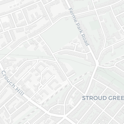
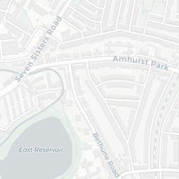
The nearest rail stations are Manor House Underground Station (Tube/Metro, about 6 minutes' walk away), Manor House Underground Station (Tube/Metro, about 6 minutes' walk away). There are also 34 bus stops within walking distance.

The location is in Flood Zone 1 (low risk — less than a 1 in 1,000 annual chance of river or sea flooding). road traffic noise is moderate (about 64 dB Lden).

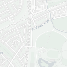
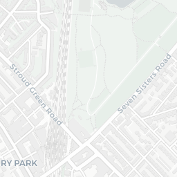
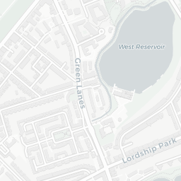
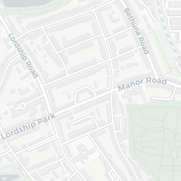
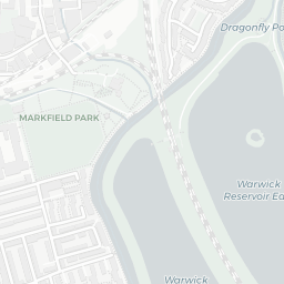
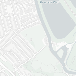
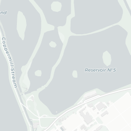
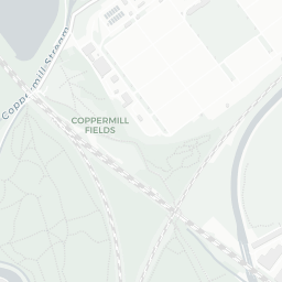
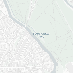
There are 22 green spaces within walking distance, totalling 6.4 hectares of parks and outdoor space. The nearest is Playground (200 m²), about 2 minutes' walk away. It also lies just beside a nature reserve (about 11 minutes' walk away), adding open countryside that isn't recorded as a formal park.

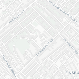
There are 87 supermarkets in the wider area, including Sainsburys, Tesco, The Co-operative Group, Aldi and others. The nearest is Sainsburys Hackney Woodberry Down Local, within a short walk. A public library is within a short walk.

Sources: DfE/Ofsted, UK Police API, NHS ODS, NaPTAN, Environment Agency, Ordnance Survey, Natural England, DEFRA, Geolytix and Arts Council England. For an interactive map view, explore N4 2LZ on NestScope.

Explore area insights about nearby locations

Data: DfE/Ofsted · UK Police API · NHS ODS · NaPTAN · Ordnance Survey · Geolytix. Crown Copyright / OGL. Look up any postcode: nestscope.uk/area/YOUR+POSTCODE — e.g. SW1A 1AA, M1 1AE, BS1 1HT.