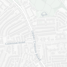
NestScope
N4 1QP · Neighbourhood Report
© OpenStreetMap · © CARTO
Area Report
Last updated 12 JUN 2026

N4 1QP

Neighbourhood Report

What's nearby — across walking, short-drive and school catchment distance. Data from official UK government sources.

NestScope Score
45/ 100

A more affordable, lower-income neighbourhood

Anchored on official IMD data — decile 1/10, ranked 2,413 of 32,844 neighbourhoods in England.

How this score is calculated
01 — Snapshot

Around N4 1QP.

The large figure is how many we found nearby; the chip beside each label is that category’s NestScope score out of 100 — higher beats more of the UK.

Schools59/100
20Good/Outstanding within 1 mi

91 rated Good or better within 2 mi · 147 schools in total

Nearest top-rated: Woodberry Down Community Primary School (Good) — 0.1 mi

Safety24/100

IMD crime decile 1/10 · live count unavailable

Data temporarily unavailable

Healthcare78/100
42GP & hospitals

IMD health decile 4/10 · 41 GP, 1 hospital, 42 dentists, pharmacy 0.0 mi within 1.5 mi

Nearest GP: HAGA — 0.3 mi

Transport77/100
Harringay Green Lanes Rail Station0.4 mi
Manor House Underground Station0.2 mi
Manor House Underground Station0.3 mi

32 bus stops also within 0.5 miles

Green space61/100
26green spaces

IMD environment decile 1/10 · 54.6 ha total — no proper park nearby

Nearest: Skinners' Academy Sports Centre — 0.1 mi

Amenities95/100
89supermarkets

89 supermarkets within 2 mi — Sainsburys, Tesco, The Co-operative Group, Aldi… — nearest 0.1 mi — library 0.1 mi

Nearest: Sainsburys Hackney Woodberry Down Local — 0.1 mi

02 — Environment

Environment & risk near N4 1QP.

Official risk flags for context — deliberately not part of the NestScope score (they’re categorical hazards, not amenities).

Flood risk
Zone 1 (low)

Flood Zone 1 — low risk (less than 1 in 1,000 annual chance) · Source: Environment Agency Flood Map for Planning

Zone 1
Zone 2
Zone 3
Air qualityModerate
20.2µg/m³

NO₂ annual mean · WHO guideline 10 · UK limit 40 · Source: DEFRA UK-AIR 2024

<10
10–20
20–30
30–40
≥40
03 — House prices

Sold prices in N4.

Average sold price by property type across the N4 district, 202120264,065 sales.

£0£1M£2M£3M202120222023202420252026
  • Detached
  • Semi-detached
  • Terraced
  • Flat
Detached
Semi-detached£1.5M 5.6%
Terraced£876k 12.9%
Flat£567k 5.2%

District-level averages (N4) — broad enough to show a reliable trend. A single postcode usually sees too few sales to chart. Source: HM Land Registry Price Paid Data (Crown Copyright / OGL v3.0).

About N4 1QP

N4 1QP scores 45/100 on the NestScope Score, with its strongest showing in local amenities and healthcare — with Sainsburys Hackney Woodberry Down Local about 2 minutes' walk away. The main trade-off is its safety score. The breakdown below draws on official UK data covering schools, safety, healthcare, transport, environment and local amenities.

In national context, N4 1QP is a more affordable, lower-income neighbourhood — IMD decile 1/10, ranked 2,413 of 32,844 neighbourhoods in England. The Index of Multiple Deprivation is the UK government's official measure of relative deprivation, refreshed roughly every five years. Housing pressure here is high (IMD housing decile 1/10).

There are 147 schools within the typical catchment area, including 24 rated Outstanding by Ofsted and 67 rated Good. The nearest school is Woodberry Down Community Primary School (Ofsted: Good), within a short walk.

Healthcare access is good, with 41 GP surgeries, 1 hospital and 42 dental practices in the wider neighbourhood. The nearest GP practice is HAGA, about 5 minutes' walk away. The nearest hospital is ST. ANN'S HOSPITAL, about 11 minutes' walk away. A pharmacy is within a short walk.

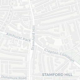
The nearest rail stations are Harringay Green Lanes Rail Station (Train, about 9 minutes' walk away), Manor House Underground Station (Tube/Metro, about 5 minutes' walk away), Manor House Underground Station (Tube/Metro, about 5 minutes' walk away). There are also 32 bus stops within walking distance.

The location is in Flood Zone 1 (low risk — less than a 1 in 1,000 annual chance of river or sea flooding).

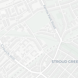
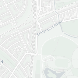
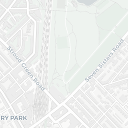
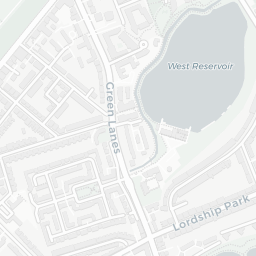
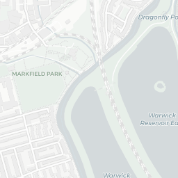
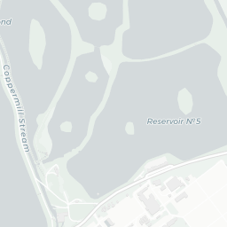
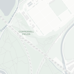
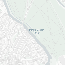
There are 26 green spaces within walking distance, totalling 54.6 hectares of parks and outdoor space. The nearest is Skinners' Academy Sports Centre, about 2 minutes' walk away. It also lies just beside a nature reserve (about 9 minutes' walk away), adding open countryside that isn't recorded as a formal park.

There are 89 supermarkets in the wider area, including Sainsburys, Tesco, The Co-operative Group, Aldi and others. The nearest is Sainsburys Hackney Woodberry Down Local, about 2 minutes' walk away. A public library is about 3 minutes' walk away.

Sources: DfE/Ofsted, UK Police API, NHS ODS, NaPTAN, Environment Agency, Ordnance Survey, Natural England, DEFRA, Geolytix and Arts Council England. For an interactive map view, explore N4 1QP on NestScope.

Explore area insights about nearby locations

Data: DfE/Ofsted · UK Police API · NHS ODS · NaPTAN · Ordnance Survey · Geolytix. Crown Copyright / OGL. Look up any postcode: nestscope.uk/area/YOUR+POSTCODE — e.g. SW1A 1AA, M1 1AE, BS1 1HT.

NestScope

All data from publicly available UK government sources. Each dimension uses a category-appropriate radius (walking distance for crime and transport, school catchment, drive distance for healthcare). IMD context is the latest published English Indices of Deprivation (2019). This report is for informational purposes only.