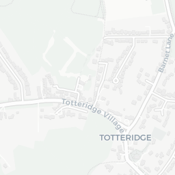
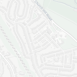
NestScope
N20 9DX · Neighbourhood Report
© OpenStreetMap · © CARTO
Area Report
Last updated 12 JUN 2026

N20 9DX

Neighbourhood Report

What's nearby — across walking, short-drive and school catchment distance. Data from official UK government sources.

NestScope Score
74/ 100

A well-off neighbourhood

Anchored on official IMD data — decile 7/10, ranked 19,790 of 32,844 neighbourhoods in England.

How this score is calculated
01 — Snapshot

Around N20 9DX.

The large figure is how many we found nearby; the chip beside each label is that category’s NestScope score out of 100 — higher beats more of the UK.

Schools86/100
14Good/Outstanding within 1 mi

51 rated Good or better within 2 mi · 65 schools in total

Nearest top-rated: Pavilion Study Centre (Good) — 0.1 mi

Safety59/100
21crimes last month

IMD crime decile 6/10 · 21 crimes in 400m last month (residential-weighted: 14.8)

Crimes reported last month · UK Police API

Healthcare86/100
24GP & hospitals

IMD health decile 9/10 · 24 GP, 26 dentists, pharmacy 0.3 mi within 1.5 mi

Nearest GP: OAKLEIGH ROAD HEALTH CENTRE — 0.3 mi

Transport83/100
Oakleigh Park Rail Station0.4 mi
Totteridge & Whetstone Underground Station0.4 mi

32 bus stops also within 0.5 miles

Green space80/100
18green spaces

IMD environment decile 5/10 · 42.7 ha total — largest park 28.4 ha (0.13 mi away)

Nearest: Park (900 m²) — 0.1 mi

Amenities89/100
27supermarkets

27 supermarkets within 2 mi — Marks and Spencer, Waitrose, Asda, The Co-operative Group… — nearest 0.1 mi — library 1.1 mi

Nearest: M&S Whetstone SF — 0.1 mi

02 — Environment

Environment & risk near N20 9DX.

Official risk flags for context — deliberately not part of the NestScope score (they’re categorical hazards, not amenities).

Flood risk
Zone 1 (low)

Flood Zone 1 — low risk (less than 1 in 1,000 annual chance) · Source: Environment Agency Flood Map for Planning

Zone 1
Zone 2
Zone 3
Air qualityLow
14.8µg/m³

NO₂ annual mean · WHO guideline 10 · UK limit 40 · Source: DEFRA UK-AIR 2024

<10
10–20
20–30
30–40
≥40
03 — House prices

Sold prices in N20.

Average sold price by property type across the N20 district, 202120261,618 sales.

£0£1M£2M£3M202120222023202420252026
  • Detached
  • Semi-detached
  • Terraced
  • Flat
Detached£1.6M 10.6%
Semi-detached£815k 13.5%
Terraced£690k 5.2%
Flat£423k 9.7%

District-level averages (N20) — broad enough to show a reliable trend. A single postcode usually sees too few sales to chart. Source: HM Land Registry Price Paid Data (Crown Copyright / OGL v3.0).

About N20 9DX

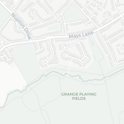
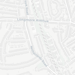
N20 9DX scores 74/100 on the NestScope Score, with its strongest showing in local amenities and schools — with M&S Whetstone SF about 3 minutes' walk away. The breakdown below draws on official UK data covering schools, safety, healthcare, transport, environment and local amenities.

In national context, N20 9DX is a well-off neighbourhood — IMD decile 7/10, ranked 19,790 of 32,844 neighbourhoods in England. The Index of Multiple Deprivation is the UK government's official measure of relative deprivation, refreshed roughly every five years. Housing pressure here is high (IMD housing decile 4/10).

There are 65 schools within the typical catchment area, including 10 rated Outstanding by Ofsted and 41 rated Good. The nearest school is Pavilion Study Centre (Ofsted: Good), about 3 minutes' walk away.

There were 21 crimes reported on the surrounding streets in the most recent month, indicating a moderate level of immediate-area crime.

Healthcare access is good, with 24 GP surgeries and 26 dental practices in the wider neighbourhood. The nearest GP practice is OAKLEIGH ROAD HEALTH CENTRE, about 5 minutes' walk away. A pharmacy is about 5 minutes' walk away.

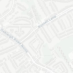
The nearest rail stations are Oakleigh Park Rail Station (Train, about 8 minutes' walk away), Totteridge & Whetstone Underground Station (Tube/Metro, about 7 minutes' walk away). There are also 32 bus stops within walking distance.

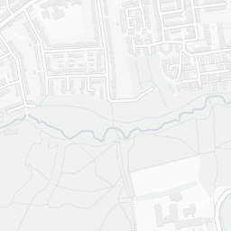
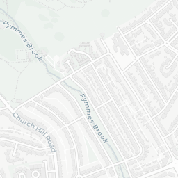
The location is in Flood Zone 1 (low risk — less than a 1 in 1,000 annual chance of river or sea flooding).

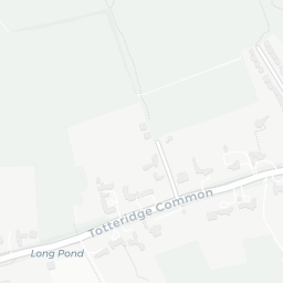
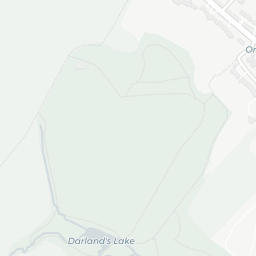
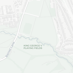
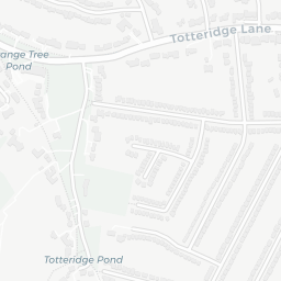
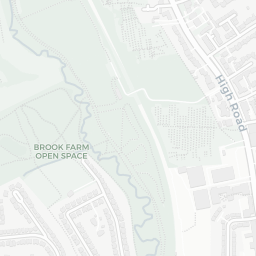
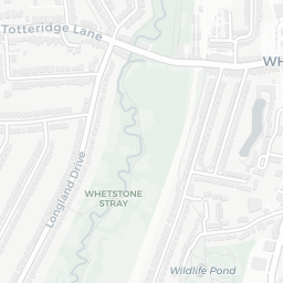
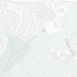
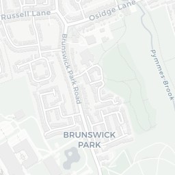
There are 18 green spaces within walking distance, totalling 42.7 hectares of parks and outdoor space. The nearest is Park (900 m²), about 2 minutes' walk away. It also lies just beside a open access land (about 9 minutes' walk away), adding open countryside that isn't recorded as a formal park.

There are 27 supermarkets in the wider area, including Marks and Spencer, Waitrose, Asda, The Co-operative Group and others. The nearest is M&S Whetstone SF, about 3 minutes' walk away. A public library is 1.1 mi away.

Sources: DfE/Ofsted, UK Police API, NHS ODS, NaPTAN, Environment Agency, Ordnance Survey, Natural England, DEFRA, Geolytix and Arts Council England. For an interactive map view, explore N20 9DX on NestScope.

Explore area insights about nearby locations

Data: DfE/Ofsted · UK Police API · NHS ODS · NaPTAN · Ordnance Survey · Geolytix. Crown Copyright / OGL. Look up any postcode: nestscope.uk/area/YOUR+POSTCODE — e.g. SW1A 1AA, M1 1AE, BS1 1HT.

NestScope

All data from publicly available UK government sources. Each dimension uses a category-appropriate radius (walking distance for crime and transport, school catchment, drive distance for healthcare). IMD context is the latest published English Indices of Deprivation (2019). This report is for informational purposes only.