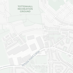
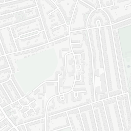
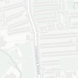
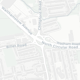
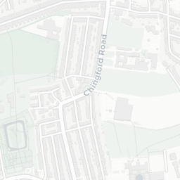
About N17 9XT
N17 9XT scores 50/100 on the NestScope Score, with its strongest showing in local amenities and healthcare — with Tesco Park Lane Tottenham Exp about 6 minutes' walk away. The main trade-off is its safety score. The breakdown below draws on official UK data covering schools, safety, healthcare, transport, environment and local amenities.
In national context, N17 9XT is a more affordable, lower-income neighbourhood — IMD decile 2/10, ranked 6,284 of 32,844 neighbourhoods in England. The Index of Multiple Deprivation is the UK government's official measure of relative deprivation, refreshed roughly every five years. Housing pressure here is high (IMD housing decile 1/10).
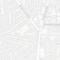
There are 108 schools within the typical catchment area, including 16 rated Outstanding by Ofsted and 56 rated Good. The nearest school is Harris Primary Academy Coleraine Park, within a short walk.
There were 47 crimes reported on the surrounding streets in the most recent month, indicating a elevated level of immediate-area crime.
Healthcare access is good, with 20 GP surgeries, 1 hospital and 21 dental practices in the wider neighbourhood. The nearest GP practice is HAGA ALCOHOL TREATMENT SERVICE HARINGEY, about 6 minutes' walk away. The nearest hospital is NORTH MIDDLESEX HOSPITAL, 1.2 mi away. A pharmacy is about 8 minutes' walk away.
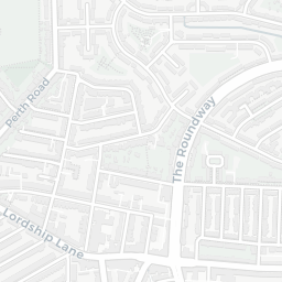
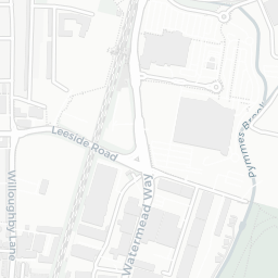
The nearest rail stations are Northumberland Park Rail Station (Train, about 6 minutes' walk away). There are also 27 bus stops within walking distance.
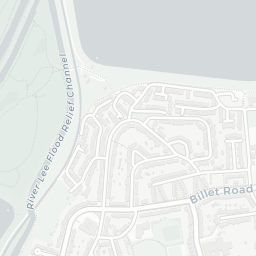
The location sits in Flood Zone 2 (medium risk — between a 1 in 100 and 1 in 1,000 annual chance), which may affect insurance and mortgage availability. road traffic noise is low (about 51 dB Lden).
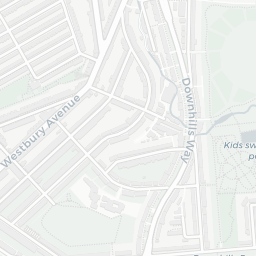
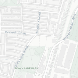
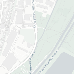
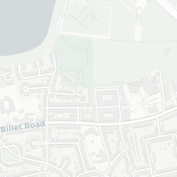
There are 20 green spaces within walking distance, totalling 25.2 hectares of parks and outdoor space. The nearest is Clendish Marsh, about 5 minutes' walk away.
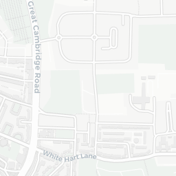
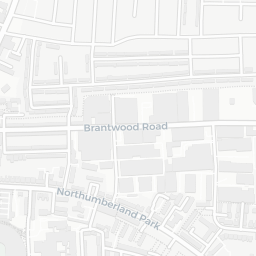
There are 43 supermarkets in the wider area, including Tesco, Sainsburys, Aldi, Asda and others. The nearest is Tesco Park Lane Tottenham Exp, about 6 minutes' walk away. A public library is about 11 minutes' walk away.
Sources: DfE/Ofsted, UK Police API, NHS ODS, NaPTAN, Environment Agency, Ordnance Survey, Natural England, DEFRA, Geolytix and Arts Council England. For an interactive map view, explore N17 9XT on NestScope.