NestScope
M7 2EA · Neighbourhood Report
© OpenStreetMap · © CARTO
Area Report
Last updated 16 JUN 2026

M7 2EA

Neighbourhood Report

What's nearby — across walking, short-drive and school catchment distance. Data from official UK government sources.

NestScope Score
49/ 100

A more affordable, lower-income neighbourhood

Anchored on official IMD data — decile 1/10, ranked 2,285 of 32,844 neighbourhoods in England.

How this score is calculated
01 — Snapshot

Around M7 2EA.

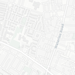
The large figure is how many we found nearby; the chip beside each label is that category’s NestScope score out of 100 — higher beats more of the UK.

Schools48/100
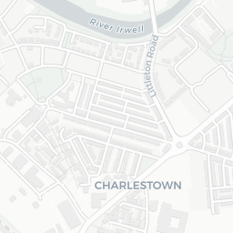
12Good/Outstanding within 1 mi

41 rated Good or better within 2 mi · 87 schools in total

Nearest top-rated: Broughton Jewish Cassel Fox Primary School (Good) — 0.4 mi
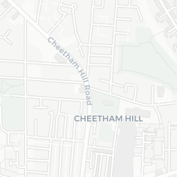
Safety62/100
0crimes last month

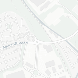
IMD crime decile 3/10 · no crimes in 400m last month

Crimes reported last month · UK Police API
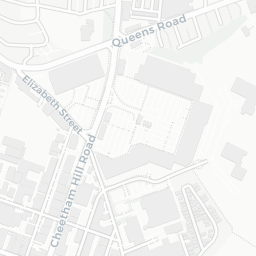
Healthcare65/100
21GP & hospitals

IMD health decile 1/10 · 21 GP, 18 dentists, pharmacy 0.2 mi within 1.5 mi

Nearest GP: PES@ THE EYESITE, SALFORD — 0.1 mi
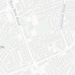
Transport60/100

No rail stations within 0.5 miles · 34 bus stops nearby
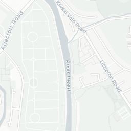
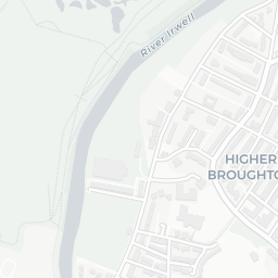
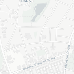
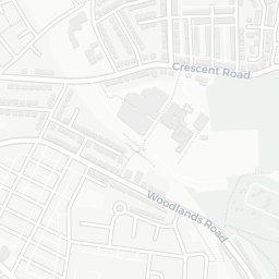
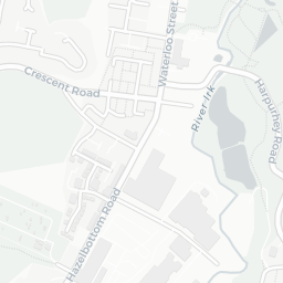
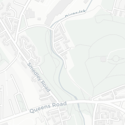
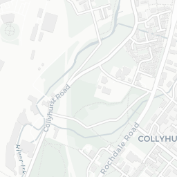
Green space68/100
20green spaces

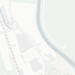
IMD environment decile 2/10 · 49.6 ha total — largest park 25.9 ha (0.31 mi away)

Nearest: St John's Church — 0.1 mi

Amenities88/100
54supermarkets

54 supermarkets within 2 mi — Asda, Spar, Lidl, Iceland… — nearest 0.3 mi — library 0.1 mi

Nearest: Asda Higher Broughton Supermarket — 0.3 mi

02 — Environment

Environment & risk near M7 2EA.

Official risk flags for context — deliberately not part of the NestScope score (they’re categorical hazards, not amenities).

Flood risk
Zone 1 (low)

Flood Zone 1 — low risk (less than 1 in 1,000 annual chance) · Source: Environment Agency Flood Map for Planning

Zone 1
Zone 2
Zone 3
Air qualityLow
15.3µg/m³

NO₂ annual mean · WHO guideline 10 · UK limit 40 · Source: DEFRA UK-AIR 2024

<10
10–20
20–30
30–40
≥40
Road noiseQuiet
54dB Lden

Road traffic, day-evening-night average · Source: DEFRA strategic noise mapping

<55
55–64
65–74
≥75
03 — House prices

Sold prices in M7.

Average sold price by property type across the M7 district, 202120261,698 sales.

£0£200k£400k£600k202120222023202420252026
  • Detached
  • Semi-detached
  • Terraced
  • Flat
Detached£449k 4.4%
Semi-detached£298k 6.7%
Terraced£266k 14.6%
Flat£153k 6.9%

District-level averages (M7) — broad enough to show a reliable trend. A single postcode usually sees too few sales to chart. Source: HM Land Registry Price Paid Data (Crown Copyright / OGL v3.0).

About M7 2EA

M7 2EA scores 49/100 on the NestScope Score, with its strongest showing in local amenities and green space — with Asda Higher Broughton Supermarket about 7 minutes' walk away. The breakdown below draws on official UK data covering schools, safety, healthcare, transport, environment and local amenities.

Explore area insights about nearby locations

Data: DfE/Ofsted · UK Police API · NHS ODS · NaPTAN · Ordnance Survey · Geolytix. Crown Copyright / OGL. Look up any postcode: nestscope.uk/area/YOUR+POSTCODE — e.g. SW1A 1AA, M1 1AE, BS1 1HT.