NestScope
M60 0AS · Neighbourhood Report
© OpenStreetMap · © CARTO
Area Report
Last updated 17 JUN 2026

M60 0AS

Neighbourhood Report

What's nearby — across walking, short-drive and school catchment distance. Data from official UK government sources.

NestScope Score
65/ 100

A mixed, mid-ranking neighbourhood

Anchored on official IMD data — decile 4/10, ranked 9,919 of 32,844 neighbourhoods in England.

How this score is calculated
01 — Snapshot

Around M60 0AS.

The large figure is how many we found nearby; the chip beside each label is that category’s NestScope score out of 100 — higher beats more of the UK.

Schools74/100
8Good/Outstanding within 1 mi

44 rated Good or better within 2 mi · 94 schools in total

Nearest top-rated: Abbott Community Primary School (Outstanding) — 0.6 mi

Safety53/100
0crimes last month

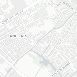
IMD crime decile 1/10 · no crimes in 400m last month

Crimes reported last month · UK Police API

Healthcare72/100
39GP & hospitals

IMD health decile 2/10 · 37 GP, 2 hospitals, 23 dentists, pharmacy 0.3 mi within 1.5 mi

Nearest GP: TURNING POINT SMITHFIELD SERVICE — 0.3 mi
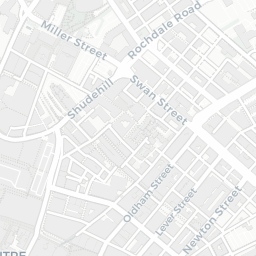
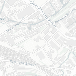
Transport96/100
Manchester Victoria Rail Station0.1 mi
Shudehill (Manchester Metrolink)0.1 mi
Victoria (Manchester Metrolink)0.1 mi

61 bus stops also within 0.5 miles
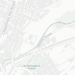
Green space47/100
8green spaces

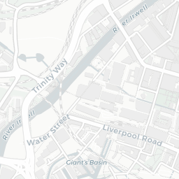
IMD environment decile 1/10 · 3.7 ha total — no proper park nearby

Nearest: The Cathedral Church of St Mary St George and St Denys — 0.2 mi

Amenities92/100
87supermarkets

87 supermarkets within 2 mi — The Co-operative Group, Spar, Aldi, Marks and Spencer… — nearest 0.1 mi — library 0.6 mi

Nearest: Co-op Balloon Street Manchester — 0.1 mi

02 — Environment

Environment & risk near M60 0AS.

Official risk flags for context — deliberately not part of the NestScope score (they’re categorical hazards, not amenities).

Flood risk
Zone 1 (low)

Flood Zone 1 — low risk (less than 1 in 1,000 annual chance) · Source: Environment Agency Flood Map for Planning

Zone 1
Zone 2
Zone 3
Air qualityModerate
22µg/m³

NO₂ annual mean · WHO guideline 10 · UK limit 40 · Source: DEFRA UK-AIR 2024

<10
10–20
20–30
30–40
≥40
Road noiseModerate
57dB Lden

Road traffic, day-evening-night average · Source: DEFRA strategic noise mapping

<55
55–64
65–74
≥75
Rail noiseQuiet
45dB Lden

Railways, day-evening-night average · Source: DEFRA strategic noise mapping

<55
55–64
65–74
≥75

About M60 0AS

M60 0AS scores 65/100 on the NestScope Score, with its strongest showing in transport and local amenities — with Manchester Victoria Rail Station about 3 minutes' walk away. The breakdown below draws on official UK data covering schools, safety, healthcare, transport, environment and local amenities.

Explore area insights about nearby locations

Data: DfE/Ofsted · UK Police API · NHS ODS · NaPTAN · Ordnance Survey · Geolytix. Crown Copyright / OGL. Look up any postcode: nestscope.uk/area/YOUR+POSTCODE — e.g. SW1A 1AA, M1 1AE, BS1 1HT.