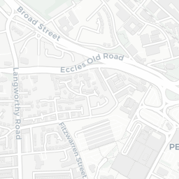

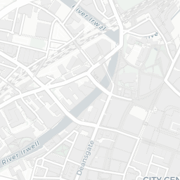
About M3 7EU
M3 7EU scores 74/100 on the NestScope Score, with its strongest showing in schools and local amenities — with The Friars Primary School within a short walk. The breakdown below draws on official UK data covering schools, safety, healthcare, transport, environment and local amenities.
In national context, M3 7EU is an above-average neighbourhood — IMD decile 6/10, ranked 19,277 of 32,844 neighbourhoods in England. The Index of Multiple Deprivation is the UK government's official measure of relative deprivation, refreshed roughly every five years. Housing pressure here is moderate (IMD housing decile 6/10).
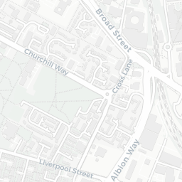
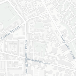
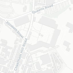
There are 98 schools within the typical catchment area, including 5 rated Outstanding by Ofsted and 34 rated Good. The nearest school is The Friars Primary School (Ofsted: Good), within a short walk.
No crimes were reported on the surrounding streets in the most recent month, consistent with a very low local crime profile.
Healthcare access is good, with 38 GP surgeries, 1 hospital and 24 dental practices in the wider neighbourhood. The nearest GP practice is DR A CHAUDHRY & DR I JEET, about 5 minutes' walk away. The nearest hospital is NHS NIGHTINGALE HOSPITAL NORTH WEST, 1.0 mi away. A pharmacy is about 3 minutes' walk away.
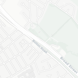
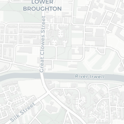
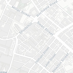
The nearest rail stations are Salford Central Rail Station (Train, about 9 minutes' walk away). There are also 29 bus stops within walking distance.
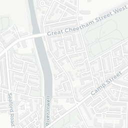
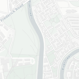
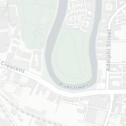
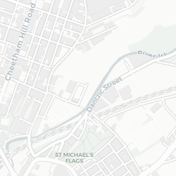
The location sits in Flood Zone 2 (medium risk — between a 1 in 100 and 1 in 1,000 annual chance), which may affect insurance and mortgage availability. road traffic noise is moderate (about 61 dB Lden).
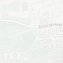
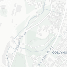
There are 23 green spaces within walking distance, totalling 24.9 hectares of parks and outdoor space. The nearest is Park (1.4 ha), within a short walk.
There are 89 supermarkets in the wider area, including Lidl, Sainsburys, Asda, The Co-operative Group and others. The nearest is Lidl Mocha Parade, about 4 minutes' walk away. A public library is about 12 minutes' walk away.
Sources: DfE/Ofsted, UK Police API, NHS ODS, NaPTAN, Environment Agency, Ordnance Survey, Natural England, DEFRA, Geolytix and Arts Council England. For an interactive map view, explore M3 7EU on NestScope.