


About M3 4LU
M3 4LU scores 57/100 on the NestScope Score, with its strongest showing in transport and local amenities — with Deansgate Rail Station within a short walk. The main trade-off is its safety score. The breakdown below draws on official UK data covering schools, safety, healthcare, transport, environment and local amenities.
In national context, M3 4LU is a mixed, mid-ranking neighbourhood — IMD decile 3/10, ranked 8,808 of 32,844 neighbourhoods in England. The Index of Multiple Deprivation is the UK government's official measure of relative deprivation, refreshed roughly every five years. Housing pressure here is high (IMD housing decile 1/10).
There are 74 schools within the typical catchment area, including 6 rated Outstanding by Ofsted and 33 rated Good. The nearest school is Crown Street Primary School, about 7 minutes' walk away.
Healthcare access is good, with 34 GP surgeries, 4 hospitals and 24 dental practices in the wider neighbourhood. The nearest GP practice is PRIMARY CARE URGENT EYE SERVICE, about 8 minutes' walk away. The nearest hospital is NHS NIGHTINGALE HOSPITAL NORTH WEST, about 3 minutes' walk away. A pharmacy is about 6 minutes' walk away.
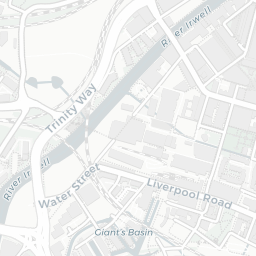
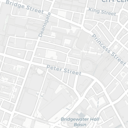
The nearest rail stations are Deansgate Rail Station (Train, within a short walk), Manchester Oxford Road Rail Station (Train, about 7 minutes' walk away), Deansgate-Castlefield (Manchester Metrolink) (Tube/Metro, within a short walk), St Peter's Square (Manchester Metrolink) (Tube/Metro, about 7 minutes' walk away). There are also 56 bus stops within walking distance.
The location is in Flood Zone 1 (low risk — less than a 1 in 1,000 annual chance of river or sea flooding).
There are 7 green spaces within walking distance, totalling 5.1 hectares of parks and outdoor space. The nearest is St John's Gardens, about 4 minutes' walk away.
There are 102 supermarkets in the wider area, including Sainsburys, Tesco, Marks and Spencer, The Co-operative Group and others. The nearest is Sainsburys Deansgate, within a short walk. A public library is about 6 minutes' walk away.
Sources: DfE/Ofsted, UK Police API, NHS ODS, NaPTAN, Environment Agency, Ordnance Survey, Natural England, DEFRA, Geolytix and Arts Council England. For an interactive map view, explore M3 4LU on NestScope.