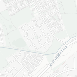
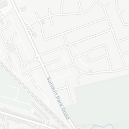
NestScope
LU4 9HT · Neighbourhood Report
© OpenStreetMap · © CARTO
Area Report
Last updated 13 JUN 2026

LU4 9HT

Neighbourhood Report

What's nearby — across walking, short-drive and school catchment distance. Data from official UK government sources.

NestScope Score
56/ 100

A mixed, mid-ranking neighbourhood

Anchored on official IMD data — decile 4/10, ranked 10,766 of 32,844 neighbourhoods in England.

How this score is calculated
01 — Snapshot

Around LU4 9HT.

The large figure is how many we found nearby; the chip beside each label is that category’s NestScope score out of 100 — higher beats more of the UK.

Schools58/100
15Good/Outstanding within 1 mi

36 rated Good or better within 2 mi · 51 schools in total

Nearest top-rated: The Gill Blowers Nursery School (Good) — 0.1 mi

Safety40/100
25crimes last month

IMD crime decile 2/10 · 25 crimes in 400m last month (residential-weighted: 18.7)

Crimes reported last month · UK Police API

Healthcare78/100
21GP & hospitals

IMD health decile 4/10 · 20 GP, 1 hospital, 12 dentists, pharmacy 0.2 mi within 1.5 mi

Nearest GP: DRS MIRZA SUKHANI & PARTNERS — 0.2 mi

Transport79/100
Leagrave Rail Station0.4 mi

49 bus stops also within 0.5 miles

Green space76/100
16green spaces

IMD environment decile 6/10 · 47.1 ha total — largest park 16.8 ha (0.42 mi away)

Nearest: Park (0.95 ha) — 0.1 mi

Amenities77/100
25supermarkets

25 supermarkets within 2 mi — Tesco, Iceland, Lidl, Aldi… — nearest 0.6 mi — library 0.1 mi

Nearest: Tesco Sundon Park Express — 0.6 mi

02 — Environment

Environment & risk near LU4 9HT.

Official risk flags for context — deliberately not part of the NestScope score (they’re categorical hazards, not amenities).

Flood risk
Zone 2 (medium)

Flood Zone 2 — medium risk (1 in 100 to 1 in 1,000) · Source: Environment Agency Flood Map for Planning

Zone 1
Zone 2
Zone 3
Air qualityLow
11µg/m³

NO₂ annual mean · WHO guideline 10 · UK limit 40 · Source: DEFRA UK-AIR 2024

<10
10–20
20–30
30–40
≥40
03 — House prices

Sold prices in LU4.

Average sold price by property type across the LU4 district, 202120262,400 sales.

£0£200k£400k£600k202120222023202420252026
  • Detached
  • Semi-detached
  • Terraced
  • Flat
Detached£325k 11.9%
Semi-detached£328k 14.2%
Terraced£280k 13.5%
Flat£130k 4.1%

District-level averages (LU4) — broad enough to show a reliable trend. A single postcode usually sees too few sales to chart. Source: HM Land Registry Price Paid Data (Crown Copyright / OGL v3.0).

About LU4 9HT

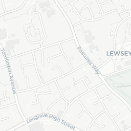
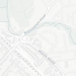
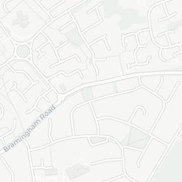
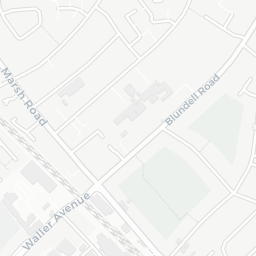
LU4 9HT scores 56/100 on the NestScope Score, with its strongest showing in transport and healthcare — with Leagrave Rail Station about 8 minutes' walk away. The main trade-off is its safety score. The breakdown below draws on official UK data covering schools, safety, healthcare, transport, environment and local amenities.

In national context, LU4 9HT is a mixed, mid-ranking neighbourhood — IMD decile 4/10, ranked 10,766 of 32,844 neighbourhoods in England. The Index of Multiple Deprivation is the UK government's official measure of relative deprivation, refreshed roughly every five years. Housing pressure here is high (IMD housing decile 4/10).

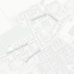
There are 51 schools within the typical catchment area, including 3 rated Outstanding by Ofsted and 33 rated Good. The nearest school is The Gill Blowers Nursery School (Ofsted: Good), within a short walk.

There were 25 crimes reported on the surrounding streets in the most recent month, indicating a moderate level of immediate-area crime.

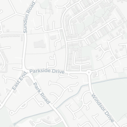
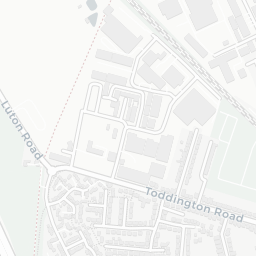
Healthcare access is good, with 20 GP surgeries, 1 hospital and 12 dental practices in the wider neighbourhood. The nearest GP practice is DRS MIRZA SUKHANI & PARTNERS, about 5 minutes' walk away. The nearest hospital is LUTON & DUNSTABLE HOSPITAL, 0.8 mi away. A pharmacy is about 5 minutes' walk away.

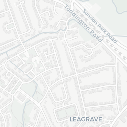
The nearest rail stations are Leagrave Rail Station (Train, about 8 minutes' walk away). There are also 49 bus stops within walking distance.

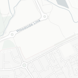
The location sits in Flood Zone 2 (medium risk — between a 1 in 100 and 1 in 1,000 annual chance), which may affect insurance and mortgage availability.

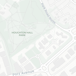
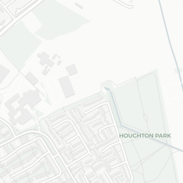
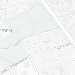
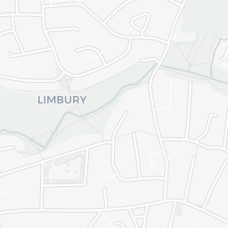
There are 16 green spaces within walking distance, totalling 47.1 hectares of parks and outdoor space. The nearest is Park (0.95 ha), within a short walk.

There are 25 supermarkets in the wider area, including Tesco, Iceland, Lidl, Aldi and others. The nearest is Tesco Sundon Park Express, about 13 minutes' walk away. A public library is about 2 minutes' walk away.

Sources: DfE/Ofsted, UK Police API, NHS ODS, NaPTAN, Environment Agency, Ordnance Survey, Natural England, DEFRA, Geolytix and Arts Council England. For an interactive map view, explore LU4 9HT on NestScope.

Explore area insights about nearby locations

Data: DfE/Ofsted · UK Police API · NHS ODS · NaPTAN · Ordnance Survey · Geolytix. Crown Copyright / OGL. Look up any postcode: nestscope.uk/area/YOUR+POSTCODE — e.g. SW1A 1AA, M1 1AE, BS1 1HT.

NestScope

All data from publicly available UK government sources. Each dimension uses a category-appropriate radius (walking distance for crime and transport, school catchment, drive distance for healthcare). IMD context is the latest published English Indices of Deprivation (2019). This report is for informational purposes only.