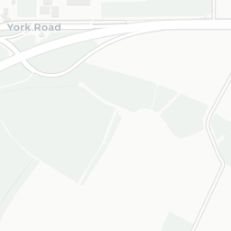
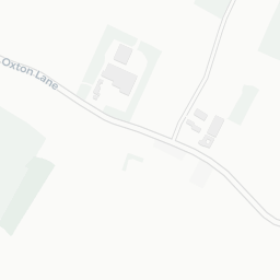
NestScope
LS24 9JG · Neighbourhood Report
© OpenStreetMap · © CARTO
Area Report
Last updated 13 JUN 2026

LS24 9JG

Neighbourhood Report

What's nearby — across walking, short-drive and school catchment distance. Data from official UK government sources.

NestScope Score
79/ 100

A well-off neighbourhood

Anchored on official IMD data — decile 8/10, ranked 24,874 of 32,844 neighbourhoods in England.

How this score is calculated
01 — Snapshot

Around LS24 9JG.

The large figure is how many we found nearby; the chip beside each label is that category’s NestScope score out of 100 — higher beats more of the UK.

Schools63/100
3Good/Outstanding within 1 mi

4 rated Good or better within 2 mi · 4 schools in total

Nearest top-rated: Riverside School, Tadcaster (Good) — 0.1 mi

Safety96/100

IMD crime decile 10/10 · live count unavailable

Data temporarily unavailable

Healthcare75/100
1GP & hospitals

IMD health decile 7/10 · 1 GP, 2 dentists, pharmacy 0.2 mi within 1.5 mi

Nearest GP: TADCASTER MEDICAL CENTRE — 0.4 mi

Transport71/100

No rail stations within 0.5 miles · 20 bus stops nearby

Green space62/100
11green spaces

IMD environment decile 2/10 · 14.1 ha total — largest park 4.2 ha (0.39 mi away)

Nearest: Sports Facility (2.4 ha) — 0.1 mi

Amenities86/100
2supermarkets

2 supermarkets within 2 mi — Morrisons, Sainsburys — nearest 0.2 mi — library 0.0 mi

Nearest: Morrisons Daily Leeds Road — 0.2 mi

02 — Environment

Environment & risk near LS24 9JG.

Official risk flags for context — deliberately not part of the NestScope score (they’re categorical hazards, not amenities).

Flood risk
Zone 1 (low)

Flood Zone 1 — low risk (less than 1 in 1,000 annual chance) · Source: Environment Agency Flood Map for Planning

Zone 1
Zone 2
Zone 3
Air qualityWithin WHO guideline
9.1µg/m³

NO₂ annual mean · WHO guideline 10 · UK limit 40 · Source: DEFRA UK-AIR 2024

<10
10–20
20–30
30–40
≥40
Road noiseModerate
60dB Lden

Road traffic, day-evening-night average · Source: DEFRA strategic noise mapping

<55
55–64
65–74
≥75

About LS24 9JG

LS24 9JG scores 79/100 on the NestScope Score, with its strongest showing in safety and local amenities. The breakdown below draws on official UK data covering schools, safety, healthcare, transport, environment and local amenities.

In national context, LS24 9JG is a well-off neighbourhood — IMD decile 8/10, ranked 24,874 of 32,844 neighbourhoods in England. The Index of Multiple Deprivation is the UK government's official measure of relative deprivation, refreshed roughly every five years. Housing pressure here is low (IMD housing decile 10/10).

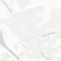
There are 4 schools within the typical catchment area, including 4 rated Good. The nearest school is Riverside School, Tadcaster (Ofsted: Good), within a short walk.

Healthcare access is available, with 1 GP surgery and 2 dental practices in the wider neighbourhood. The nearest GP practice is TADCASTER MEDICAL CENTRE, about 8 minutes' walk away. A pharmacy is about 5 minutes' walk away.

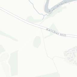
There are no train or Tube stations near LS24 9JG. Bus services provide the main public transport, with 20 bus stops in the immediate area.

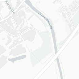
The location is in Flood Zone 1 (low risk — less than a 1 in 1,000 annual chance of river or sea flooding). road traffic noise is moderate (about 60 dB Lden).

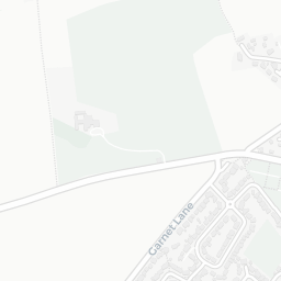
There are 11 green spaces within walking distance, totalling 14.1 hectares of parks and outdoor space. The nearest is Sports Facility (2.4 ha), about 2 minutes' walk away.

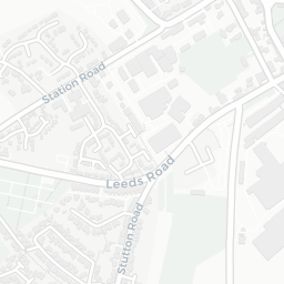
There are 2 supermarkets in the wider area, including Morrisons, Sainsburys. The nearest is Morrisons Daily Leeds Road, about 3 minutes' walk away. A public library is within a short walk.

Sources: DfE/Ofsted, UK Police API, NHS ODS, NaPTAN, Environment Agency, Ordnance Survey, Natural England, DEFRA, Geolytix and Arts Council England. For an interactive map view, explore LS24 9JG on NestScope.

Explore area insights about nearby locations

Data: DfE/Ofsted · UK Police API · NHS ODS · NaPTAN · Ordnance Survey · Geolytix. Crown Copyright / OGL. Look up any postcode: nestscope.uk/area/YOUR+POSTCODE — e.g. SW1A 1AA, M1 1AE, BS1 1HT.

NestScope

All data from publicly available UK government sources. Each dimension uses a category-appropriate radius (walking distance for crime and transport, school catchment, drive distance for healthcare). IMD context is the latest published English Indices of Deprivation (2019). This report is for informational purposes only.