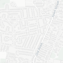

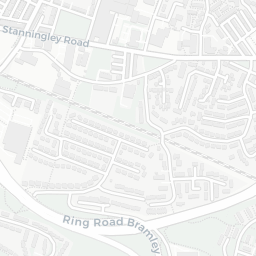
About LS13 3DS
LS13 3DS scores 51/100 on the NestScope Score, with its strongest showing in local amenities and transport — with Tesco Stanningley Half Mile Ln Express about 10 minutes' walk away. The main trade-off is its safety score. The breakdown below draws on official UK data covering schools, safety, healthcare, transport, environment and local amenities.
In national context, LS13 3DS is a mixed, mid-ranking neighbourhood — IMD decile 3/10, ranked 7,397 of 32,844 neighbourhoods in England. The Index of Multiple Deprivation is the UK government's official measure of relative deprivation, refreshed roughly every five years. Housing pressure here is low (IMD housing decile 10/10).
There are 35 schools within the typical catchment area, including 3 rated Outstanding by Ofsted and 23 rated Good. The nearest school is Bramley Park Academy (Ofsted: Outstanding), about 3 minutes' walk away.
There were 26 crimes reported on the surrounding streets in the most recent month, indicating a moderate level of immediate-area crime.
Healthcare access is good, with 11 GP surgeries, 1 hospital and 7 dental practices in the wider neighbourhood. The nearest GP practice is DR S M CHEN & PARTNER, 0.8 mi away. The nearest hospital is ST MARY'S HOSPITAL, 1.5 mi away. A pharmacy is about 13 minutes' walk away.
The nearest rail stations are Bramley (West Yorks) Rail Station (Train, about 9 minutes' walk away). There are also 35 bus stops within walking distance.
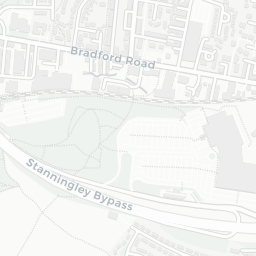
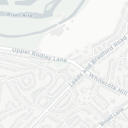
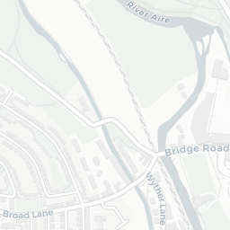
The location is in Flood Zone 1 (low risk — less than a 1 in 1,000 annual chance of river or sea flooding).
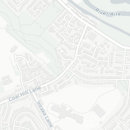
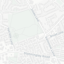
There are 7 green spaces within walking distance, totalling 26.6 hectares of parks and outdoor space. The nearest is Playground (700 m²), about 6 minutes' walk away.
There are 22 supermarkets in the wider area, including Tesco, Morrisons, The Co-operative Group, Lidl and others. The nearest is Tesco Stanningley Half Mile Ln Express, about 10 minutes' walk away. A public library is about 12 minutes' walk away.
Sources: DfE/Ofsted, UK Police API, NHS ODS, NaPTAN, Environment Agency, Ordnance Survey, Natural England, DEFRA, Geolytix and Arts Council England. For an interactive map view, explore LS13 3DS on NestScope.