Area Report
Last updated 19 JUN 2026Neighbourhood Report
What's nearby — across walking, short-drive and school catchment distance. Data from official UK government sources.
01 — Snapshot
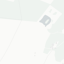
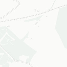
Around LL60 6NB.
The large figure is how many we found nearby; the chip beside each label is that category’s NestScope score out of 100 — higher beats more of the UK.
0Good/Outstanding within 1 mi
0 rated Good or better within 2 mi · 3 schools in total
No Good or Outstanding school within 2 mi
0crimes last month
no crimes in 400m last month
Crimes reported last month · UK Police API
—
Not collected in Wales (England-centric data)
No rail stations within 0.5 miles · 1 bus stops nearby
1green spaces
0.6 ha total — no proper park nearby
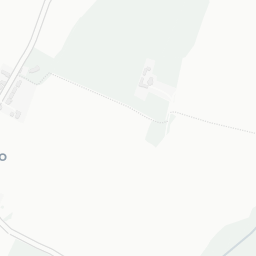
Nearest: St Caffo's Church — 0.2 mi
0supermarkets
0 supermarkets within 2 mi
02 — Environment
Environment & risk near LL60 6NB.
Official risk flags for context — deliberately not part of the NestScope score (they’re categorical hazards, not amenities).
Flood risk
Zone 1 (low)
Flood Zone 1 — low risk (less than 1 in 1,000 annual chance) · Source: Environment Agency Flood Map for Planning
Air quality
—
NO₂ annual mean unavailable for this postcode · Source: DEFRA UK-AIR 2024
03 — House prices
Sold prices in LL60.
Average sold price by property type across the LL60 district, 2021–2026 — 189 sales.
About LL60 6NB
LL60 6NB scores 70/100 on the NestScope Score, with its strongest showing in safety and schools — with no crimes reported on the surrounding streets last month. The breakdown below draws on official UK data covering schools, safety, healthcare, transport, environment and local amenities.
LL60 6NB sits outside England, so the national deprivation backbone (IMD) that anchors the NestScope Score isn't available — the figures below are based on local amenities only.
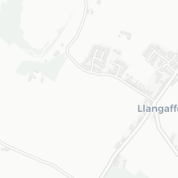
There are 3 schools within the typical catchment area. The nearest school is Ysgol Llangaffo, within a short walk.
No crimes were reported on the surrounding streets in the most recent month, consistent with a very low local crime profile.
There are no GP surgeries, hospitals or pharmacies within easy reach of LL60 6NB. Residents may need to travel further for healthcare access.