NestScope
LL26 0EY · Neighbourhood Report
© OpenStreetMap · © CARTO
Area Report
Last updated 18 JUN 2026

LL26 0EY

Neighbourhood Report

What's nearby — across walking, short-drive and school catchment distance. Data from official UK government sources.

NestScope Score
75/ 100

Partial score · Wales

A full NestScope Score relies on the England-only IMD backbone (plus schools, healthcare and crime data), so this is a partial score for Wales, based only on the layers actually covered here.

How this score is calculated
01 — Snapshot

Around LL26 0EY.

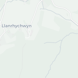
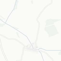
The large figure is how many we found nearby; the chip beside each label is that category’s NestScope score out of 100 — higher beats more of the UK.

Schools72/100
0Good/Outstanding within 1 mi

0 rated Good or better within 2 mi · 3 schools in total

No Good or Outstanding school within 2 mi

Safety68/100
21crimes last month

21 crimes in 400m last month (residential-weighted: 10.3)

Crimes reported last month · UK Police API

Healthcare77/100
2GP & hospitals

2 GP, 1 dentist, pharmacy 0.1 mi within 1.5 mi

Nearest GP: MEDDYGFA GWYDIR — 0.2 mi
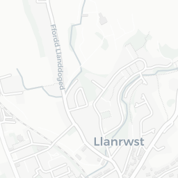
Transport88/100
Llanrwst Rail Station0.1 mi

22 bus stops also within 0.5 miles

Green space76/100
14green spaces

7.3 ha total — largest park 2.1 ha (0.09 mi away)

Nearest: Sports Facility (800 m²) — 0.1 mi

Amenities77/100
2supermarkets

2 supermarkets within 2 mi — Spar, The Co-operative Group — nearest 0.1 mi

Nearest: Spar - Llanrwst — 0.1 mi

02 — Environment

Environment & risk near LL26 0EY.

Official risk flags for context — deliberately not part of the NestScope score (they’re categorical hazards, not amenities).

Flood risk
Zone 1 (low)

Flood Zone 1 — low risk (less than 1 in 1,000 annual chance) · Source: Environment Agency Flood Map for Planning

Zone 1
Zone 2
Zone 3
Air qualityWithin WHO guideline
1.8µg/m³

NO₂ annual mean · WHO guideline 10 · UK limit 40 · Source: DEFRA UK-AIR 2024

<10
10–20
20–30
30–40
≥40
03 — House prices

Sold prices in LL26.

Average sold price by property type across the LL26 district, 20212026253 sales.

£0£200k£400k£600k202120222023202420252026
  • Detached
  • Semi-detached
  • Terraced
  • Flat
Detached£357k 3.2%
Semi-detached£190k 7.9%
Terraced£194k 35.6%
Flat£173k 112.0%

District-level averages (LL26) — broad enough to show a reliable trend. A single postcode usually sees too few sales to chart. Source: HM Land Registry Price Paid Data (Crown Copyright / OGL v3.0).

About LL26 0EY

LL26 0EY scores 75/100 on the NestScope Score, with its strongest showing in transport and healthcare — with Llanrwst Rail Station about 3 minutes' walk away. The breakdown below draws on official UK data covering schools, safety, healthcare, transport, environment and local amenities.

Explore area insights about nearby locations

Data: DfE/Ofsted · UK Police API · NHS ODS · NaPTAN · Ordnance Survey · Geolytix. Crown Copyright / OGL. Look up any postcode: nestscope.uk/area/YOUR+POSTCODE — e.g. SW1A 1AA, M1 1AE, BS1 1HT.