NestScope
LE11 1AQ · Neighbourhood Report
© OpenStreetMap · © CARTO
Area Report
Last updated 17 JUN 2026

LE11 1AQ

Neighbourhood Report

What's nearby — across walking, short-drive and school catchment distance. Data from official UK government sources.

NestScope Score
44/ 100

A more affordable, lower-income neighbourhood

Anchored on official IMD data — decile 1/10, ranked 699 of 32,844 neighbourhoods in England.

How this score is calculated
01 — Snapshot

Around LE11 1AQ.

The large figure is how many we found nearby; the chip beside each label is that category’s NestScope score out of 100 — higher beats more of the UK.

Schools46/100
7Good/Outstanding within 1 mi

16 rated Good or better within 2 mi · 28 schools in total

Nearest top-rated: Limehurst Academy (Good) — 0.4 mi

Safety30/100
82crimes last month

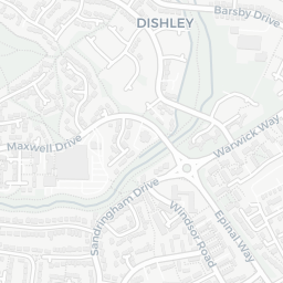
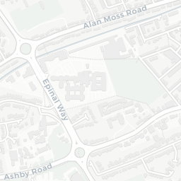
IMD crime decile 1/10 · 82 crimes in 400m last month (residential-weighted: 57.4)

Crimes reported last month · UK Police API

Healthcare68/100
15GP & hospitals

IMD health decile 1/10 · 14 GP, 1 hospital, 13 dentists, pharmacy 0.1 mi within 1.5 mi

Nearest GP: LEICESTERSHIRE AND RUTLAND SH HUB — 0.1 mi
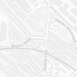
Transport72/100
Loughborough Central (Great Central Railway)0.3 mi

34 bus stops also within 0.5 miles
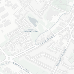
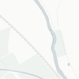
Green space68/100
20green spaces

IMD environment decile 6/10 · 11.2 ha total — largest park 3.6 ha (0.50 mi away)

Nearest: Holy Trinity Church — 0.1 mi

Amenities95/100
14supermarkets

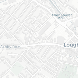
14 supermarkets within 2 mi — Tesco, Morrisons, Marks and Spencer, Iceland… — nearest 0.1 mi — library 0.4 mi

Nearest: Tesco Leicester Rd Loughborough Express — 0.1 mi

02 — Environment

Environment & risk near LE11 1AQ.

Official risk flags for context — deliberately not part of the NestScope score (they’re categorical hazards, not amenities).

Flood risk
Zone 1 (low)

Flood Zone 1 — low risk (less than 1 in 1,000 annual chance) · Source: Environment Agency Flood Map for Planning

Zone 1
Zone 2
Zone 3
Air qualityLow
10.2µg/m³

NO₂ annual mean · WHO guideline 10 · UK limit 40 · Source: DEFRA UK-AIR 2024

<10
10–20
20–30
30–40
≥40
Road noiseQuiet
53dB Lden

Road traffic, day-evening-night average · Source: DEFRA strategic noise mapping

<55
55–64
65–74
≥75
03 — House prices

Sold prices in LE11.

Average sold price by property type across the LE11 district, 202120264,263 sales.

£0£100k£200k£300k£400k202120222023202420252026
  • Detached
  • Semi-detached
  • Terraced
  • Flat
Detached£371k 8.9%
Semi-detached£247k 13.6%
Terraced£200k 7.0%
Flat£146k 16.4%

District-level averages (LE11) — broad enough to show a reliable trend. A single postcode usually sees too few sales to chart. Source: HM Land Registry Price Paid Data (Crown Copyright / OGL v3.0).

About LE11 1AQ

LE11 1AQ scores 44/100 on the NestScope Score, with its strongest showing in local amenities and transport — with Tesco Leicester Rd Loughborough Express about 3 minutes' walk away. The main trade-off is its safety score. The breakdown below draws on official UK data covering schools, safety, healthcare, transport, environment and local amenities.

Explore area insights about nearby locations

Data: DfE/Ofsted · UK Police API · NHS ODS · NaPTAN · Ordnance Survey · Geolytix. Crown Copyright / OGL. Look up any postcode: nestscope.uk/area/YOUR+POSTCODE — e.g. SW1A 1AA, M1 1AE, BS1 1HT.