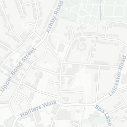
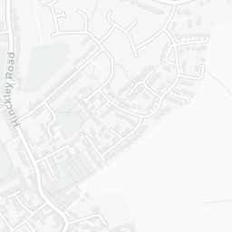
About LE10 9HH
LE10 9HH scores 54/100 on the NestScope Score, with its strongest showing in local amenities and healthcare — with Iceland Hinckley about 3 minutes' walk away. The main trade-off is its safety score. The breakdown below draws on official UK data covering schools, safety, healthcare, transport, environment and local amenities.
In national context, LE10 9HH is a mixed, mid-ranking neighbourhood — IMD decile 3/10, ranked 8,796 of 32,844 neighbourhoods in England. The Index of Multiple Deprivation is the UK government's official measure of relative deprivation, refreshed roughly every five years. Housing pressure here is low (IMD housing decile 9/10).
There are 19 schools within the typical catchment area, including 13 rated Good. The nearest school is St Mary's Church of England Primary School, Hinckley (Ofsted: Good), within a short walk.
There were 59 crimes reported on the surrounding streets in the most recent month, indicating a elevated level of immediate-area crime.
Healthcare access is good, with 9 GP surgeries, 1 hospital and 6 dental practices in the wider neighbourhood. The nearest GP practice is HINCKLEY CENTRAL PCN WL EA SERVICE, about 4 minutes' walk away. The nearest hospital is HINCKLEY & DISTRICT HOSPITAL, about 4 minutes' walk away. A pharmacy is about 4 minutes' walk away.
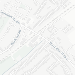
The nearest rail stations are Hinckley Rail Station (Train, about 7 minutes' walk away). There are also 41 bus stops within walking distance.
The location is in Flood Zone 1 (low risk — less than a 1 in 1,000 annual chance of river or sea flooding).
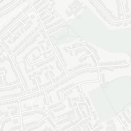
There are 21 green spaces within walking distance, totalling 21.1 hectares of parks and outdoor space. The nearest is Parish Church of St Mary, within a short walk.
There are 17 supermarkets in the wider area, including Iceland, Sainsburys, Lidl, Aldi and others. The nearest is Iceland Hinckley, about 3 minutes' walk away. A public library is within a short walk.
Sources: DfE/Ofsted, UK Police API, NHS ODS, NaPTAN, Environment Agency, Ordnance Survey, Natural England, DEFRA, Geolytix and Arts Council England. For an interactive map view, explore LE10 9HH on NestScope.