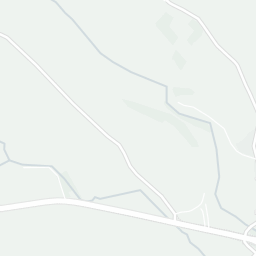
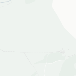
NestScope
LA8 9PH · Neighbourhood Report
© OpenStreetMap · © CARTO
Area Report
Last updated 13 JUN 2026

LA8 9PH

Neighbourhood Report

What's nearby — across walking, short-drive and school catchment distance. Data from official UK government sources.

NestScope Score
77/ 100

A well-off neighbourhood

Anchored on official IMD data — decile 7/10, ranked 21,918 of 32,844 neighbourhoods in England.

How this score is calculated
01 — Snapshot

Around LA8 9PH.

The large figure is how many we found nearby; the chip beside each label is that category’s NestScope score out of 100 — higher beats more of the UK.

Schools74/100
0Good/Outstanding within 1 mi

0 rated Good or better within 2 mi · 2 schools in total

No Good or Outstanding school within 2 mi

Safety96/100
0crimes last month

IMD crime decile 10/10 · no crimes in 400m last month

Crimes reported last month · UK Police API

Healthcare70/100
0GP & hospitals

IMD health decile 9/10 · pharmacy 0.2 mi within 1.5 mi

Transport82/100
Staveley Rail Station0.3 mi
Green space73/100
4green spaces

IMD environment decile 2/10 · within National Park (3.1 ha total — largest park 1.6 ha (0.17 mi away))

Nearest: St James's Church — 0.1 mi

Amenities51/100
1supermarkets

1 supermarket within 2 mi — Spar — nearest 0.3 mi

Nearest: Spar - Staveley — 0.3 mi

02 — Environment

Environment & risk near LA8 9PH.

Official risk flags for context — deliberately not part of the NestScope score (they’re categorical hazards, not amenities).

Flood risk
Zone 1 (low)

Flood Zone 1 — low risk (less than 1 in 1,000 annual chance) · Source: Environment Agency Flood Map for Planning

Zone 1
Zone 2
Zone 3
Air qualityWithin WHO guideline
2.4µg/m³

NO₂ annual mean · WHO guideline 10 · UK limit 40 · Source: DEFRA UK-AIR 2024

<10
10–20
20–30
30–40
≥40
Road noiseQuiet
50dB Lden

Road traffic, day-evening-night average · Source: DEFRA strategic noise mapping

<55
55–64
65–74
≥75

About LA8 9PH

LA8 9PH scores 77/100 on the NestScope Score, with its strongest showing in safety and transport — with no crimes reported on the surrounding streets last month. The breakdown below draws on official UK data covering schools, safety, healthcare, transport, environment and local amenities.

In national context, LA8 9PH is a well-off neighbourhood — IMD decile 7/10, ranked 21,918 of 32,844 neighbourhoods in England. The Index of Multiple Deprivation is the UK government's official measure of relative deprivation, refreshed roughly every five years. Housing pressure here is high (IMD housing decile 3/10).

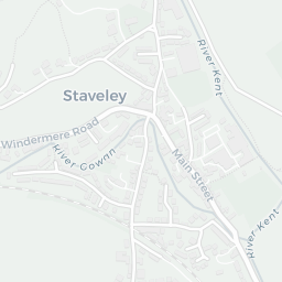
There are 2 schools within the typical catchment area. The nearest school is Staveley CofE School, within a short walk.

No crimes were reported on the surrounding streets in the most recent month, consistent with a very low local crime profile.

Day-to-day healthcare provision nearby is limited. A pharmacy is about 4 minutes' walk away.

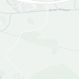
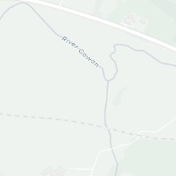
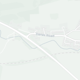
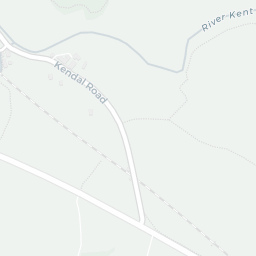
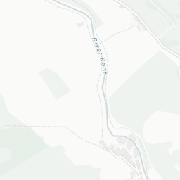
The nearest rail stations are Staveley Rail Station (Train, about 5 minutes' walk away).

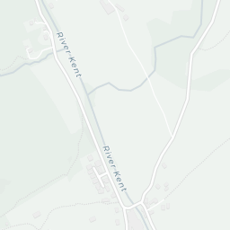
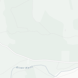
The location is in Flood Zone 1 (low risk — less than a 1 in 1,000 annual chance of river or sea flooding). road traffic noise is low (about 50 dB Lden).

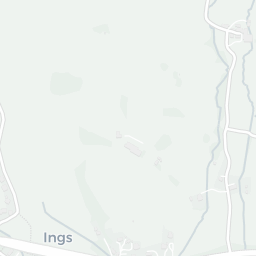
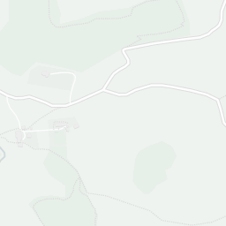
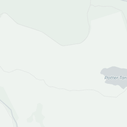
There are 4 green spaces within walking distance, totalling 3.1 hectares of parks and outdoor space. The nearest is St James's Church, about 2 minutes' walk away. The postcode sits within a National Park, giving it open countryside on the doorstep that isn't recorded as a formal park.

There is 1 supermarket in the wider area, including Spar. The nearest is Spar - Staveley, about 5 minutes' walk away.

Sources: DfE/Ofsted, UK Police API, NHS ODS, NaPTAN, Environment Agency, Ordnance Survey, Natural England, DEFRA, Geolytix and Arts Council England. For an interactive map view, explore LA8 9PH on NestScope.

Data: DfE/Ofsted · UK Police API · NHS ODS · NaPTAN · Ordnance Survey · Geolytix. Crown Copyright / OGL. Look up any postcode: nestscope.uk/area/YOUR+POSTCODE — e.g. SW1A 1AA, M1 1AE, BS1 1HT.

NestScope

All data from publicly available UK government sources. Each dimension uses a category-appropriate radius (walking distance for crime and transport, school catchment, drive distance for healthcare). IMD context is the latest published English Indices of Deprivation (2019). This report is for informational purposes only.