
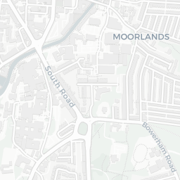
About LA1 5PR
LA1 5PR scores 50/100 on the NestScope Score, with its strongest showing in local amenities and green space — with Morrisons Daily Lancaster Willow Lane within a short walk. The breakdown below draws on official UK data covering schools, safety, healthcare, transport, environment and local amenities.
In national context, LA1 5PR is a more affordable, lower-income neighbourhood — IMD decile 2/10, ranked 4,941 of 32,844 neighbourhoods in England. The Index of Multiple Deprivation is the UK government's official measure of relative deprivation, refreshed roughly every five years. Housing pressure here is moderate (IMD housing decile 6/10).
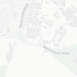
There are 30 schools within the typical catchment area, including 3 rated Outstanding by Ofsted and 18 rated Good. The nearest school is Willow Lane Community Primary School, within a short walk.
There were 17 crimes reported on the surrounding streets in the most recent month, indicating a moderate level of immediate-area crime.
Healthcare access is good, with 10 GP surgeries, 3 hospitals and 13 dental practices in the wider neighbourhood. The nearest GP practice is LONGLANDS CHILD DEVELOPMENT CENTRE, about 5 minutes' walk away. The nearest hospital is ROYAL LANCASTER INFIRMARY, 0.8 mi away. A pharmacy is about 10 minutes' walk away.
The nearest rail stations are Lancaster Rail Station (Train, about 5 minutes' walk away). There are also 32 bus stops within walking distance.
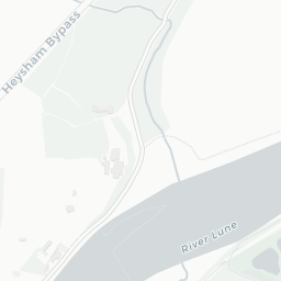
The location sits in Flood Zone 2 (medium risk — between a 1 in 100 and 1 in 1,000 annual chance), which may affect insurance and mortgage availability. road traffic noise is moderate (about 57 dB Lden).
There are 23 green spaces within walking distance, totalling 39 hectares of parks and outdoor space. The nearest is Playground (700 m²), within a short walk.
There are 24 supermarkets in the wider area, including Morrisons, Spar, Aldi, Tesco and others. The nearest is Morrisons Daily Lancaster Willow Lane, within a short walk. A public library is about 10 minutes' walk away.
Sources: DfE/Ofsted, UK Police API, NHS ODS, NaPTAN, Environment Agency, Ordnance Survey, Natural England, DEFRA, Geolytix and Arts Council England. For an interactive map view, explore LA1 5PR on NestScope.