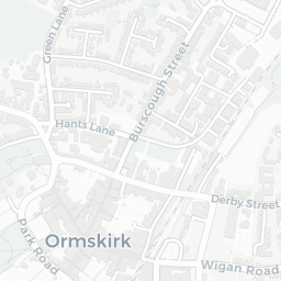
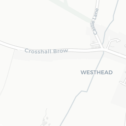
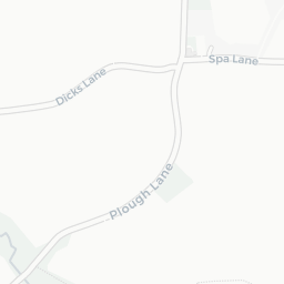
NestScope
L40 6HN · Neighbourhood Report
© OpenStreetMap · © CARTO
Area Report
Last updated 13 JUN 2026

L40 6HN

Neighbourhood Report

What's nearby — across walking, short-drive and school catchment distance. Data from official UK government sources.

NestScope Score
82/ 100

One of the most affluent neighbourhoods in England

Anchored on official IMD data — decile 9/10, ranked 28,314 of 32,844 neighbourhoods in England.

How this score is calculated
01 — Snapshot

Around L40 6HN.

The large figure is how many we found nearby; the chip beside each label is that category’s NestScope score out of 100 — higher beats more of the UK.

Safety86/100
1crimes last month

IMD crime decile 8/10 · 1 crime in 400m last month (residential-weighted: 1)

Crimes reported last month · UK Police API

Healthcare77/100
4GP & hospitals

IMD health decile 7/10 · 3 GP, 1 hospital, 1 dentist within 1.5 mi

Nearest GP: WEST LANCS GP SERVICES OOH — 1.1 mi

Transport68/100

No rail stations within 0.5 miles · 7 bus stops nearby

Green space78/100
3green spaces

IMD environment decile 9/10 · 2.8 ha total — largest park 2.3 ha (0.07 mi away)

Nearest: Playing Field (2.3 ha) — 0.1 mi

Amenities65/100
11supermarkets

11 supermarkets within 2 mi — Morrisons, The Co-operative Group, Lidl, Iceland… — library 1.7 mi

Nearest: Morrisons Daily Edge Hill University — 1.2 mi

02 — Environment

Environment & risk near L40 6HN.

Official risk flags for context — deliberately not part of the NestScope score (they’re categorical hazards, not amenities).

Flood risk
Zone 1 (low)

Flood Zone 1 — low risk (less than 1 in 1,000 annual chance) · Source: Environment Agency Flood Map for Planning

Zone 1
Zone 2
Zone 3
Air qualityWithin WHO guideline
6.4µg/m³

NO₂ annual mean · WHO guideline 10 · UK limit 40 · Source: DEFRA UK-AIR 2024

<10
10–20
20–30
30–40
≥40
03 — House prices

Sold prices in L40.

Average sold price by property type across the L40 district, 202120262,138 sales.

£0£200k£400k£600k202120222023202420252026
  • Detached
  • Semi-detached
  • Terraced
  • Flat
Detached£461k 17.9%
Semi-detached£305k 32.9%
Terraced£236k 29.7%
Flat£176k 14.7%

District-level averages (L40) — broad enough to show a reliable trend. A single postcode usually sees too few sales to chart. Source: HM Land Registry Price Paid Data (Crown Copyright / OGL v3.0).

About L40 6HN

L40 6HN scores 82/100 on the NestScope Score, with its strongest showing in safety and schools — with only 1 crime reported on the surrounding streets last month. The breakdown below draws on official UK data covering schools, safety, healthcare, transport, environment and local amenities.

In national context, L40 6HN is one of the most affluent neighbourhoods in England — IMD decile 9/10, ranked 28,314 of 32,844 neighbourhoods in England. The Index of Multiple Deprivation is the UK government's official measure of relative deprivation, refreshed roughly every five years. Housing pressure here is high (IMD housing decile 3/10).

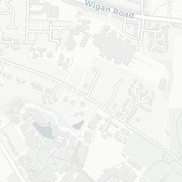
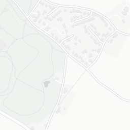
There are 14 schools within the typical catchment area, including 1 rated Outstanding by Ofsted and 7 rated Good. The nearest school is Westhead Lathom St James' Church of England Primary School, within a short walk.

There was 1 crime reported on the surrounding streets in the most recent month, indicating a very low level of immediate-area crime.

Healthcare access is good, with 3 GP surgeries, 1 hospital and 1 dental practice in the wider neighbourhood. The nearest GP practice is WEST LANCS GP SERVICES OOH, 1.1 mi away. The nearest hospital is ORMSKIRK & DISTRICT GENERAL HOSPITAL, 1.2 mi away.

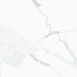
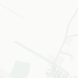
There are no train or Tube stations near L40 6HN. Bus services provide the main public transport, with 7 bus stops in the immediate area.

The location is in Flood Zone 1 (low risk — less than a 1 in 1,000 annual chance of river or sea flooding).

There are 3 green spaces within walking distance, totalling 2.8 hectares of parks and outdoor space. The nearest is Playing Field (2.3 ha), within a short walk.

There are 11 supermarkets in the wider area, including Morrisons, The Co-operative Group, Lidl, Iceland and others. The nearest is Morrisons Daily Edge Hill University, 1.2 mi away. A public library is 1.7 mi away.

Sources: DfE/Ofsted, UK Police API, NHS ODS, NaPTAN, Environment Agency, Ordnance Survey, Natural England, DEFRA, Geolytix and Arts Council England. For an interactive map view, explore L40 6HN on NestScope.

Explore area insights about nearby locations

Data: DfE/Ofsted · UK Police API · NHS ODS · NaPTAN · Ordnance Survey · Geolytix. Crown Copyright / OGL. Look up any postcode: nestscope.uk/area/YOUR+POSTCODE — e.g. SW1A 1AA, M1 1AE, BS1 1HT.

NestScope

All data from publicly available UK government sources. Each dimension uses a category-appropriate radius (walking distance for crime and transport, school catchment, drive distance for healthcare). IMD context is the latest published English Indices of Deprivation (2019). This report is for informational purposes only.