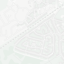
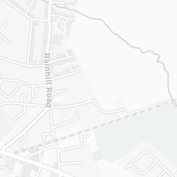
NestScope
L35 0LQ · Neighbourhood Report
© OpenStreetMap · © CARTO
Area Report
Last updated 13 JUN 2026

L35 0LQ

Neighbourhood Report

What's nearby — across walking, short-drive and school catchment distance. Data from official UK government sources.

NestScope Score
86/ 100

One of the most affluent neighbourhoods in England

Anchored on official IMD data — decile 9/10, ranked 27,132 of 32,844 neighbourhoods in England.

How this score is calculated
01 — Snapshot

Around L35 0LQ.

The large figure is how many we found nearby; the chip beside each label is that category’s NestScope score out of 100 — higher beats more of the UK.

Schools93/100
5Good/Outstanding within 1 mi

21 rated Good or better within 2 mi · 28 schools in total

Nearest top-rated: Rainhill Community Nursery (Outstanding) — 0.4 mi

Safety88/100

IMD crime decile 9/10 · live count unavailable

Data temporarily unavailable

Healthcare79/100
31GP & hospitals

IMD health decile 5/10 · 28 GP, 3 hospitals, 3 dentists, pharmacy 0.6 mi within 1.5 mi

Nearest GP: IV THERAPY TEAM — 0.0 mi

Transport83/100
Rainhill Rail Station0.2 mi

19 bus stops also within 0.5 miles

Green space80/100
10green spaces

IMD environment decile 8/10 · 14.6 ha total — largest park 9.7 ha (0.29 mi away)

Nearest: Rainhill Eco — 0.1 mi

Amenities81/100
15supermarkets

15 supermarkets within 2 mi — The Co-operative Group, Asda, Morrisons, Marks and Spencer… — nearest 0.1 mi — library 1.6 mi

Nearest: Co-op Rainhill - Warrington Road — 0.1 mi

02 — Environment

Environment & risk near L35 0LQ.

Official risk flags for context — deliberately not part of the NestScope score (they’re categorical hazards, not amenities).

Flood risk
Zone 1 (low)

Flood Zone 1 — low risk (less than 1 in 1,000 annual chance) · Source: Environment Agency Flood Map for Planning

Zone 1
Zone 2
Zone 3
Air qualityLow
10.9µg/m³

NO₂ annual mean · WHO guideline 10 · UK limit 40 · Source: DEFRA UK-AIR 2024

<10
10–20
20–30
30–40
≥40
Road noiseQuiet
44dB Lden

Road traffic, day-evening-night average · Source: DEFRA strategic noise mapping

<55
55–64
65–74
≥75

About L35 0LQ

L35 0LQ scores 86/100 on the NestScope Score, with its strongest showing in schools and safety — with St Ann's Church of England Primary School within a short walk. The breakdown below draws on official UK data covering schools, safety, healthcare, transport, environment and local amenities.

In national context, L35 0LQ is one of the most affluent neighbourhoods in England — IMD decile 9/10, ranked 27,132 of 32,844 neighbourhoods in England. The Index of Multiple Deprivation is the UK government's official measure of relative deprivation, refreshed roughly every five years. Housing pressure here is low (IMD housing decile 10/10).

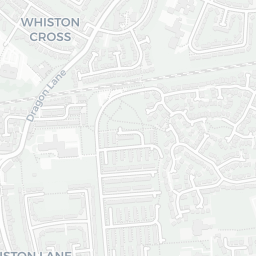
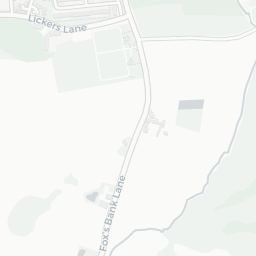
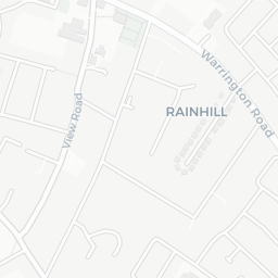
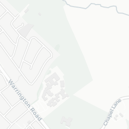
There are 28 schools within the typical catchment area, including 3 rated Outstanding by Ofsted and 18 rated Good. The nearest school is St Ann's Church of England Primary School, within a short walk.

Healthcare access is good, with 28 GP surgeries, 3 hospitals and 3 dental practices in the wider neighbourhood. The nearest GP practice is IV THERAPY TEAM, within a short walk. The nearest hospital is WHISTON HOSPITAL, 0.9 mi away. A pharmacy is about 12 minutes' walk away.

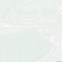
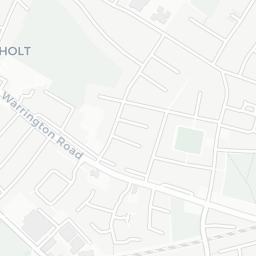
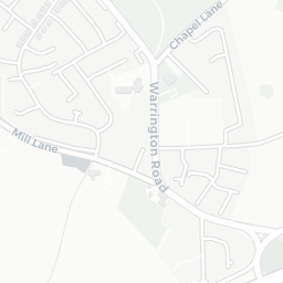
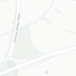
The nearest rail stations are Rainhill Rail Station (Train, about 4 minutes' walk away). There are also 19 bus stops within walking distance.

The location is in Flood Zone 1 (low risk — less than a 1 in 1,000 annual chance of river or sea flooding). road traffic noise is low (about 44 dB Lden).

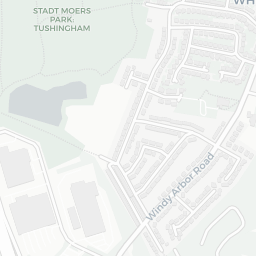
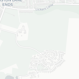
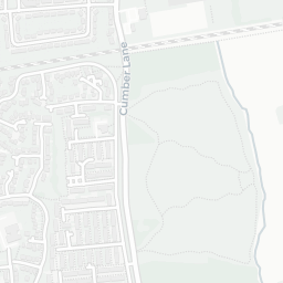
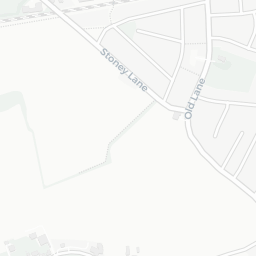
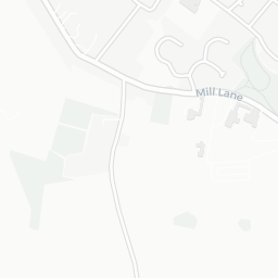
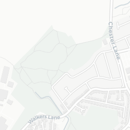
There are 10 green spaces within walking distance, totalling 14.6 hectares of parks and outdoor space. The nearest is Rainhill Eco, about 2 minutes' walk away.

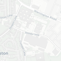
There are 15 supermarkets in the wider area, including The Co-operative Group, Asda, Morrisons, Marks and Spencer and others. The nearest is Co-op Rainhill - Warrington Road, about 2 minutes' walk away. A public library is 1.6 mi away.

Sources: DfE/Ofsted, UK Police API, NHS ODS, NaPTAN, Environment Agency, Ordnance Survey, Natural England, DEFRA, Geolytix and Arts Council England. For an interactive map view, explore L35 0LQ on NestScope.

Explore area insights about nearby locations

Data: DfE/Ofsted · UK Police API · NHS ODS · NaPTAN · Ordnance Survey · Geolytix. Crown Copyright / OGL. Look up any postcode: nestscope.uk/area/YOUR+POSTCODE — e.g. SW1A 1AA, M1 1AE, BS1 1HT.

NestScope

All data from publicly available UK government sources. Each dimension uses a category-appropriate radius (walking distance for crime and transport, school catchment, drive distance for healthcare). IMD context is the latest published English Indices of Deprivation (2019). This report is for informational purposes only.