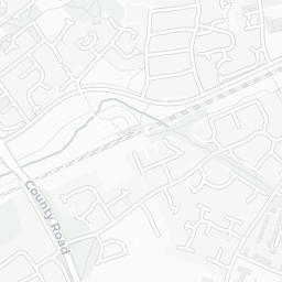

About L33 8XF
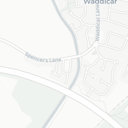
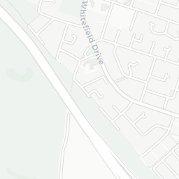
L33 8XF scores 44/100 on the NestScope Score, with its strongest showing in local amenities and transport — with Morrisons Kirkby about 4 minutes' walk away. The main trade-off is its safety score. The breakdown below draws on official UK data covering schools, safety, healthcare, transport, environment and local amenities.
In national context, L33 8XF is a more affordable, lower-income neighbourhood — IMD decile 1/10, ranked 2,057 of 32,844 neighbourhoods in England. The Index of Multiple Deprivation is the UK government's official measure of relative deprivation, refreshed roughly every five years. Housing pressure here is high (IMD housing decile 4/10).
There are 20 schools within the typical catchment area, including 11 rated Good. The nearest school is All Saints Catholic High School (Ofsted: Good), within a short walk.
There were 56 crimes reported on the surrounding streets in the most recent month, indicating a elevated level of immediate-area crime.
Healthcare access is good, with 8 GP surgeries, 1 hospital and 6 dental practices in the wider neighbourhood. The nearest GP practice is THE MACMILLAN SURGERY, about 5 minutes' walk away. The nearest hospital is ALDERHEY CHILDRENS HOSPITAL AT TOWER HILL PRIMARY CARE RESOURCE CENTRE, about 14 minutes' walk away. A pharmacy is about 5 minutes' walk away.
The nearest rail stations are Headbolt Lane (Train, about 8 minutes' walk away). There are also 42 bus stops within walking distance.
The location is in Flood Zone 1 (low risk — less than a 1 in 1,000 annual chance of river or sea flooding).
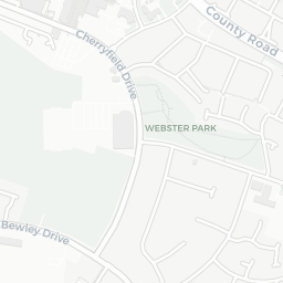
There are 11 green spaces within walking distance, totalling 41.9 hectares of parks and outdoor space. The nearest is Religious Grounds (0.19 ha), within a short walk.
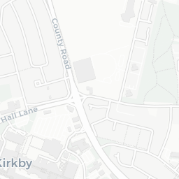
There are 13 supermarkets in the wider area, including Morrisons, Farmfoods, Heron, Iceland and others. The nearest is Morrisons Kirkby, about 4 minutes' walk away. A public library is about 7 minutes' walk away.
Sources: DfE/Ofsted, UK Police API, NHS ODS, NaPTAN, Environment Agency, Ordnance Survey, Natural England, DEFRA, Geolytix and Arts Council England. For an interactive map view, explore L33 8XF on NestScope.