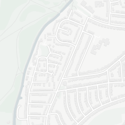
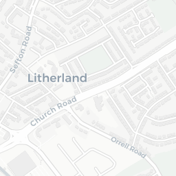
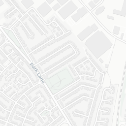
About L30 4UE
L30 4UE scores 49/100 on the NestScope Score, with its strongest showing in local amenities and green space — with Asda Bootle Orrell Lane Supermarket about 8 minutes' walk away. The main trade-off is its schools score. The breakdown below draws on official UK data covering schools, safety, healthcare, transport, environment and local amenities.
In national context, L30 4UE is a more affordable, lower-income neighbourhood — IMD decile 1/10, ranked 2,299 of 32,844 neighbourhoods in England. The Index of Multiple Deprivation is the UK government's official measure of relative deprivation, refreshed roughly every five years. Housing pressure here is moderate (IMD housing decile 6/10).
There are 53 schools within the typical catchment area, including 3 rated Outstanding by Ofsted and 29 rated Good. The nearest school is Foundations for LIFE School, within a short walk.
There were 13 crimes reported on the surrounding streets in the most recent month, indicating a low level of immediate-area crime.
Healthcare access is good, with 17 GP surgeries, 2 hospitals and 9 dental practices in the wider neighbourhood. The nearest GP practice is CGL SEFTON, about 3 minutes' walk away. The nearest hospital is AINTREE UNIVERSITY HOSPITAL, 1.4 mi away. A pharmacy is about 8 minutes' walk away.
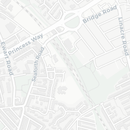
The nearest rail stations are Aintree Rail Station (Train, about 9 minutes' walk away). There are also 26 bus stops within walking distance.
The location is in Flood Zone 1 (low risk — less than a 1 in 1,000 annual chance of river or sea flooding).
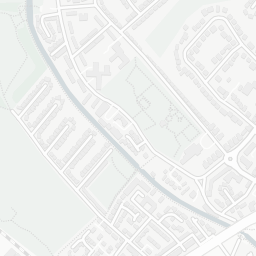
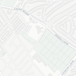
There are 7 green spaces within walking distance, totalling 11 hectares of parks and outdoor space. The nearest is Playground, about 6 minutes' walk away.
There are 29 supermarkets in the wider area, including Asda, Aldi, Tesco, Iceland and others. The nearest is Asda Bootle Orrell Lane Supermarket, about 8 minutes' walk away. A public library is 1.2 mi away.
Sources: DfE/Ofsted, UK Police API, NHS ODS, NaPTAN, Environment Agency, Ordnance Survey, Natural England, DEFRA, Geolytix and Arts Council England. For an interactive map view, explore L30 4UE on NestScope.