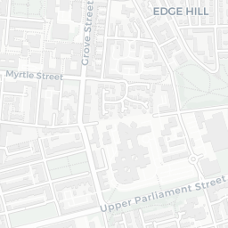
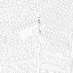
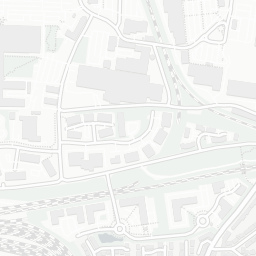
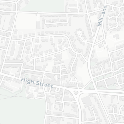
NestScope
L15 0EE · Neighbourhood Report
© OpenStreetMap · © CARTO
Area Report
Last updated 13 JUN 2026

L15 0EE

Neighbourhood Report

What's nearby — across walking, short-drive and school catchment distance. Data from official UK government sources.

NestScope Score
49/ 100

A more affordable, lower-income neighbourhood

Anchored on official IMD data — decile 2/10, ranked 5,768 of 32,844 neighbourhoods in England.

How this score is calculated
01 — Snapshot

Around L15 0EE.

The large figure is how many we found nearby; the chip beside each label is that category’s NestScope score out of 100 — higher beats more of the UK.

Schools53/100
16Good/Outstanding within 1 mi

55 rated Good or better within 2 mi · 87 schools in total

Nearest top-rated: Lawrence Community Primary School (Good) — 0.1 mi

Safety35/100
74crimes last month

IMD crime decile 2/10 · 74 crimes in 400m last month (residential-weighted: 51.3)

Crimes reported last month · UK Police API

Healthcare70/100
44GP & hospitals

IMD health decile 1/10 · 39 GP, 5 hospitals, 14 dentists, pharmacy 0.1 mi within 1.5 mi

Nearest GP: PENNY LANE SURGERY — 0.1 mi

Transport67/100

No rail stations within 0.5 miles · 28 bus stops nearby

Green space61/100
9green spaces

IMD environment decile 1/10 · 23.9 ha total — no proper park nearby

Nearest: St Hugh's Catholic Church — 0.2 mi

Amenities95/100
60supermarkets

60 supermarkets within 2 mi — The Co-operative Group, Aldi, Asda, Farmfoods… — nearest 0.0 mi — library 0.5 mi

Nearest: Co-op Lawrence Road — 0.0 mi

02 — Environment

Environment & risk near L15 0EE.

Official risk flags for context — deliberately not part of the NestScope score (they’re categorical hazards, not amenities).

Flood risk
Zone 1 (low)

Flood Zone 1 — low risk (less than 1 in 1,000 annual chance) · Source: Environment Agency Flood Map for Planning

Zone 1
Zone 2
Zone 3
Air qualityLow
12.9µg/m³

NO₂ annual mean · WHO guideline 10 · UK limit 40 · Source: DEFRA UK-AIR 2024

<10
10–20
20–30
30–40
≥40
Road noiseModerate
63dB Lden

Road traffic, day-evening-night average · Source: DEFRA strategic noise mapping

<55
55–64
65–74
≥75
03 — House prices

Sold prices in L15.

Average sold price by property type across the L15 district, 202120262,728 sales.

£0£200k£400k£600k202120222023202420252026
  • Detached
  • Semi-detached
  • Terraced
  • Flat
Detached£333k 2.5%
Semi-detached£263k 1.6%
Terraced£174k 13.6%
Flat£138k 25.0%

District-level averages (L15) — broad enough to show a reliable trend. A single postcode usually sees too few sales to chart. Source: HM Land Registry Price Paid Data (Crown Copyright / OGL v3.0).

About L15 0EE

L15 0EE scores 49/100 on the NestScope Score, with its strongest showing in local amenities and healthcare — with Co-op Lawrence Road within a short walk. The main trade-off is its safety score. The breakdown below draws on official UK data covering schools, safety, healthcare, transport, environment and local amenities.

In national context, L15 0EE is a more affordable, lower-income neighbourhood — IMD decile 2/10, ranked 5,768 of 32,844 neighbourhoods in England. The Index of Multiple Deprivation is the UK government's official measure of relative deprivation, refreshed roughly every five years. Housing pressure here is low (IMD housing decile 8/10).

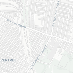
There are 87 schools within the typical catchment area, including 9 rated Outstanding by Ofsted and 46 rated Good. The nearest school is Lawrence Community Primary School (Ofsted: Good), within a short walk.

There were 74 crimes reported on the surrounding streets in the most recent month, indicating a high level of immediate-area crime.

Healthcare access is good, with 39 GP surgeries, 5 hospitals and 14 dental practices in the wider neighbourhood. The nearest GP practice is PENNY LANE SURGERY, about 3 minutes' walk away. The nearest hospital is LIVERPOOL SPIRE HOSPITAL, 1.0 mi away. A pharmacy is about 3 minutes' walk away.

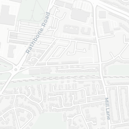
There are no train or Tube stations near L15 0EE. Bus services provide the main public transport, with 28 bus stops in the immediate area.

The location is in Flood Zone 1 (low risk — less than a 1 in 1,000 annual chance of river or sea flooding). road traffic noise is moderate (about 63 dB Lden).

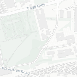
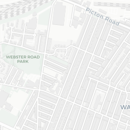
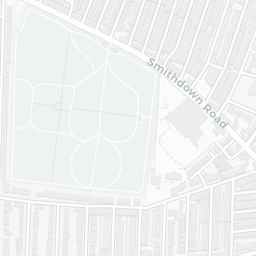
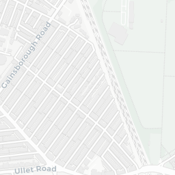
There are 9 green spaces within walking distance, totalling 23.9 hectares of parks and outdoor space. The nearest is St Hugh's Catholic Church, about 3 minutes' walk away.

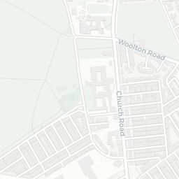
There are 60 supermarkets in the wider area, including The Co-operative Group, Aldi, Asda, Farmfoods and others. The nearest is Co-op Lawrence Road, within a short walk. A public library is about 10 minutes' walk away.

Sources: DfE/Ofsted, UK Police API, NHS ODS, NaPTAN, Environment Agency, Ordnance Survey, Natural England, DEFRA, Geolytix and Arts Council England. For an interactive map view, explore L15 0EE on NestScope.

Explore area insights about nearby locations

Data: DfE/Ofsted · UK Police API · NHS ODS · NaPTAN · Ordnance Survey · Geolytix. Crown Copyright / OGL. Look up any postcode: nestscope.uk/area/YOUR+POSTCODE — e.g. SW1A 1AA, M1 1AE, BS1 1HT.

NestScope

All data from publicly available UK government sources. Each dimension uses a category-appropriate radius (walking distance for crime and transport, school catchment, drive distance for healthcare). IMD context is the latest published English Indices of Deprivation (2019). This report is for informational purposes only.