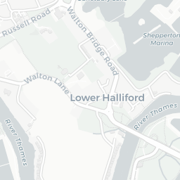
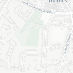
NestScope
KT12 3LN · Neighbourhood Report
© OpenStreetMap · © CARTO
Area Report
Last updated 13 JUN 2026

KT12 3LN

Neighbourhood Report

What's nearby — across walking, short-drive and school catchment distance. Data from official UK government sources.

NestScope Score
86/ 100

One of the most affluent neighbourhoods in England

Anchored on official IMD data — decile 10/10, ranked 30,713 of 32,844 neighbourhoods in England.

How this score is calculated
01 — Snapshot

Around KT12 3LN.

The large figure is how many we found nearby; the chip beside each label is that category’s NestScope score out of 100 — higher beats more of the UK.

Schools86/100
6Good/Outstanding within 1 mi

17 rated Good or better within 2 mi · 25 schools in total

Nearest top-rated: Walton Oak Primary School (Good) — 0.1 mi

Safety70/100
9crimes last month

IMD crime decile 7/10 · 9 crimes in 400m last month (residential-weighted: 7.3)

Crimes reported last month · UK Police API

Healthcare96/100
15GP & hospitals

IMD health decile 10/10 · 12 GP, 3 hospitals, 8 dentists, pharmacy 0.2 mi within 1.5 mi

Nearest GP: FORT HOUSE SURGERY — 0.1 mi

Transport73/100

No rail stations within 0.5 miles · 15 bus stops nearby

Green space80/100
8green spaces

IMD environment decile 8/10 · 16.4 ha total — largest park 9.5 ha (0.27 mi away)

Nearest: St John's Church — 0.1 mi

Amenities76/100
13supermarkets

13 supermarkets within 2 mi — Tesco, The Co-operative Group, Spar, Marks and Spencer… — nearest 0.6 mi — library 1.0 mi

Nearest: Tesco Molesey Rd Express — 0.6 mi

02 — Environment

Environment & risk near KT12 3LN.

Official risk flags for context — deliberately not part of the NestScope score (they’re categorical hazards, not amenities).

Flood risk
Zone 3 (high)

Flood Zone 3 — high risk (1 in 100 annual chance) · Source: Environment Agency Flood Map for Planning

Zone 1
Zone 2
Zone 3
Air qualityLow
12.5µg/m³

NO₂ annual mean · WHO guideline 10 · UK limit 40 · Source: DEFRA UK-AIR 2024

<10
10–20
20–30
30–40
≥40
Rail noiseQuiet
42dB Lden

Railways, day-evening-night average · Source: DEFRA strategic noise mapping

<55
55–64
65–74
≥75
03 — House prices

Sold prices in KT12.

Average sold price by property type across the KT12 district, 202120263,752 sales.

£0£500k£1M£1.5M202120222023202420252026
  • Detached
  • Semi-detached
  • Terraced
  • Flat
Detached£1.2M 14.2%
Semi-detached£680k 12.9%
Terraced£520k 5.0%
Flat£327k 3.6%

District-level averages (KT12) — broad enough to show a reliable trend. A single postcode usually sees too few sales to chart. Source: HM Land Registry Price Paid Data (Crown Copyright / OGL v3.0).

About KT12 3LN

KT12 3LN scores 86/100 on the NestScope Score, with its strongest showing in healthcare and schools — with FORT HOUSE SURGERY within a short walk. The breakdown below draws on official UK data covering schools, safety, healthcare, transport, environment and local amenities.

In national context, KT12 3LN is one of the most affluent neighbourhoods in England — IMD decile 10/10, ranked 30,713 of 32,844 neighbourhoods in England. The Index of Multiple Deprivation is the UK government's official measure of relative deprivation, refreshed roughly every five years. Housing pressure here is moderate (IMD housing decile 5/10).

There are 25 schools within the typical catchment area, including 3 rated Outstanding by Ofsted and 14 rated Good. The nearest school is Walton Oak Primary School (Ofsted: Good), within a short walk.

There were 9 crimes reported on the surrounding streets in the most recent month, indicating a low level of immediate-area crime.

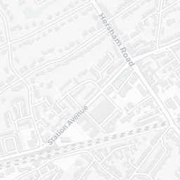
Healthcare access is good, with 12 GP surgeries, 3 hospitals and 8 dental practices in the wider neighbourhood. The nearest GP practice is FORT HOUSE SURGERY, within a short walk. The nearest hospital is WALTON COMMUNITY HOSPITAL, about 8 minutes' walk away. A pharmacy is about 4 minutes' walk away.

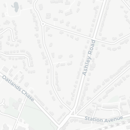
There are no train or Tube stations near KT12 3LN. Bus services provide the main public transport, with 15 bus stops in the immediate area.

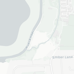
The location sits in Flood Zone 3 (high risk — between a 1 in 100 and 1 in 200 annual chance of river or sea flooding), which may affect insurance and mortgage availability. rail noise is low (about 42 dB Lden).

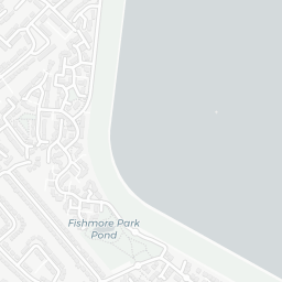
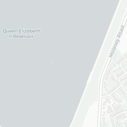
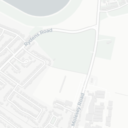
There are 8 green spaces within walking distance, totalling 16.4 hectares of parks and outdoor space. The nearest is St John's Church, about 2 minutes' walk away.

There are 13 supermarkets in the wider area, including Tesco, The Co-operative Group, Spar, Marks and Spencer and others. The nearest is Tesco Molesey Rd Express, about 11 minutes' walk away. A public library is 1.0 mi away.

Sources: DfE/Ofsted, UK Police API, NHS ODS, NaPTAN, Environment Agency, Ordnance Survey, Natural England, DEFRA, Geolytix and Arts Council England. For an interactive map view, explore KT12 3LN on NestScope.

Explore area insights about nearby locations

Data: DfE/Ofsted · UK Police API · NHS ODS · NaPTAN · Ordnance Survey · Geolytix. Crown Copyright / OGL. Look up any postcode: nestscope.uk/area/YOUR+POSTCODE — e.g. SW1A 1AA, M1 1AE, BS1 1HT.

NestScope

All data from publicly available UK government sources. Each dimension uses a category-appropriate radius (walking distance for crime and transport, school catchment, drive distance for healthcare). IMD context is the latest published English Indices of Deprivation (2019). This report is for informational purposes only.