NestScope
IP28 6TX · Neighbourhood Report
© OpenStreetMap · © CARTO
Area Report
Last updated 16 JUN 2026

IP28 6TX

Neighbourhood Report

What's nearby — across walking, short-drive and school catchment distance. Data from official UK government sources.

NestScope Score
70/ 100

An above-average neighbourhood

Anchored on official IMD data — decile 6/10, ranked 17,681 of 32,844 neighbourhoods in England.

How this score is calculated
01 — Snapshot

Around IP28 6TX.

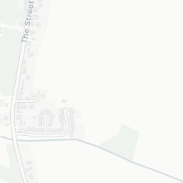
The large figure is how many we found nearby; the chip beside each label is that category’s NestScope score out of 100 — higher beats more of the UK.

Schools73/100
0Good/Outstanding within 1 mi

0 rated Good or better within 2 mi · 1 schools in total

No Good or Outstanding school within 2 mi

Safety96/100
0crimes last month

IMD crime decile 10/10 · no crimes in 400m last month

Crimes reported last month · UK Police API

Healthcare65/100
0GP & hospitals

IMD health decile 9/10 · no GP / hospital / dentist within 1.5 mi

Transport61/100

No rail stations within 0.5 miles · 1 bus stops nearby
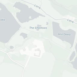
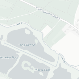
Green space44/100
1green spaces

IMD environment decile 2/10 · 0.4 ha total — no proper park nearby

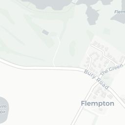
Nearest: St Mary's Church — 0.1 mi

Amenities45/100
0supermarkets

0 supermarkets within 2 mi

02 — Environment

Environment & risk near IP28 6TX.

Official risk flags for context — deliberately not part of the NestScope score (they’re categorical hazards, not amenities).

Flood risk
Zone 1 (low)

Flood Zone 1 — low risk (less than 1 in 1,000 annual chance) · Source: Environment Agency Flood Map for Planning

Zone 1
Zone 2
Zone 3
Air qualityWithin WHO guideline
5µg/m³

NO₂ annual mean · WHO guideline 10 · UK limit 40 · Source: DEFRA UK-AIR 2024

<10
10–20
20–30
30–40
≥40

About IP28 6TX

IP28 6TX scores 70/100 on the NestScope Score, with its strongest showing in safety and schools — with no crimes reported on the surrounding streets last month. The main trade-off is its green space score. The breakdown below draws on official UK data covering schools, safety, healthcare, transport, environment and local amenities.

Data: DfE/Ofsted · UK Police API · NHS ODS · NaPTAN · Ordnance Survey · Geolytix. Crown Copyright / OGL. Look up any postcode: nestscope.uk/area/YOUR+POSTCODE — e.g. SW1A 1AA, M1 1AE, BS1 1HT.