NestScope
IP26 4DB · Neighbourhood Report
© OpenStreetMap · © CARTO
Area Report
Last updated 17 JUN 2026

IP26 4DB

Neighbourhood Report

What's nearby — across walking, short-drive and school catchment distance. Data from official UK government sources.

NestScope Score
64/ 100

An above-average neighbourhood

Anchored on official IMD data — decile 6/10, ranked 16,599 of 32,844 neighbourhoods in England.

How this score is calculated
01 — Snapshot

Around IP26 4DB.

The large figure is how many we found nearby; the chip beside each label is that category’s NestScope score out of 100 — higher beats more of the UK.

Schools49/100
1Good/Outstanding within 1 mi

1 rated Good or better within 2 mi · 1 schools in total

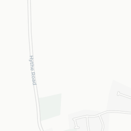
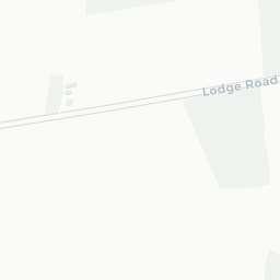
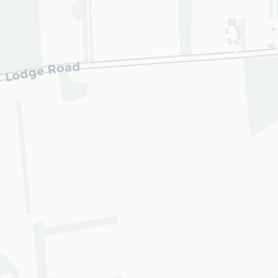
Nearest top-rated: Edmund de Moundeford VC Primary School, Feltwell (Good) — 0.1 mi

Safety91/100
3crimes last month

IMD crime decile 10/10 · 3 crimes in 400m last month (residential-weighted: 2.7)

Crimes reported last month · UK Police API

Healthcare56/100
1GP & hospitals

IMD health decile 4/10 · 1 GP within 1.5 mi

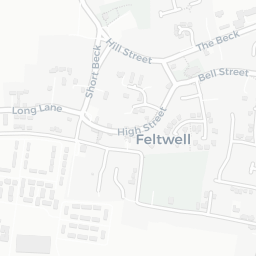
Nearest GP: FELTWELL SURGERY — 0.9 mi

Transport50/100

No rail stations within 0.5 miles

Green space63/100
8green spaces

IMD environment decile 3/10 · beside open access land (6.1 ha total — largest park 2.7 ha (0.27 mi away))

Nearest: Religious Grounds (0.14 ha) — 0.1 mi

Amenities51/100
1supermarkets

1 supermarket within 2 mi — Spar — nearest 0.2 mi

Nearest: Spar Feltwell — 0.2 mi

02 — Environment

Environment & risk near IP26 4DB.

Official risk flags for context — deliberately not part of the NestScope score (they’re categorical hazards, not amenities).

Flood risk
Zone 1 (low)

Flood Zone 1 — low risk (less than 1 in 1,000 annual chance) · Source: Environment Agency Flood Map for Planning

Zone 1
Zone 2
Zone 3
Air qualityWithin WHO guideline
4.6µg/m³

NO₂ annual mean · WHO guideline 10 · UK limit 40 · Source: DEFRA UK-AIR 2024

<10
10–20
20–30
30–40
≥40
Road noiseQuiet
42dB Lden

Road traffic, day-evening-night average · Source: DEFRA strategic noise mapping

<55
55–64
65–74
≥75

About IP26 4DB

IP26 4DB scores 64/100 on the NestScope Score, with its strongest showing in safety — with only 3 crimes reported on the surrounding streets last month. The breakdown below draws on official UK data covering schools, safety, healthcare, transport, environment and local amenities.

Explore area insights about nearby locations

Data: DfE/Ofsted · UK Police API · NHS ODS · NaPTAN · Ordnance Survey · Geolytix. Crown Copyright / OGL. Look up any postcode: nestscope.uk/area/YOUR+POSTCODE — e.g. SW1A 1AA, M1 1AE, BS1 1HT.