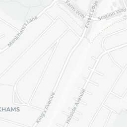
NestScope
IG8 0TX · Neighbourhood Report
© OpenStreetMap · © CARTO
Area Report
Last updated 12 JUN 2026

IG8 0TX

Neighbourhood Report

What's nearby — across walking, short-drive and school catchment distance. Data from official UK government sources.

NestScope Score
87/ 100

One of the most affluent neighbourhoods in England

Anchored on official IMD data — decile 10/10, ranked 31,386 of 32,844 neighbourhoods in England.

How this score is calculated
01 — Snapshot

Around IG8 0TX.

The large figure is how many we found nearby; the chip beside each label is that category’s NestScope score out of 100 — higher beats more of the UK.

Schools92/100
7Good/Outstanding within 1 mi

28 rated Good or better within 2 mi · 47 schools in total

Nearest top-rated: St Antony's Catholic Primary School (Good) — 0.0 mi

Safety82/100
5crimes last month

IMD crime decile 8/10 · 5 crimes in 400m last month (residential-weighted: 3.6)

Crimes reported last month · UK Police API

Healthcare93/100
20GP & hospitals

IMD health decile 10/10 · 18 GP, 2 hospitals, 13 dentists, pharmacy 0.6 mi within 1.5 mi

Nearest GP: THE BROADWAY SURGERY — 0.7 mi

Transport70/100

No rail stations within 0.5 miles · 10 bus stops nearby

Green space71/100
5green spaces

IMD environment decile 5/10 · 60 ha total — no proper park nearby

Nearest: Church of St Thomas of Canterbury — 0.1 mi

Amenities72/100
20supermarkets

20 supermarkets within 2 mi — Sainsburys, Chelmsford Star Co-operative Society, Cook, The Co-operative Group… — nearest 0.7 mi — library 0.7 mi

Nearest: Sainsburys Woodford Green The Broadway Local — 0.7 mi

02 — Environment

Environment & risk near IG8 0TX.

Official risk flags for context — deliberately not part of the NestScope score (they’re categorical hazards, not amenities).

Flood risk
Zone 1 (low)

Flood Zone 1 — low risk (less than 1 in 1,000 annual chance) · Source: Environment Agency Flood Map for Planning

Zone 1
Zone 2
Zone 3
Air qualityLow
15.2µg/m³

NO₂ annual mean · WHO guideline 10 · UK limit 40 · Source: DEFRA UK-AIR 2024

<10
10–20
20–30
30–40
≥40
03 — House prices

Sold prices in IG8.

Average sold price by property type across the IG8 district, 202120262,510 sales.

£0£500k£1M£1.5M202120222023202420252026
  • Detached
  • Semi-detached
  • Terraced
  • Flat
Detached£850k 27.0%
Semi-detached£710k 1.7%
Terraced£592k 7.0%
Flat£341k 6.6%

District-level averages (IG8) — broad enough to show a reliable trend. A single postcode usually sees too few sales to chart. Source: HM Land Registry Price Paid Data (Crown Copyright / OGL v3.0).

About IG8 0TX

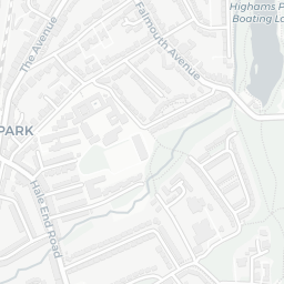
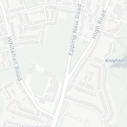
IG8 0TX scores 87/100 on the NestScope Score, with its strongest showing in healthcare and schools — with THE BROADWAY SURGERY about 13 minutes' walk away. The breakdown below draws on official UK data covering schools, safety, healthcare, transport, environment and local amenities.

In national context, IG8 0TX is one of the most affluent neighbourhoods in England — IMD decile 10/10, ranked 31,386 of 32,844 neighbourhoods in England. The Index of Multiple Deprivation is the UK government's official measure of relative deprivation, refreshed roughly every five years. Housing pressure here is low (IMD housing decile 8/10).

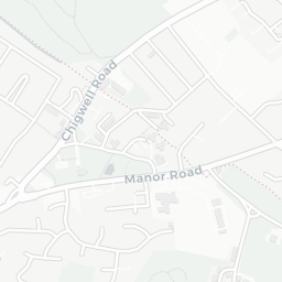
There are 47 schools within the typical catchment area, including 4 rated Outstanding by Ofsted and 24 rated Good. The nearest school is St Antony's Catholic Primary School (Ofsted: Good), within a short walk.

There were 5 crimes reported on the surrounding streets in the most recent month, indicating a very low level of immediate-area crime.

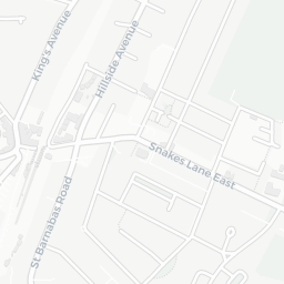
Healthcare access is good, with 18 GP surgeries, 2 hospitals and 13 dental practices in the wider neighbourhood. The nearest GP practice is THE BROADWAY SURGERY, about 13 minutes' walk away. The nearest hospital is HOLLY HOUSE PRIVATE HOSPITAL, about 13 minutes' walk away. A pharmacy is about 12 minutes' walk away.

There are no train or Tube stations near IG8 0TX. Bus services provide the main public transport, with 10 bus stops in the immediate area.

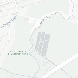
The location is in Flood Zone 1 (low risk — less than a 1 in 1,000 annual chance of river or sea flooding).

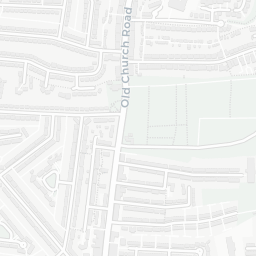
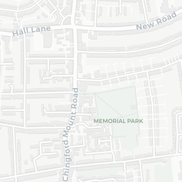
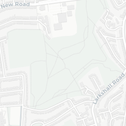
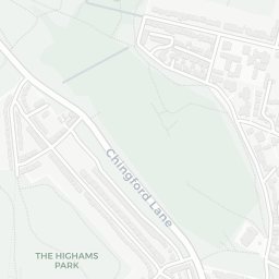
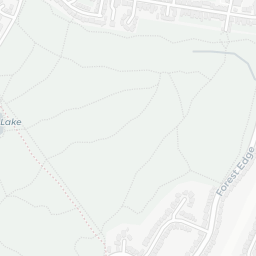
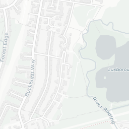
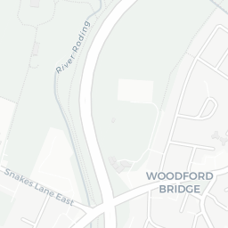
There are 5 green spaces within walking distance, totalling 60 hectares of parks and outdoor space. The nearest is Church of St Thomas of Canterbury, within a short walk.

There are 20 supermarkets in the wider area, including Sainsburys, Chelmsford Star Co-operative Society, Cook, The Co-operative Group and others. The nearest is Sainsburys Woodford Green The Broadway Local, 0.7 mi away. A public library is about 14 minutes' walk away.

Sources: DfE/Ofsted, UK Police API, NHS ODS, NaPTAN, Environment Agency, Ordnance Survey, Natural England, DEFRA, Geolytix and Arts Council England. For an interactive map view, explore IG8 0TX on NestScope.

Explore area insights about nearby locations

Data: DfE/Ofsted · UK Police API · NHS ODS · NaPTAN · Ordnance Survey · Geolytix. Crown Copyright / OGL. Look up any postcode: nestscope.uk/area/YOUR+POSTCODE — e.g. SW1A 1AA, M1 1AE, BS1 1HT.

NestScope

All data from publicly available UK government sources. Each dimension uses a category-appropriate radius (walking distance for crime and transport, school catchment, drive distance for healthcare). IMD context is the latest published English Indices of Deprivation (2019). This report is for informational purposes only.