About IG3 9AB
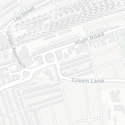
IG3 9AB scores 63/100 on the NestScope Score, with its strongest showing in healthcare and local amenities — with OAK TREE MEDICAL CENTRE about 6 minutes' walk away. The main trade-off is its safety score. The breakdown below draws on official UK data covering schools, safety, healthcare, transport, environment and local amenities.
In national context, IG3 9AB is an above-average neighbourhood — IMD decile 5/10, ranked 15,804 of 32,844 neighbourhoods in England. The Index of Multiple Deprivation is the UK government's official measure of relative deprivation, refreshed roughly every five years. Housing pressure here is high (IMD housing decile 3/10).
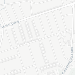
There are 80 schools within the typical catchment area, including 7 rated Outstanding by Ofsted and 51 rated Good. The nearest school is Oak House School, within a short walk.
There were 33 crimes reported on the surrounding streets in the most recent month, indicating a moderate level of immediate-area crime.
Healthcare access is good, with 50 GP surgeries, 1 hospital and 27 dental practices in the wider neighbourhood. The nearest GP practice is OAK TREE MEDICAL CENTRE, about 6 minutes' walk away. The nearest hospital is BARKING HOSPITAL, 1.3 mi away. A pharmacy is about 7 minutes' walk away.
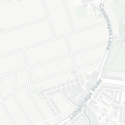
The nearest rail stations are Seven Kings Rail Station (Train, about 10 minutes' walk away). There are also 24 bus stops within walking distance.
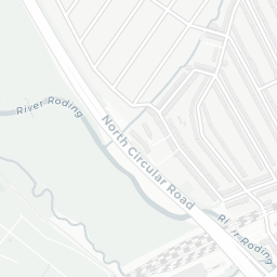
The location sits in Flood Zone 3 (high risk — between a 1 in 100 and 1 in 200 annual chance of river or sea flooding), which may affect insurance and mortgage availability. road traffic noise is moderate (about 59 dB Lden).
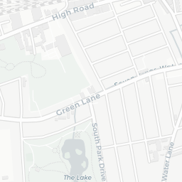
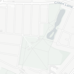
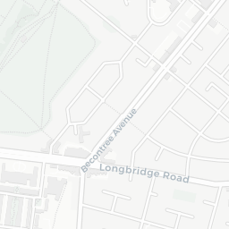
There are 6 green spaces within walking distance, totalling 20.1 hectares of parks and outdoor space. The nearest is South Park, about 2 minutes' walk away.
There are 39 supermarkets in the wider area, including Tesco, Lidl, Farmfoods, Aldi and others. The nearest is Tesco Ilford Esso Express, about 4 minutes' walk away. A public library is about 12 minutes' walk away.
Sources: DfE/Ofsted, UK Police API, NHS ODS, NaPTAN, Environment Agency, Ordnance Survey, Natural England, DEFRA, Geolytix and Arts Council England. For an interactive map view, explore IG3 9AB on NestScope.