NestScope
HA2 8LW · Neighbourhood Report
© OpenStreetMap · © CARTO
Area Report
Last updated 14 JUN 2026

HA2 8LW

Neighbourhood Report

What's nearby — across walking, short-drive and school catchment distance. Data from official UK government sources.

NestScope Score
64/ 100

An above-average neighbourhood

Anchored on official IMD data — decile 5/10, ranked 14,033 of 32,844 neighbourhoods in England.

How this score is calculated
01 — Snapshot

Around HA2 8LW.

The large figure is how many we found nearby; the chip beside each label is that category’s NestScope score out of 100 — higher beats more of the UK.

Schools69/100
11Good/Outstanding within 1 mi

43 rated Good or better within 2 mi · 60 schools in total

Nearest top-rated: The Welldon Park Academy (Good) — 0.1 mi

Safety40/100

IMD crime decile 3/10 · live count unavailable

Data temporarily unavailable

Healthcare89/100
30GP & hospitals

IMD health decile 8/10 · 27 GP, 3 hospitals, 16 dentists, pharmacy 0.2 mi within 1.5 mi

Nearest GP: KINGS ROAD SURGERY — 0.2 mi

Transport86/100
Northolt Park Rail Station0.4 mi
South Harrow Underground Station0.2 mi

17 bus stops also within 0.5 miles

Green space76/100
16green spaces

IMD environment decile 5/10 · 24.1 ha total — largest park 9.2 ha (0.20 mi away)

Nearest: Roxeth Allotments — 0.1 mi

Amenities95/100
40supermarkets

40 supermarkets within 2 mi — Aldi, Iceland, Asda, Waitrose… — nearest 0.1 mi — library 0.1 mi

Nearest: Aldi 330 Northolt Road — 0.1 mi

02 — Environment

Environment & risk near HA2 8LW.

Official risk flags for context — deliberately not part of the NestScope score (they’re categorical hazards, not amenities).

Flood risk
Zone 1 (low)

Flood Zone 1 — low risk (less than 1 in 1,000 annual chance) · Source: Environment Agency Flood Map for Planning

Zone 1
Zone 2
Zone 3
Air qualityLow
14.9µg/m³

NO₂ annual mean · WHO guideline 10 · UK limit 40 · Source: DEFRA UK-AIR 2024

<10
10–20
20–30
30–40
≥40
Road noiseQuiet
53dB Lden

Road traffic, day-evening-night average · Source: DEFRA strategic noise mapping

<55
55–64
65–74
≥75
03 — House prices

Sold prices in HA2.

Average sold price by property type across the HA2 district, 202120262,528 sales.

£0£500k£1M£1.5M202120222023202420252026
  • Detached
  • Semi-detached
  • Terraced
  • Flat
Detached£788k 16.0%
Semi-detached£613k 5.0%
Terraced£557k 9.0%
Flat£270k 13.2%

District-level averages (HA2) — broad enough to show a reliable trend. A single postcode usually sees too few sales to chart. Source: HM Land Registry Price Paid Data (Crown Copyright / OGL v3.0).

About HA2 8LW

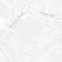
HA2 8LW scores 64/100 on the NestScope Score, with its strongest showing in local amenities and healthcare — with Aldi 330 Northolt Road within a short walk. The main trade-off is its safety score. The breakdown below draws on official UK data covering schools, safety, healthcare, transport, environment and local amenities.

In national context, HA2 8LW is an above-average neighbourhood — IMD decile 5/10, ranked 14,033 of 32,844 neighbourhoods in England. The Index of Multiple Deprivation is the UK government's official measure of relative deprivation, refreshed roughly every five years. Housing pressure here is high (IMD housing decile 2/10).

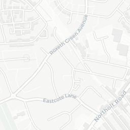
There are 60 schools within the typical catchment area, including 9 rated Outstanding by Ofsted and 34 rated Good. The nearest school is The Welldon Park Academy (Ofsted: Good), within a short walk.

Healthcare access is good, with 27 GP surgeries, 3 hospitals and 16 dental practices in the wider neighbourhood. The nearest GP practice is KINGS ROAD SURGERY, about 4 minutes' walk away. The nearest hospital is ROXBOURNE HOSPITAL, about 10 minutes' walk away. A pharmacy is about 4 minutes' walk away.

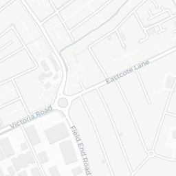
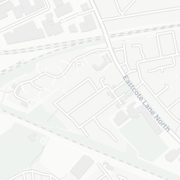
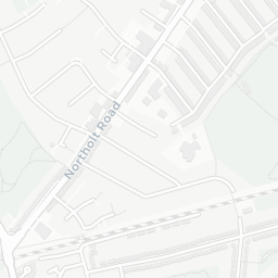
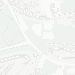
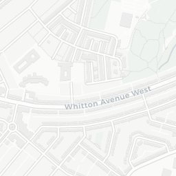
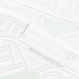
The nearest rail stations are Northolt Park Rail Station (Train, about 7 minutes' walk away), South Harrow Underground Station (Tube/Metro, about 4 minutes' walk away), South Harrow Underground Station (Tube/Metro, about 5 minutes' walk away). There are also 17 bus stops within walking distance.

The location is in Flood Zone 1 (low risk — less than a 1 in 1,000 annual chance of river or sea flooding). road traffic noise is low (about 53 dB Lden).

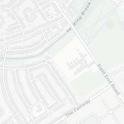
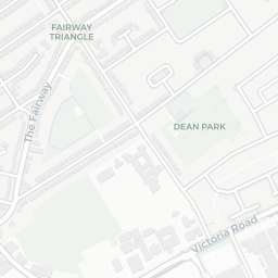
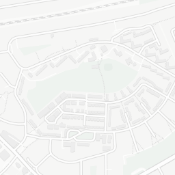
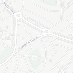
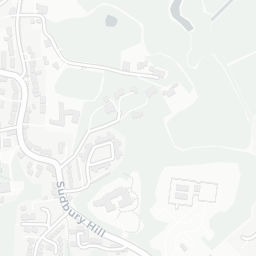
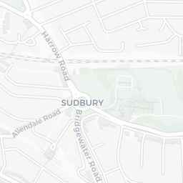
There are 16 green spaces within walking distance, totalling 24.1 hectares of parks and outdoor space. The nearest is Roxeth Allotments, about 3 minutes' walk away. It also lies just beside a nature reserve (about 13 minutes' walk away), adding open countryside that isn't recorded as a formal park.

There are 40 supermarkets in the wider area, including Aldi, Iceland, Asda, Waitrose and others. The nearest is Aldi 330 Northolt Road, within a short walk. A public library is within a short walk.

Sources: DfE/Ofsted, UK Police API, NHS ODS, NaPTAN, Environment Agency, Ordnance Survey, Natural England, DEFRA, Geolytix and Arts Council England. For an interactive map view, explore HA2 8LW on NestScope.

Explore area insights about nearby locations

Data: DfE/Ofsted · UK Police API · NHS ODS · NaPTAN · Ordnance Survey · Geolytix. Crown Copyright / OGL. Look up any postcode: nestscope.uk/area/YOUR+POSTCODE — e.g. SW1A 1AA, M1 1AE, BS1 1HT.

NestScope

All data from publicly available UK government sources. Each dimension uses a category-appropriate radius (walking distance for crime and transport, school catchment, drive distance for healthcare). IMD context is the latest published English Indices of Deprivation (2019). This report is for informational purposes only.