The large figure is how many we found nearby; the chip beside each label is that category’s NestScope score out of 100 — higher beats more of the UK.
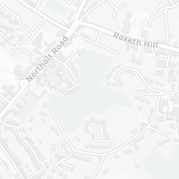
Schools91/100
8Good/Outstanding within 1 mi
33 rated Good or better within 2 mi · 48 schools in total
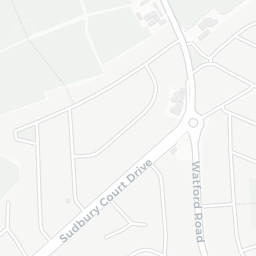
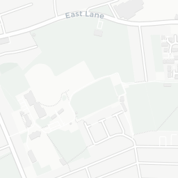
Nearest top-rated: Hillview Nursery School (Good) — 0.3 mi
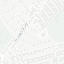
Safety54/100
14crimes last month
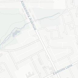
IMD crime decile 5/10 · 14 crimes in 400m last month (residential-weighted: 12.3)
Crimes reported last month · UK Police API
Healthcare96/100
39GP & hospitals
IMD health decile 10/10 · 35 GP, 4 hospitals, 25 dentists, pharmacy 0.1 mi within 1.5 mi
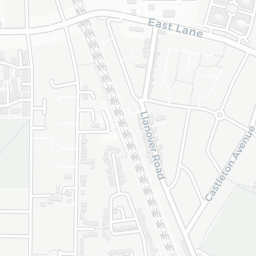
Nearest GP: KINGS ROAD SURGERY — 0.6 mi
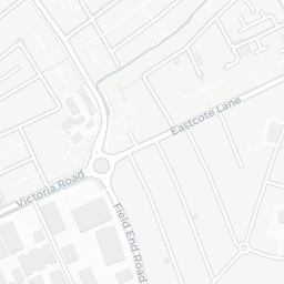
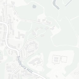
Transport71/100
No rail stations within 0.5 miles · 16 bus stops nearby
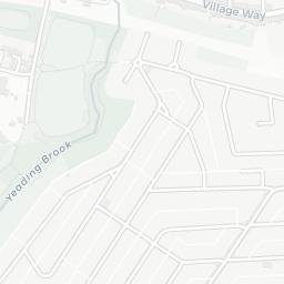
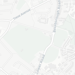
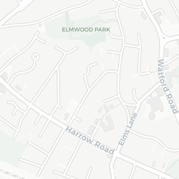
Green space78/100
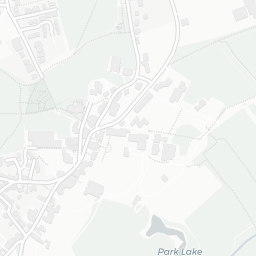
11green spaces
IMD environment decile 5/10 · 23.4 ha total — largest park 13.8 ha (0.24 mi away)
Nearest: Christ Church — 0.1 mi
Amenities76/100
38supermarkets
38 supermarkets within 2 mi — Waitrose, Tesco, Iceland, Marks and Spencer… — nearest 0.5 mi — library 0.8 mi
Nearest: Waitrose South Harrow — 0.5 mi