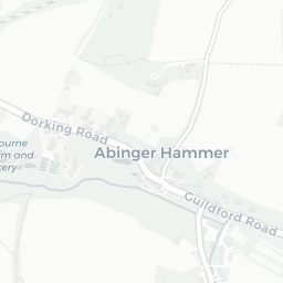
About GU5 9HB
GU5 9HB scores 73/100 on the NestScope Score, with its strongest showing in green space and healthcare — sitting within a AONB. The breakdown below draws on official UK data covering schools, safety, healthcare, transport, environment and local amenities.
In national context, GU5 9HB is a well-off neighbourhood — IMD decile 8/10, ranked 24,661 of 32,844 neighbourhoods in England. The Index of Multiple Deprivation is the UK government's official measure of relative deprivation, refreshed roughly every five years. Housing pressure here is high (IMD housing decile 4/10).
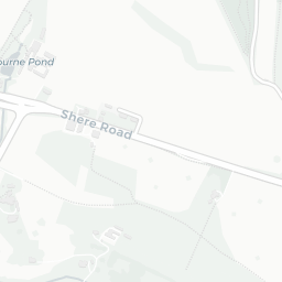
There are 3 schools within the typical catchment area. The nearest school is Shere CofE Aided Infant School, within a short walk.
Healthcare access is available, with 1 GP surgery in the wider neighbourhood. The nearest GP practice is SHERESURGERYANDDISPENSARY, about 2 minutes' walk away.
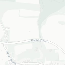
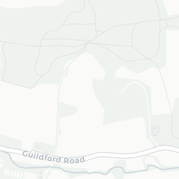
There are no train or Tube stations near GU5 9HB. Bus services provide the main public transport, with 6 bus stops in the immediate area.
The location is in Flood Zone 1 (low risk — less than a 1 in 1,000 annual chance of river or sea flooding).
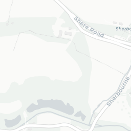
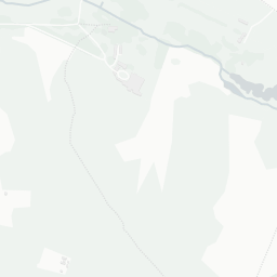
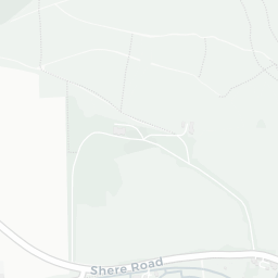
There are 6 green spaces within walking distance, totalling 3.6 hectares of parks and outdoor space. The nearest is Sports Facility (600 m²), within a short walk. The postcode sits within a AONB, giving it open countryside on the doorstep that isn't recorded as a formal park.
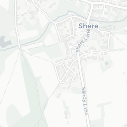
There are 2 supermarkets in the wider area, including The Southern Co-operative, Budgens. The nearest is Co-op Shere, within a short walk. A public library is within a short walk.
Sources: DfE/Ofsted, UK Police API, NHS ODS, NaPTAN, Environment Agency, Ordnance Survey, Natural England, DEFRA, Geolytix and Arts Council England. For an interactive map view, explore GU5 9HB on NestScope.