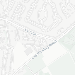
Nearest top-rated: St Dunstan's Catholic Primary School, Woking (Outstanding) — 0.1 mi
Safety32/100
—
IMD crime decile 2/10 · live count unavailable
Data temporarily unavailable
Healthcare94/100
15GP & hospitals
IMD health decile 10/10 · 13 GP, 2 hospitals, 12 dentists, pharmacy 0.4 mi within 1.5 mi
Nearest GP: THE PRACTICE COLLEGE ROAD — 0.2 mi
Transport92/100
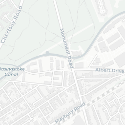
Woking Rail Station0.5 mi
31 bus stops also within 0.5 miles
Green space61/100
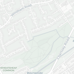
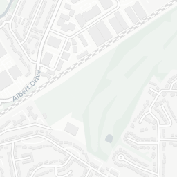
10green spaces
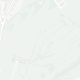
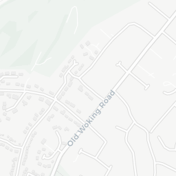
IMD environment decile 5/10 · beside open access land (5.5 ha total — no proper park nearby)
Nearest: St Dunstan's Roman Catholic Church — 0.1 mi
Amenities91/100
19supermarkets
19 supermarkets within 2 mi — Aldi, Asda, Budgens, Marks and Spencer… — nearest 0.3 mi — library 0.6 mi
Nearest: Aldi Woking — 0.3 mi
02 — Environment
Environment & risk near GU22 7AX.
Official risk flags for context — deliberately not part of the NestScope score (they’re categorical hazards, not amenities).
Flood risk
Zone 1 (low)
Flood Zone 1 — low risk (less than 1 in 1,000 annual chance) · Source: Environment Agency Flood Map for Planning
▼
Zone 1
Zone 2
Zone 3
Air qualityWithin WHO guideline
9.8µg/m³
NO₂ annual mean · WHO guideline 10 · UK limit 40 · Source: DEFRA UK-AIR 2024
▼
<10
10–20
20–30
30–40
≥40
Road noiseQuiet
49dB Lden
Road traffic, day-evening-night average · Source: DEFRA strategic noise mapping
▼
<55
55–64
65–74
≥75
Rail noiseQuiet
46dB Lden
Railways, day-evening-night average · Source: DEFRA strategic noise mapping
▼
<55
55–64
65–74
≥75
03 — House prices
Sold prices in GU22.
Average sold price by property type across the GU22 district, 2021–2026 — 2,840 sales.
Detached
Semi-detached
Terraced
Flat
Detached£1.1M▲ 15.5%
Semi-detached£525k▲ 5.9%
Terraced£417k▼ 3.9%
Flat£269k▼ 4.7%
District-level averages (GU22) — broad enough to show a reliable trend. A single postcode usually sees too few sales to chart. Source: HM Land Registry Price Paid Data (Crown Copyright / OGL v3.0).
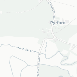
About GU22 7AX
GU22 7AX scores 75/100 on the NestScope Score, with its strongest showing in healthcare and schools — with THE PRACTICE COLLEGE ROAD about 5 minutes' walk away. The main trade-off is its safety score. The breakdown below draws on official UK data covering schools, safety, healthcare, transport, environment and local amenities.
In national context, GU22 7AX is a well-off neighbourhood — IMD decile 8/10, ranked 25,921 of 32,844 neighbourhoods in England. The Index of Multiple Deprivation is the UK government's official measure of relative deprivation, refreshed roughly every five years. Housing pressure here is high (IMD housing decile 4/10).
There are 24 schools within the typical catchment area, including 2 rated Outstanding by Ofsted and 13 rated Good. The nearest school is St Dunstan's Catholic Primary School, Woking (Ofsted: Outstanding), within a short walk.
Healthcare access is good, with 13 GP surgeries, 2 hospitals and 12 dental practices in the wider neighbourhood. The nearest GP practice is THE PRACTICE COLLEGE ROAD, about 5 minutes' walk away. The nearest hospital is WOKING HOSPITAL, about 11 minutes' walk away. A pharmacy is about 8 minutes' walk away.
The nearest rail stations are Woking Rail Station (Train, about 9 minutes' walk away). There are also 31 bus stops within walking distance.
The location is in Flood Zone 1 (low risk — less than a 1 in 1,000 annual chance of river or sea flooding). road traffic noise is low (about 49 dB Lden), and rail noise is low (about 46 dB Lden).
There are 10 green spaces within walking distance, totalling 5.5 hectares of parks and outdoor space. The nearest is St Dunstan's Roman Catholic Church, within a short walk. It also lies just beside a open access land (about 8 minutes' walk away), adding open countryside that isn't recorded as a formal park.
There are 19 supermarkets in the wider area, including Aldi, Asda, Budgens, Marks and Spencer and others. The nearest is Aldi Woking, about 6 minutes' walk away. A public library is about 11 minutes' walk away.
Sources: DfE/Ofsted, UK Police API, NHS ODS, NaPTAN, Environment Agency, Ordnance Survey, Natural England, DEFRA, Geolytix and Arts Council England. For an interactive map view, explore GU22 7AX on NestScope.